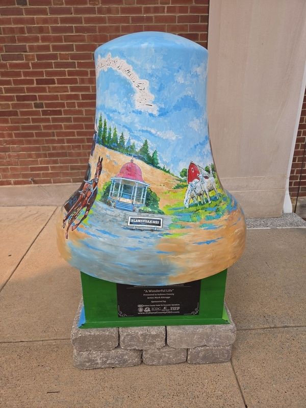
On Philadelphia Street (Pennsylvania Route 954) 0.1 miles west of North 8th Street, on the right when traveling west.
Formed March 30, 1803 from Westmoreland and Lycoming counties, and once densely forested. Its name memorializes the first inhabitants. County seat, Indiana, was laid out 1805 on land given by George Clymer, signer of the Declaration of . . . — — Map (db m40564) HM
A journey down the West Branch tells the tale of lumbering in Pennsylvania, from the early lumber mills to today's sustainable forests. As you float downstream you will see the legacy of lumber; the "rafting points" used by river pilots to navigate . . . — — Map (db m87639) HM
On Front Street (Pennsylvania Route 153) just north of Locust Street, on the right when traveling south.
A journey down the West Branch tells the tale of lumbering in Pennsylvania, from the early lumber mills to today's sustainable forests. As you float downstream you will see the legacy of lumber; the "rafting points" used by river pilots to . . . — — Map (db m251275) HM
A journey down the West Branch tells the tale of lumbering in Pennsylvania, from the early lumber mills to today's sustainable forests. As you float downstream you will see the legacy of lumber; the "rafting points" used by river pilots to . . . — — Map (db m263023) HM
On 6th Street at Washington Street, on the left when traveling south on 6th Street.
This gun is a 5-inch Model 1897 rifled cannon. A total of
70 such cannons were made, but only 7 remain today. This
cannon is Number (No.) 14. The average Model 1897 cannon
weighed 7,583 pounds; however, this one weighs 9,283
pounds due to the . . . — — Map (db m265048) HM
On Washington Street (Pennsylvania Route 286) at West Penn Trail, on the right when traveling west on Washington Street.
Site of Pennsylvania main line canal 1829-1864
In Saltsburg were two boatyards, warehouses, lift lock number 8 and A turning basin. Salt was shipped from wells nearby. Passengers traveled on packet boats. One of these was owned and operated by . . . — — Map (db m49211) HM
Near Hemlock Acres Road 2.2 miles north of Route 954.
This is a small re-creation of an 18th century log fort or blockhouse typical of this area. The building was erected in Smicksburg by Amish craftsmen using local logs and authentic saddle-notch construction and then moved to this site. Log buildings . . . — — Map (db m49198) HM
On West 18th Street at Baynard Boulevard on West 18th Street.
African American Medal of Honor Recipients Memorial
The Medal of Honor takes its place in our country as the highest award for military valor. The honor, awarded by the President in the name of Congress, may only be accorded an . . . — — Map (db m173924) HM WM
On NW 4th Street at Vine Street, on the right when traveling north on NW 4th Street.
On March 2, 1827, Congress provided a land grant to encourage Indiana to build the Wabash & Erie Canal. The original plan was to link the navigable water of the Maumee with the Wabash through the seven mile portage at Fort Wayne. Work began five . . . — — Map (db m48241) HM
On East Union Street at Merchants Alley, on the right when traveling west on East Union Street.
The "Last Purchase” land became Pennsylvania counties. Jefferson County was officially designated in 1806. Rev.
David Barclay and his son-in-law John W. Jenks purchased the land about 1818. In 1821 David Barclay recorded the town site with the . . . — — Map (db m306147) HM
Thin black lines indicate changes in relevance. Between each pair of lines entries are ordered geographically but all have the same relevance.
* Inflectional forms of words are their plurals, singulars, and possessives as well as gramatical tenses and similar variations.