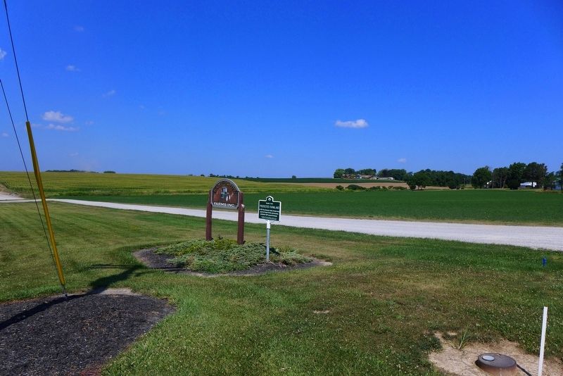
or Little Beard's Town
De-O-Nun-Da-Ga-A
(Where the Hill is Near)
This principal village of the Senecas was destroyed in 1779 and was the farthest point reached by General John Sullivan and an army of four thousand men acting under direct . . . — — Map (db m58056) HM
This wayside shrine marks the place
where on September 14, 1779 two young soldiers of the Revolution Lieutenant Thomas Boys and Sergeant Michael Parker met death undaunted in the line of duty after lingering torture.
They marked with their blood . . . — — Map (db m58057) HM
Jonathan Davison (1795-1865), a native of Livingston County, New York, purchased 160 acres of land here in 1831. His son, John W. Davison, a farmer and carpenter, completed the rear portion of the present structure in 1855. He enlarged it to its . . . — — Map (db m179801) HM
In the early 1830s, many New England homesteaders moved west towards the Territory of Michigan in search of fertile land close to a river or stream. Many traveled by boat along the Erie Canal and then inland on existing Anishinaabe trails.
. . . — — Map (db m202037) HM
Hamburg
The year 1831 marked the arrival of Hamburg's first settlers--Felix Dunlavey, Jesse Hall, Calvin Jackson, Cornelius Miller and Herman Lake--and their families. In 1835, Ann Arbor merchant E.F. Gay and Amariah Hammond purchased thirty . . . — — Map (db m50165) HM
The first land patent for land in the Village of Dundee, was issued to William Remington, from Livingston County, New York, on July 23, 1823. Riley Ingersoll, Dundee's first white settler, settled here in 1824. The settlement was named Dundee by . . . — — Map (db m100794) HM WM
This one and one-half storey "Ontario Classic Revival
House" with pillastered door case and shuttered
double-hung windows was built for Jones Moore and
Caroline Pew (U.E.L.).
Jones Moore was an importer and wholesale merchant
originally . . . — — Map (db m275402) HM
A Railroad Takes Over the Canal
The Genesee Valley Canal Railroad purchased the Genesee Valley Canal after it closed in 1878 or $100 a mile and began building tracks on the canal's towpath. By the time the line was opened here at . . . — — Map (db m64946) HM
Dedicated to the men and women employed by the Mount Morris Dam Builders and U.S. Army Corps of Engineers, Buffalo District 1948-1952
Under the Flood Control Act of 1944, the United States Congress authorized the construction of a dam . . . — — Map (db m143298) HM
The Native American most closely identified with our region is Guyasuta of the Seneca Nation. His name has many different spellings and it is said to mean, (Gayahsö:dö')“Standing Paddle.”
Guyasuta was a Seneca Wolf Clan chief before his nephew . . . — — Map (db m248506) HM
This cemetery is the resting place for at least two dozen early settlers to the falls area. It is believed that the burials, or at least the stones, were moved here from another location in the park. A number of graves are unmarked. In the 1950s, . . . — — Map (db m167908) HM
Thin black lines indicate changes in relevance. Between each pair of lines entries are ordered geographically but all have the same relevance.
* Inflectional forms of words are their plurals, singulars, and possessives as well as gramatical tenses and similar variations.