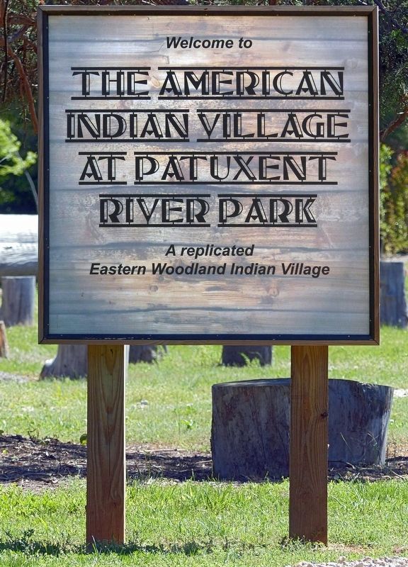
Near Croom in Prince George's County, Maryland — The American Northeast (Mid-Atlantic)
Woodland Indian Villages on the Patuxent River
Inscription.
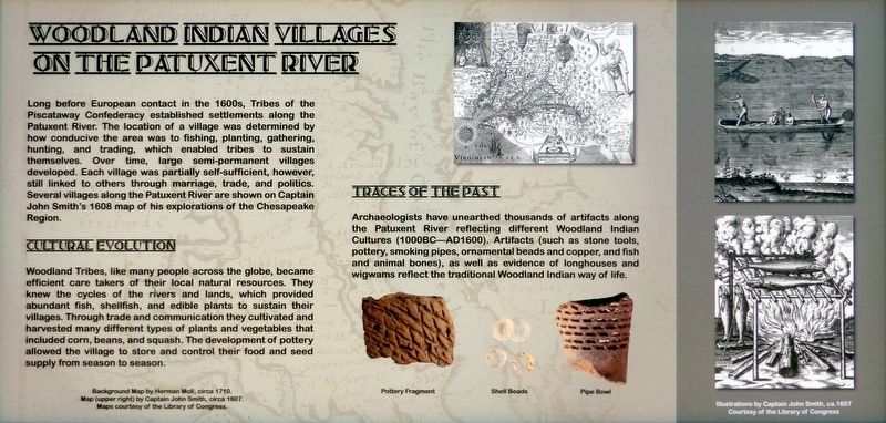
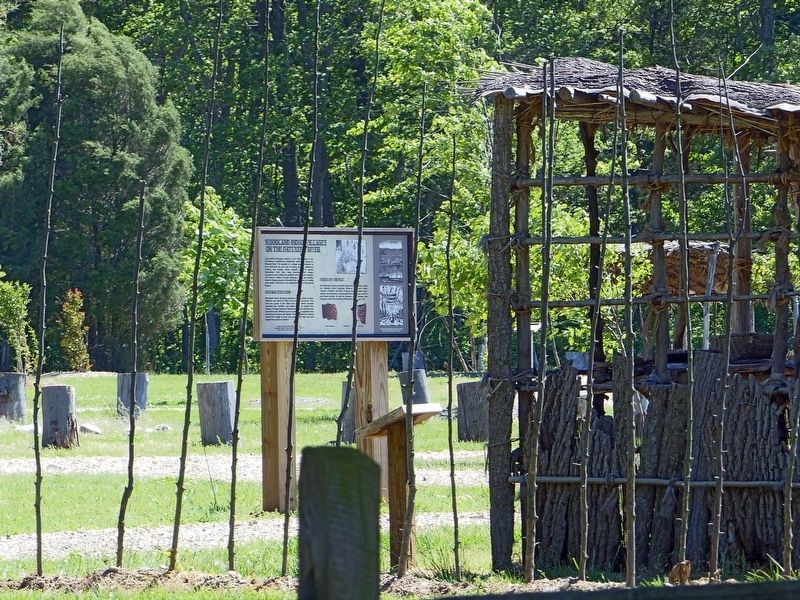
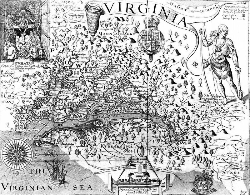
Long before European contact in the 1600s, Tribes of the Confederacy established settlements along the River. The location of a village was determined by how conducive the area was to fishing, planting, gathering, hunting, and trading, which enabled tribes to sustain themselves. Over time, large semi-permanent villages developed. Each village was partially self-sufficient, however, still linked to others through marriage, trade, and politics. Several villages along the Patuxent River are shown on Captain John Smith's 1608 map of his explorations of the Chesapeake Region.
Cultural Evolution
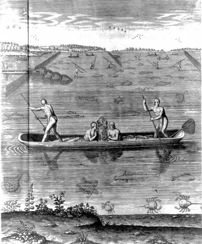
Woodland Tribes, like many people across the globe, became efficient care takers of their local natural resources. They knew the cycles of the rivers and lands, which provided abundant fish, shellfish, and edible plants to sustain their villages. Through trade and communication they cultivated and harvested many different types of plants and vegetables that included corn, beans, and squash. The development of pottery allowed the village to store and control their food and seed supply from season to season.
Topics. This historical marker is listed in these topic lists: Anthropology & Archaeology • Colonial Era • Native Americans • Settlements & Settlers. A significant historical year for this entry is 1608.
Location. 38° 45.097′ N, 76° 42.089′ W. Marker is near Croom, Maryland, in Prince George's County. Marker is on Croom Airport Road when traveling south. Touch for map. Marker is at or near this postal address: 16298 Croom Airport Road, Upper Marlboro MD 20772, United States of America. Touch for directions.
Other nearby markers. At least 8 other markers are within walking distance of this marker. Man and the River (about 300 feet away, measured in a direct line); Aviation History (approx. 0.4 miles away); Columbia Air Center (approx. half a mile away); John W. Greene (approx. half a mile away); The Compass Rose (approx. half a mile away); The Cloud Club (approx. half a mile away); The Chesapeake Bay Critical Area Driving Tour (approx. half a mile away); Eastern Bluebird (approx. half a mile away). Touch for a list and map of all markers in Croom.
Also see . . . New American Indian Village Takes Visitors Back in Time. AOA News website entry (Submitted on March 20, 2022, by Larry Gertner of New York, New York.)
Photographed By Allen C. Browne, May 15, 2017
4. Traces of the Past
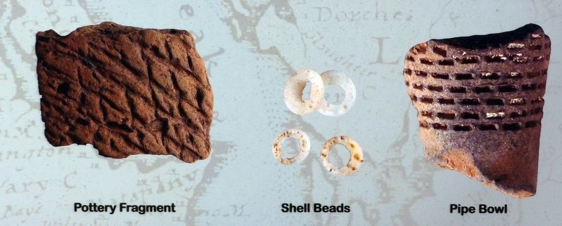
Archaeologists have unearthed thousands of artifacts along the Patuxent River reflecting different Woodland Indian Cultures (1000BC AD1600). Artifacts (such as stone tools, pottery, smoking pipes, ornamental beads and copper, and fish and animal bones), as well as evidence of longhouses and wigwams reflect the traditional Woodland Indian way of life.Close-up of photos on marker
Photographed By Allen C. Browne, May 15, 2017
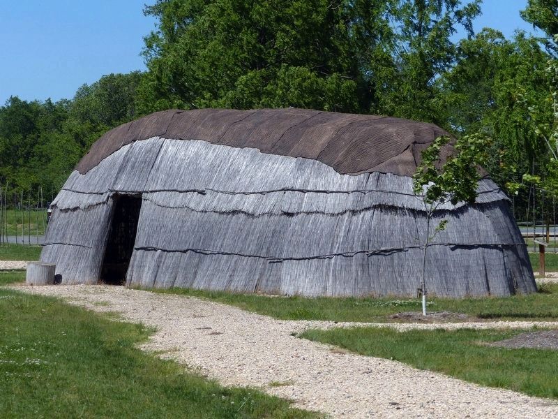
8. Longhouse
“The Eastern Woodland Peoples of the Chesapeake region built their homes in the forest and long rivers or streams. Wigwams and longhouses were erected for shelter, sleeping, and storage. The rounded dome shaped frames were make using flexible saplings placed into the ground. The sapling tops were bent and tied together with natural cordage. The structures were covered with tree bark and/or grasses, with holes in the roof, directly above each fire pit to allow smoke to escape. The doorway heights were low, requiring one to bend down to enter or exit. Construction techniques were similar for wigwams and longhouses; wigwams were smaller an round, and housed one to two families. Longhouses were elongated and could measure 100 feet or more, capable of housing multiple families.” - Patuxent River Park Signage.
Photographed By Allen C. Browne, May 15, 2017
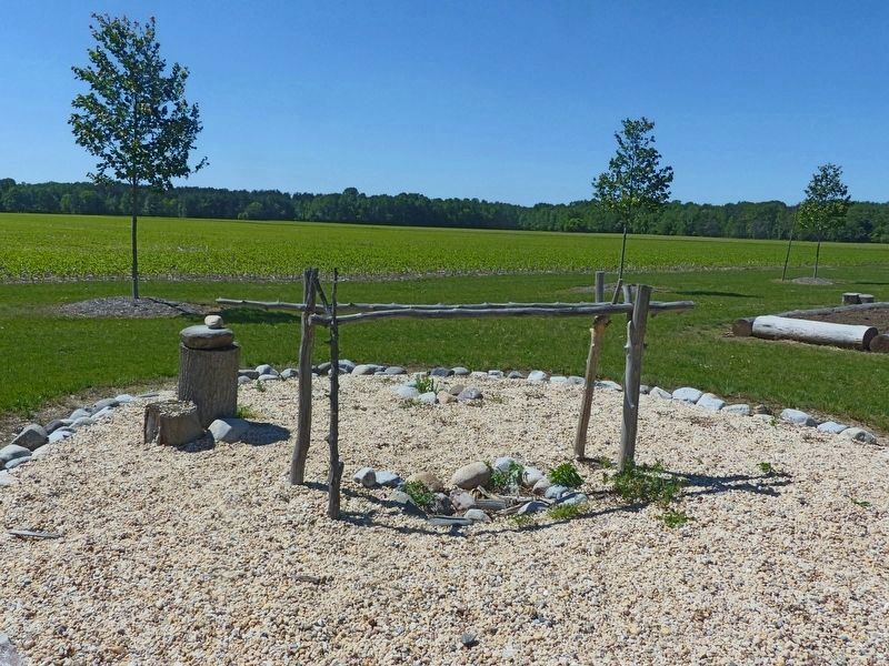
9. Cooking
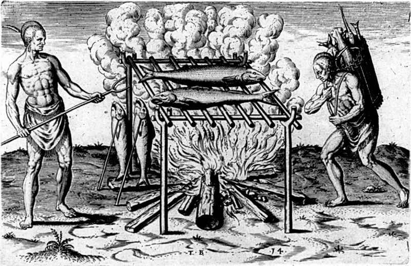
“Eastern Woodland Peoples ate a variety of foods, which included mammals, fish, berries, corn, squash, beans, nuts, rice and more. The food was prepared by grilling, roasting, baking, or boiling. Cooking took place outdoors or within shelters.” - Patuxent River Park Signage.
Photographed By Allen C. Browne, May 15, 2017
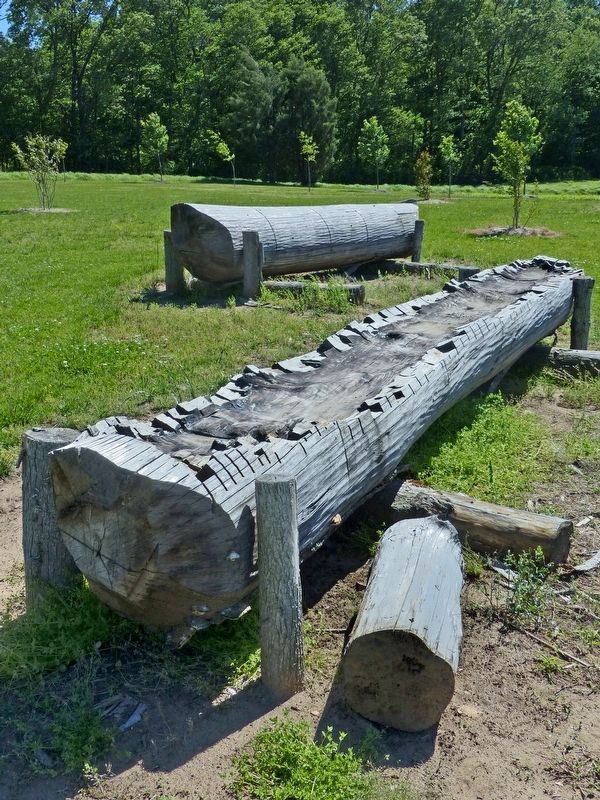
10. Dugout Canoe
“The Woodland Peoples made dugout Canoes by slowly burning out the center of a large log. The fire was controlled by packing wet mud over the surfaces they didn't want to burn. Animal bones, shells, and stones were used to scrape away burned wood. The process was repeated until the canoe was carved into its desired shape.” - Patuxent River Park Signage.
Credits. This page was last revised on March 20, 2022. It was originally submitted on May 30, 2017, by Allen C. Browne of Silver Spring, Maryland. This page has been viewed 726 times since then and 43 times this year. Photos: 1, 2, 3, 4, 5, 6. submitted on May 30, 2017, by Allen C. Browne of Silver Spring, Maryland. 7. submitted on June 7, 2017, by Allen C. Browne of Silver Spring, Maryland. 8, 9, 10. submitted on May 31, 2017, by Allen C. Browne of Silver Spring, Maryland. 11. submitted on June 7, 2017, by Allen C. Browne of Silver Spring, Maryland. • Bill Pfingsten was the editor who published this page.
