Ballenger Creek in Frederick County, Maryland — The American Northeast (Mid-Atlantic)
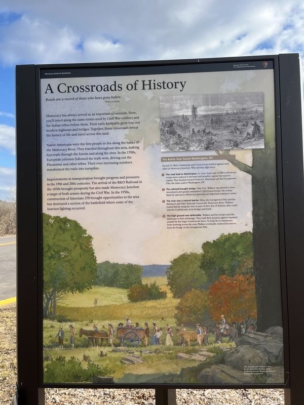
A Crossroads of History
Monocacy National Battlefield
— National Park Service, U.S. Department of the Interior —
Roads are a record of those who have gone before.
—Rebecca Solnit
Monocacy has always served as an important crossroads. Here, you'll travel along the same routes used by Civil War soldiers and the Indian tribes before them. Their early footpaths grew into our modern highways and bridges. Together, these crossroads reveal the history of life and travel across this land.
Native Americans were the first people to live along the banks of the Monocacy River. They traveled throughout the area, making foot trails through the forests and along the river. In the 1700s, European colonists followed the trails west, driving out the Piscataway and other tribes. Their ever-increasing numbers transformed the trails into turnpikes.
Improvements in transportation brought progress and pressures into the 19th and 20th centuries. The arrival of the B&O Railroad in the 1830s brought prosperity but also made Monocacy Junction a target of both armies during the Civil Wars. In the 1950s, construction of Interstate 270 brought opportunities to the area but destroyed a section of the battlefield where some of the heaviest fighting occurred.
[Sidebar:]
The Battle that Saved Washington, DC
On July 9, 1864, Confederate and Union troops battled against each other at Monocacy Junction. Why did they fight here?
❶ The Road lead to Washington. LT. Gen. Early and 15,000 Confederate troops were ordered to threaten and possibly capture the nation's capital. They headed toward Frederick, Maryland and the Georgetown Pike, the main road to Washington, DC.
❷ The railroad brought troops Maj. Gen. Wallace was alerted to their movements and quickly assembled 3,200 Union troops. He rushed them by railroad to Monocacy Junction, an important transport center.
❸ The river was a natural barrier. Here, the Georgetown Pike and the Baltimore and Ohio Railroad crossed the Monocacy River. Wallace hoped that by using the river as part of their line of defense, they could stop the Confederates at its bridges and fords.
❹ The high ground was defensible. Wallace and his troops used the landscape to their advantage. They held their position against repeated assaults by the larger Confederate force. To keep the Confederates from storming across the river, Wallace eventually ordered his men to burn the bridge on the Georgetown Pike.
Erected by National Park Service, U.S. Department of the Interior.
Topics and series. This historical marker is listed in these topic lists:
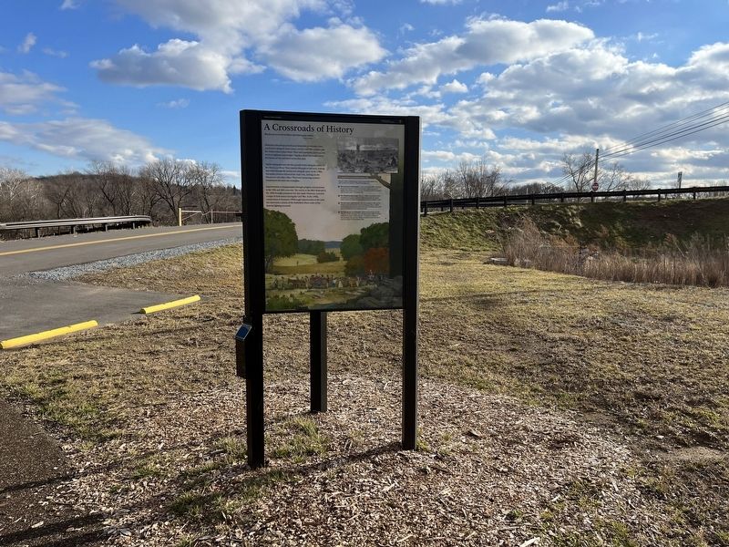
Location. 39° 22.261′ N, 77° 23.471′ W. Marker is in Ballenger Creek, Maryland, in Frederick County. Marker can be reached from Urbana Pike (Maryland Route 355) 1.4 miles south of New Technology Way, on the right when traveling north. Touch for map. Marker is at or near this postal address: 5025-5067 MD-355, Frederick MD 21703, United States of America. Touch for directions.
Other nearby markers. At least 8 other markers are within walking distance of this marker. Caring for the River (here, next to this marker); A Bold Plan (here, next to this marker); Slave to Soldier (within shouting distance of this marker); Nick of Time (within shouting distance of this marker); Federals Take a Stand (about 300 feet away, measured in a direct line); Commemoration (about 300 feet away); 14th New Jersey Infantry Regiment (about 400 feet away); CPL Kirk J Bosselmann (about 400 feet away).
Credits. This page was last revised on January 7, 2023. It was originally submitted on January 7, 2023, by Devry Becker Jones of Washington, District of Columbia. This page has been viewed 143 times since then and 25 times this year. Photos: 1, 2. submitted on January 7, 2023, by Devry Becker Jones of Washington, District of Columbia.

