Childress in Childress County, Texas — The American South (West South Central)
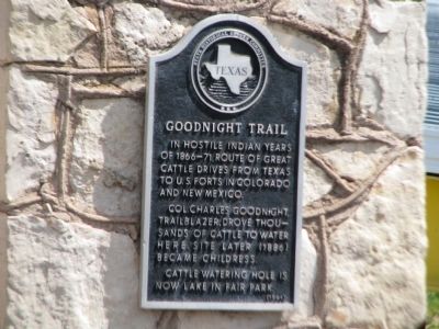
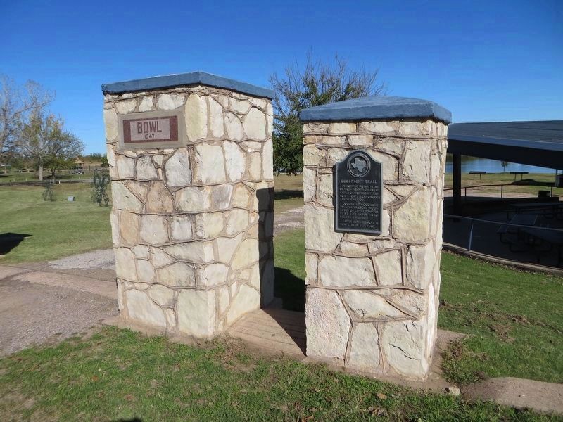
Goodnight Trail
Erected 1964 by State Historical Survey Committee. (Marker Number 2226.)
Topics. This historical marker is listed in these topic lists: Agriculture • Forts and Castles • Parks & Recreational Areas • Roads & Vehicles • Wars, US Indian • Waterways & Vessels. A significant historical year for this entry is 1964.
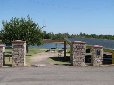
Location. 34° 25.889′ N, 100° 12.176′ W. Marker is in Childress, Texas, in Childress County. Marker can be reached from Ave I NW, on the left when traveling east. Marker is in Fair Park. Touch for map. Marker is in this post office area: Childress TX 79201, United States of America. Touch for directions.
Other nearby markers. At least 8 other markers are within one mile of this marker, measured as the crow flies. Childress Cemetery (approx. ¼ mile away); Colonel Wm. Edgar Hughes of the Mill Iron (approx. 0.4 miles away); Childress County (approx. 0.4 miles away); Frank Collinson (approx. 0.6 miles away); Childress Post Office Building (approx. 0.6 miles away); Palace Theater (approx. 0.6 miles away); Old Railroad Y.M.C.A. (approx. 0.8 miles away); Morgan Hospital (approx. 1.1 miles away). Touch for a list and map of all markers in Childress.
Credits. This page was last revised on December 21, 2019. It was originally submitted on September 27, 2011, by Timothy McDaniel of Lewisville, Texas. This page has been viewed 1,380 times since then and 30 times this year. Photos: 1. submitted on September 27, 2011, by Timothy McDaniel of Lewisville, Texas. 2. submitted on December 4, 2016, by Bill Kirchner of Tucson, Arizona. 3. submitted on October 2, 2011, by Timothy McDaniel of Lewisville, Texas. • Bill Pfingsten was the editor who published this page.


