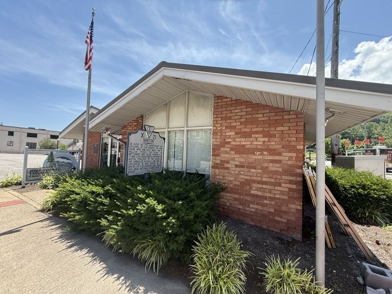
"Commemorating our 50th year of service to Wise County and the City of Norton"
The Wise County Virginia Chamber of Commerce exists for the purpose of advancing and publicizing the commercial, industrial, . . . — — Map (db m304918) HM
Wise County. Wise County was formed in 1856 from Lee, Scott,
and Russell Counties. It was named for Henry
Alexander Wise who was governor of Virginia
from 1856 to 1860. The county seat is the town
of Wise. After the Civil War the town of . . . — — Map (db m90800) HM
The college was founded at 1954 as Clinch Valley College of the University of Virginia, through the efforts of local citizens and University of Virginia officials including President Colgate W. Darden, Jr.; Samuel H. Crockett, extension services . . . — — Map (db m90859) HM
Colonial Hotel
has been registered as a
Virginia
Historic
Landmark
pursuant to the authority vested in the
Virginia Board of Historic Resources — — Map (db m304977) HM
Wise
Known variously through the years as Big Glades, Gladesville, and Gladeville, Wise took its current name in 1924 after Henry Alexander Wise, Governor of Virginia before the Civil War. Located on the road between Union Kentucky and the . . . — — Map (db m304975) HM
Entering the town of Lieutenant Daniel Webster Dotson, born Sept 25, 1920; died May 2, 1953. A veteran of the Korean War and World War II. Virginia’s second-highest decorated soldier and Wise County’s most decorated soldier in the Korean War. — — Map (db m90844) HM
Entering the town of Lieutenant Daniel Webster Dotson, born Sept 25, 1920; died May 2, 1953. A veteran of the Korean War and World War II. Virginia’s second-highest decorated soldier and Wise County’s most decorated soldier in the Korean War. — — Map (db m90777) HM WM
Entering the town of Lieutenant Daniel Webster Dotson, born Sept 25, 1920; died May 2, 1953. A veteran of the Korean War and World War II. Virginia’s second-highest decorated soldier and Wise County’s most decorated soldier in the Korean War. — — Map (db m90795) HM
Once a staple of Bridgeport's economy, coal was discovered here in later part of 19th century. Diggers hit vein 60 feet deep while seeking water. Mine No. 1 lies under northeast Bridgeport, and entire area is honeycombed with tunnels and shafts. . . . — — Map (db m180406) HM
Lee County, the western-most county in
Virginia, was formed from Russell County in
1792; a part of Scott County was added
later. The county is named for Henry “Light-
Horse Harry” Lee, governor of Virginia
from 1791 to 1794 and former . . . — — Map (db m228710) HM
The Lynching of Dave Hurst
On November 14, 1920, a large white mob lynched a 25-year-old Black coal miner named Dave Hurst. Authorities had arrested Mr. Hurst two days earlier after a white woman reported that she had been assaulted by a . . . — — Map (db m273690) HM
About 500 yards southeast of Pound Gap, along the Fincastle Trail (Virginia side) is the location of the infamous “killing rock” where the Mullins’ family and friends were massacred on May 14, 1892. Five people were killed: Ira Mullins, his wife, . . . — — Map (db m90801) HM
As early as 1852, railroaders, local merchants, and mineral speculators knew Natural Tunnel would be the most economical rail route to the coal fields of Lee County and the western part of present day Wise County, because the Tunnel would let them . . . — — Map (db m36109) HM
The "Cold War”, often dated from 1947-1991, was a sustained state of high political and military tension between the powers of the Western World, led by the United States and its NATO allies, and the communist world, led by the . . . — — Map (db m208196) HM
County named for Henry A. Wise, U.S. Senator from Virginia who supported Texas annexation, later Governor and C.S.A. general. Wise County was part of District One of 33 brigade districts of Texas established to recruit men for Confederate and state . . . — — Map (db m108530) HM
Wise County. Wise County was formed in 1856 from Lee, Scott,
and Russell Counties. It was named for Henry
Alexander Wise who was governor of Virginia
from 1856 to 1860. The county seat is the town
of Wise. After the Civil War the town of . . . — — Map (db m90775) HM
John Donelson’s Line, surveyed after the Treaty of Lochaber with the Indians, 1770, crossed the road here. This line separated Indian territory from land open to settlement. Violations of the line by settlers contributed to Dunmore's War, 1774. — — Map (db m44396) HM
The town of Wise was known as Big Glades
when a post office was established here in
1850,
Before being incorporated as Wise in 1926 it was also called Gladeville and Wise Court House. Since the creation in 1856 of
Wise County, named for Henry . . . — — Map (db m90847) HM
John W. Flannagan Reservoir on Pound River,
the principal tributary to Russell Fork, is the
major public water source for Dickenson,
Buchanan, and portions of Wise County,
Virginia, and services the present dominant
industry, coal mining, for . . . — — Map (db m90720) HM
The Kelly View School is a small, one-room frame schoolhouse which stands as an important vestige of the early educational
and social history of the Southern Appalachian coalfields, rural Wise County, and the Kelly View area. Kelly View was . . . — — Map (db m273492) HM
Thin black lines indicate changes in relevance. Between each pair of lines entries are ordered geographically but all have the same relevance.
* Inflectional forms of words are their plurals, singulars, and possessives as well as gramatical tenses and similar variations.