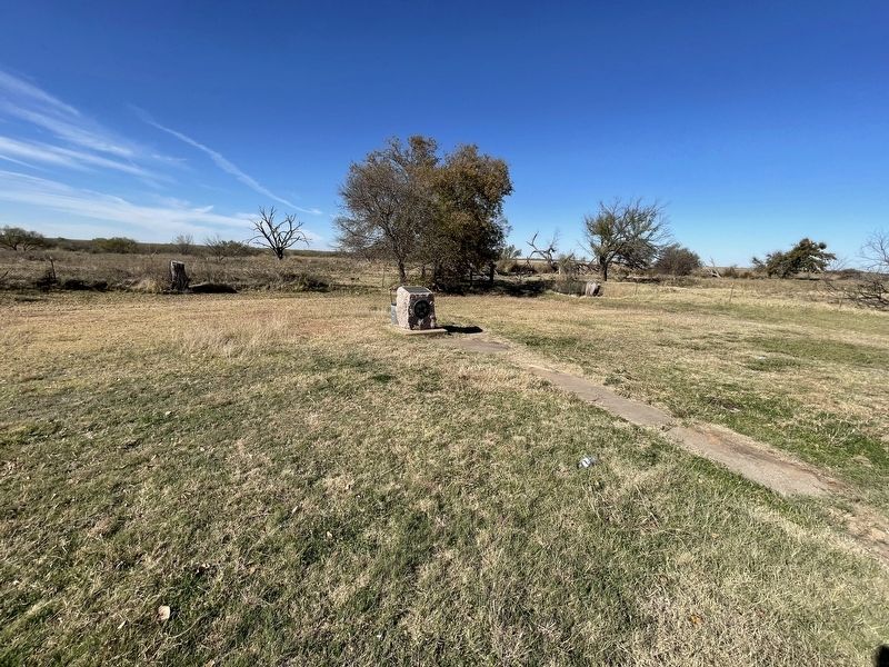
On State Highway 79 0.3 miles north of Sam Cowan Road, on the right when traveling south.
A part of the Peters Grant, 1841
Created January 22, 1858
Organized July 27, 1880
Named in honor of
Dr. Branch Tanner Archer
1790-1856
Texas Commissioner to the
United States, 1835, Member of
Congress, Secretary of War
of . . . — — Map (db m187144) HM
On State Highway 25 4.5 miles west of State Highway 79, on the right when traveling west.
The civilized world first heard of copper in this area from Texas Rangers after an 1860 campaign against Comanches on the Pease River, about 100 miles to the northwest. The Ranger Captain, Lawrence S. ("Sul") Ross, later to serve Texas as Governor, . . . — — Map (db m17912) HM
Near West Lake Jackson Road north of West Plantation Drive, on the right when traveling west.
President of the Consultation, 1835 · Texas Commissioner to the United States in 1835-1836 · Archer County was named in his honor · Born in Virginia, 1790 · · Died September 22, 1856 Grand Master of Masons in Texas December 25, 1838 to December . . . — — Map (db m172705) HM
On East Main Street (State Road 25) at N Center St (State Road 79), on the right when traveling west on East Main Street.
Archer County was given its name Jan. 22, 1858 by an act of the Texas Legislature in honor of Branch Tanner Archer's service in the Texas Republic. Archer was born in Virginia on Dec. 31, 1790, where he later studied medicine. He came to Texas to . . . — — Map (db m269326) HM
On State Highway 114 at 5th Street, on the right when traveling west on State Highway 114.
In 1910, thirty years after the Texas Legislature created Archer County, the Gulf, Texas & Western Railroad began extending its track from Jacksboro to Seymour. That year the Trinity Townsite Company laid out a new town along the tracks on land . . . — — Map (db m187149) HM
On Saint Marys Street at North Church Street on Saint Marys Street.
Gary was born on May 24, 1985 in Wichita Falls, Texas, to Angela and J.B. "Nubbin" Johnston. He has 2 sisters, Holly and Sabrina, and one nephew, Ethan Scott. He started school in Archer City where he played little league baseball, basketball and . . . — — Map (db m269253) WM
On South Main Street (Farm to Market Road 368) 0.1 miles south of Olive Street (Business U.S. 277), on the right when traveling south.
The town of Holliday was officially organized near Holliday Creek in 1890, when the city was platted. The Wichita Valley Railway was built through the area, and a post office was established. In that same year, Maggie Elizabeth Holt and H.W. . . . — — Map (db m128750) HM
On State Road 114 at Ranch to Market Road 1285, on the right when traveling east on State Road 114.
Residents of this part of Archer County in the 1880s included Ireland native James Colgan and his wife, Nancy. Most other area families were of Bohemian descent, with names including Kulhanek, Bohac, Kunkel and Pechacek. The GT&W Railroad came in . . . — — Map (db m254055) HM
On Walnut Avenue at 3rd Street (Farm to Market Road 927), on the left when traveling east on Walnut Avenue.
Indian fighter, lawman and rancher. Settled on the Palo Pinto County frontier, 1854. Led neighbors in defending homes during Indian raids.
In 1860 helped rescue Cynthia Ann Parker, who had been taken 24 years before by Comanches.
Captain . . . — — Map (db m194301) HM
On South Center Street (State Highway 79), on the right when traveling north.
M. P. Andrews No. 1, drilled in 1911, reached oil sands at 920 feet. Well first flowed oil, March, 1912, at rate of 10 barrels a day.
Production in this shallow sand development area fell off when oil prices dropped, but rose after other . . . — — Map (db m187139) HM
Thin black lines indicate changes in relevance. Between each pair of lines entries are ordered geographically but all have the same relevance.
* Inflectional forms of words are their plurals, singulars, and possessives as well as gramatical tenses and similar variations.