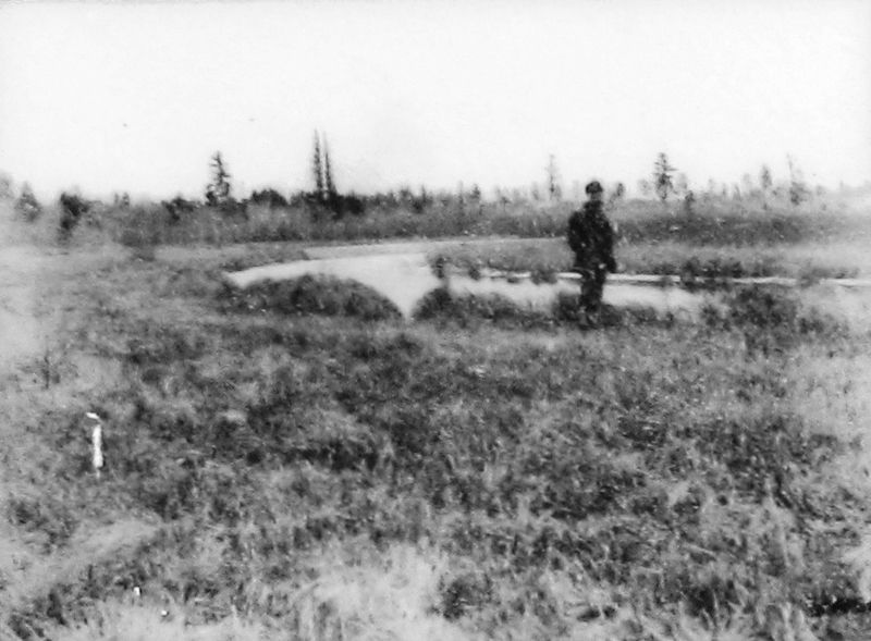
Near County Road 117 0.3 miles south of County Road 122.
Acquiring a Homestead David S. Patterson came to Itasca in 1889. Patterson made claim to 152 acres, which included the Headwaters of the Mississippi. He purchased the land in 1891 for $191. Patterson's cabin was north of McMullen's cabin near . . . — — Map (db m155671) HM
On America Avenue Northwest just north of 6th Street Northwest, on the right when traveling north.
Beltrami County was established by an act of the state legislature on Feb. 28, 1866. The new county extended from a line drawn west from Lake Itasca to a north/south line between Cass Lake and Lake Winnibigoshish. The northern border went through . . . — — Map (db m290685) HM
On Beltrami Avenue NW at 6th Street NW, on the right when traveling south on Beltrami Avenue NW.
Beltrami County was established by an act of the state legislature on February 28, 1866.
The first post office in the county was established in Red Lake in 1875.
The first homesteader in the county was Joachim Cyr at Little Turtle Lake in . . . — — Map (db m131652) HM
Near Waskish Beach Road N.E. west of Minnesota Highway 72.
Lumber companies began cutting white pine in the St. Croix area of east-central Minnesota in the 1830s. Over the next 100 years they kept moving northward, turning Minnesota's great pines (also spruce, fir and cedar) into the lumber used in the . . . — — Map (db m315540) HM
On Minnesota Avenue Southwest just south of 1st Street West, on the left when traveling south.
June 1911 Bemidji Commercial Club entertains Louis Hill, Governor Eberhart, and others at Markham Hotel for dinner and tours them around the Bemidji area hoping Hill will commission a new Great Northern Depot in Bemidji. April 24, 1912 . . . — — Map (db m235292) HM
On State Park Road Northeast, on the left when traveling north.
Beltrami Camp was built in 1942 by the Works Progress Administration. It was a popular gathering place for family reunions and civic groups. The only remaining building from the Beltrami Camp is the Dining Hall. Today it is still used by the Girl . . . — — Map (db m136149) HM
Near State Highway 72, on the left when traveling north.
An early 20th century attempt to drain the bog failed, but the old ditches still mark the invincible, yet fragile landscape.
Taking on the Bog
In 1889, the federal government appropriated almost three million acres of the Red Lake Indian . . . — — Map (db m191353) HM
On Atwood Avenue (Provincial Highway 11) at 4th Street, on the right when traveling west on Atwood Avenue.
The Great Fire Of 1910 started on October 4, 1910 in Williams, Minnesota and spread quickly throughout many Townships. On October 7, 1910 the fire reached Baudette, Minnesota. At this time the railroad and Rainy River citizens used railway . . . — — Map (db m254935) HM
Near Waskish Beach Road N.E. west of Minnesota Highway 72, on the right when traveling west.
River Routes
Our local rivers were used for transportation for centuries, first by Indians, later by white fur traders, explorers, trappers and hunters. From Red Lake, early travelers could canoe either to Lake Winnepeg via the . . . — — Map (db m272830) HM
Thin black lines indicate changes in relevance. Between each pair of lines entries are ordered geographically but all have the same relevance.
* Inflectional forms of words are their plurals, singulars, and possessives as well as gramatical tenses and similar variations.