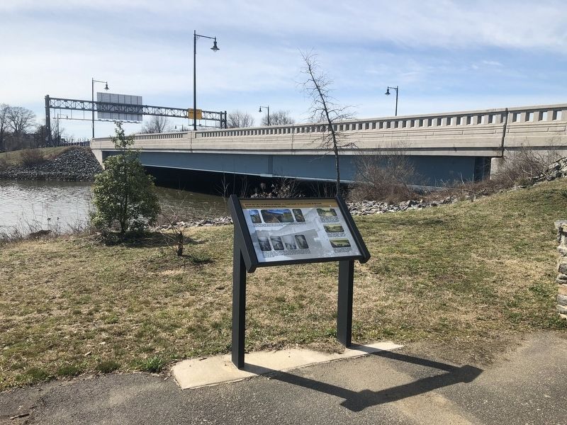
On North Park Drive at South Crescent Boulevard (U.S. 130), on the right when traveling east on North Park Drive.
A bridge crossing the Cooper River was built in 1928 on this location (Structure No. 0405-153) as part of the original park construction. The bridge was replaced in 2014 as part of the roadway improvements along Route 30/130. The design of the . . . — — Map (db m303484) HM
Near South Delaware Avenue south of Dr. Martin Luther King Boulevard, on the right when traveling south.
The connection between the USS New Jersey (BB-62) and the State of New Jersey goes far beyond just sharing a name. The longest battleship in the world, and the most decorated in our nation's history, was launched a few miles from this spot . . . — — Map (db m220931) HM
On Riverside Drive at Dr. Martin Luther King Boulevard, on the right when traveling south on Riverside Drive.
In honor of the 500th anniversary of Christopher Columbus' discovery of America, the County of Camden, dedicates this monument in remembrance of this significant event in world history — — Map (db m146670) HM
On Riverside Drive at Dr. Martin Luther King Boulevard, in the median on Riverside Drive.
Donated by the Bantivoglio Family to the City of Camden to memorialize the City for its deep roots in world-wide commerce and shipping.
The Bantivoglio Family owned and operated Camden Iron and Metal which was headquartered in Camden, NJ for . . . — — Map (db m146668) HM WM
On Dr. Martin Luther King Boulevard at Riverside Drive, in the median on Dr. Martin Luther King Boulevard.
Standing just a few blocks from here on Mickle St.(now MLK Blvd.) is the historic home of America's "Poet of Democracy," Walt Whitman. In 1873, after suffering a stroke, Whitman moved to Camden to live closer to his family. He purchased the only . . . — — Map (db m146669) HM
On Water Street at Pearl Street, on the right when traveling south on Water Street.
The Benjamin Franklin Bridge, originally named the Delaware River Bridge, opened on Jul 1, 1926, after four years of construction. Commuter rail service was added in 1936. At the time of completion, the Benjamin Franklin Bridge was the world's . . . — — Map (db m146412) HM
Near Aquarium Loop Drive west of Riverside Drive, on the right when traveling south.
Ferry service between Camden and Philadelphia began as early as 1688. By the 1870s, up to six separate ferries operated daily between Philadelphia and Camden. Several rail lines began and ended at the ferry terminals on both sides of the Delaware . . . — — Map (db m220916) HM
Near Water Street just south of Penn Street, on the right when traveling south.
Joseph Campbell and Abraham Anderson formed the Anderson and Campbell Preserve Company in 1869 in Camden, NJ which changed its name to Campbell & Company in 1896. In 1897, John Dorrance, a chemist working for Campbell & Company, developed a . . . — — Map (db m146413) HM
On North Park Drive 0.2 miles east of McClellan Avenue.
[Sign at entrance to the memorial:]
Camden County
Board of Freeholders
Welcomes you to
Veteran's Island
Camden County Park System
Dedicated to all Camden County Veterans for their honorable . . . — — Map (db m146689) WM
Exponent of the Business of Government. Distinguished Citizen-Educated in the Haddenfield Public Schools, Williams College, Harvard University-with an imposing record of the achievement as a Public Servant in his Community, State, and Nation. . . . — — Map (db m79615) HM
Near Water Street south of Penn Street, on the right when traveling south.
A Lasting Legacy
The Delaware River played a fundamental role in the development of Camden. Ferries to and from Philadelphia in the 1600s led to settlements along the river. By the 20th century, industrial uses dominated the waterfront, . . . — — Map (db m220915) HM
On Grove Street at Coles Mill Road, on the right when traveling north on Grove Street.
Pennypacker Trail
A Tribute to
James Lane Pennypacker
A Devoted Student and Interpreter of Nature
by
The Delaware Valley Naturalist Union
“The Passing Charm of Birds and Fragile Flowers
Again Upon the Pond-side Trail
Fulfillment of . . . — — Map (db m240341) HM
On White Horse Pike (U.S. 30) at Kings Highway, on the right when traveling north on White Horse Pike.
The Albertson Memorial Drinking Fountain first stood at this intersection in 1903 when it was erected by John J. Albertson in memory of his father, Chalkey Albertson (pronounced “Awl-bert-son). Practicing Quakers, the Albertsons were . . . — — Map (db m170801) HM
Near Station Avenue at S Park Avenue, on the right when traveling south.
Until the 1930's, a small body of water known as Crystal Lake graced the western end of Station Avenue in Haddon Heights. It was framed by North and South Park Avenues and served as the terminus (and namesake) for Lake Street. This lake was . . . — — Map (db m241390) HM
Until the 1930s, a small body of water known a Crystal Lake graced the western end of Station Avenue in Haddon Heights. It was framed by North and South Park Avenues and served as the terminus (and namesake) for Lake Street. This lake was created by . . . — — Map (db m79635) HM
On Cooper Street at Fourth Street, on the right when traveling east on Cooper Street.
John F. Gerry (1925 - 1995)
Judge, Camden County Court (1972-73);
Judge, Superior Court of New Jersey (1973-74);
Judge; United State District Court (1974-95);
Chief Judge, 1987-94
"I have a boundless admiration for . . . — — Map (db m220522) HM
On Fourth Street south of Cooper Street, on the right when traveling south.
This redevelopment site at the corner of N. Fourth and Cooper Streets was laid out as building lots in the 1770s. The photo below shows some of the residences that lined the south side of Cooper Street in the vicinity of this site.
This . . . — — Map (db m220516) HM
Near Kings Highway East at Washington Avenue, on the right when traveling east.
On November 24, 1777, the 20-year-old Marquis rode into Haddonfield hoping for a chance to lead men in battle; his chance came the next day.
The British Gain Control of the Delaware River
The British army marched into Philadelphia on . . . — — Map (db m311177) HM
On Atlantic Avenue Northwest just north of Evesham Road, on the right when traveling north. Reported unreadable.
The history of education in Camden County commences with the first permanent settlement. This was a settlement of a group of Irish Friends in the year 1682. They had fled from religious persecution in Dublin, Ireland and came to America. They . . . — — Map (db m146730) HM
On Cooper Street at North 3rd Street, on the right when traveling west on Cooper Street.
Cooper Street has been one of Camden's most important streets for over two centuries. Known in 1765 as the Middle Ferry Road, it became Cooper Street in 1773 when Jacob Cooper laid out the town in Camden. The street takes its name from the Cooper . . . — — Map (db m208376) HM
Thin black lines indicate changes in relevance. Between each pair of lines entries are ordered geographically but all have the same relevance.
* Inflectional forms of words are their plurals, singulars, and possessives as well as gramatical tenses and similar variations.