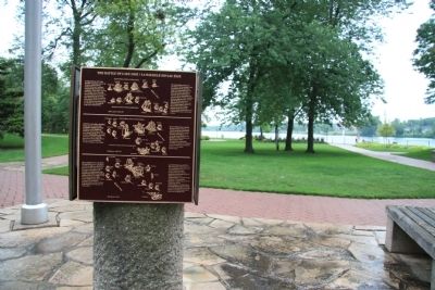
In September 1813 the British squadron under R. Barclay sailed from Amherstburg to collect desperately needed food supplies. They were met by the larger, more heavily armed American squadron commanded by O. Perry. The British had the initial . . . — — Map (db m37707) HM
[West Historic Marker]:Amherstburg Navy Yard
A Navy Yard was built here in 1796 to replace Detroit as the base and supply depot for the Provincial Marine on Lakes Erie and Huron. In 1812 the GENERAL HUNTER and QUEEN CHARLOTTE, built . . . — — Map (db m37552) HM
Erected
by
Jay Cooke
patriotic financier
of the Civil War
to mark the
corner stone of a
proposed monument
commemorating
Commodore Perry's
victory at the
Battle of Lake Erie
Sept 10 1813
"We have met the enemy
and . . . — — Map (db m35955) HM
On Bayview Avenue (Ohio Route 357) east of Catawba Avenue, on the left when traveling west.
Within this enclosure reposed for a century the remains of
Three American and three British officers killed in the Battle of
Lake Erie, September 10th, 1813. They were disinterred
September 11th, 1913, and re-interred in the crypt of Perry . . . — — Map (db m46808) HM
On County Road 51 at Harrison Street, on the right when traveling north on County Road 51.
This tablet marks the site of Fort Seneca built in July 1813 by Major General William Henry Harrison during the War of 1812 with Great Britain; and also marks the military road known as the "Harrison Trail" blazed through the forest in 1812 by . . . — — Map (db m21948) HM
Near West Lakeside Avenue near West 3rd Street, on the right when traveling west.
Dear General, We have met the enemy and they are ours. Two ships, two brigs, one schooner and one sloop.
British Naval cannon captured by Commodore Oliver Hazard Perry's fleet during the Battle of Lake Erie at Put In Bay, Ohio, September 10th . . . — — Map (db m18039) HM
On West Front Street at Plum Street, on the right when traveling west on West Front Street.
Cascade Creek is the last of Erie's three original creeks. Its western location saved it from being completely compromised by urbanization. Cascade Creek flows along the bayfront parkway and into a delta behind the western dock. In 1813, Daniel . . . — — Map (db m21425) HM
On West 2nd Street at Cascade Street, on the left when traveling west on West 2nd Street.
The Lawrence and Niagara, Flagships of
Commodore Perry,
in the Battle of Lake Erie, Sep. 10, 1813, were built on the bay front, 100 yards north of this spot, early in the same year. — — Map (db m21424) HM
On West Front Street, 0 miles west of Sassafras Street, on the right when traveling west.
The Ariel, Porcupine,
Scorpion and Tigress,
gunboats of
Commodore Perry,
in the Battle of Lake Erie, Sep. 10, 1813,
were built on the bay front, 100 yards north
of this spot, early in the same year. — — Map (db m21426) HM
On State Street at Dobbins Landing, in the median on State Street.
Erie merchant mariner, naval officer, born in Mifflin County. Captured by the British during the War of 1812, Dobbins escaped, went to Washington to report the fall of Forts Mackinac and Detroit. Appointed a sailing master in the US Navy, he . . . — — Map (db m21040) HM
These skilled seamen were among those who enabled Oliver Hazard Perry to defeat & capture a British Squadron, Sept. 10, 1813. Their participation - critical to victory - secured a place for African Americans in the region's history. — — Map (db m21048) HM
Restored flagship of Capt. Oliver Hazard Perry in the Battle of Lake Erie, Sept. 10, 1813. Administered by the Pennsylvania Historical and Museum Commission. — — Map (db m226787) HM
On Niagara Street (New York State Route 266) 0.1 miles south of Tonawanda Street (New York State Route 265), on the right when traveling south. Reported missing.
Five vessels of Commodore Perry's fleet were reconditioned on south bank at mouth of Scajaquada Creek. — — Map (db m44552) HM