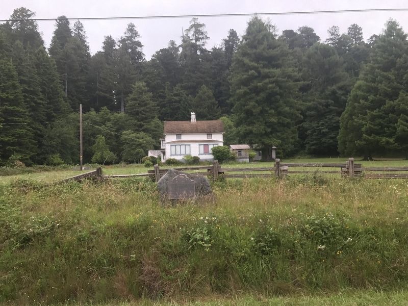
On Kings Valley Road 0.3 miles north of S. Kraft Road, on the right when traveling north.
A United States military post was established here September 12, 1862 by the men of Company G, 2nd Regiment, Infantry, California Volunteers, to keep peace between the Indians and the miners and settlers of northwestern California. It was abandoned . . . — — Map (db m176820) HM
On Elk Valley Road at Parkway Drive, on the right when traveling north on Elk Valley Road.
Constructed in 1858, this was the route of the Crescent City Turnpike. Following the present Elk Valley Road to Old Camp Lincoln, it then crossed the ridge, forded Smith River to low divide, and continued to Jacksonville, Oregon, by way of various . . . — — Map (db m176819) HM
On North Pebble Beach Drive 0.1 miles south of Pacific Avenue, on the right when traveling south.
At the time of white contact the principal villages of the native Tolowa Indians of northern Del Norte County were located at Battery Point in Crescent City (Ta'atun), Pebble Beach (Meslteltun), south of Point St. George (Tatintun), and north of . . . — — Map (db m164583) HM
On South Pebble Beach Drive, on the right when traveling north.
This memorial is dedicated to those who lost their lives in the wreck of the Pacific Mail Steamer, Brother Jonathan, at point St. George's Reef, July 30, 1865. — — Map (db m76459) HM
On Terwer Riffle Road at Trinity Way, in the median on Terwer Riffle Road.
Site of Fort Terwer, United States military
post established October 12, 1857, by First
Lieutenant George Crook and men of
Company D to keep peace between the Indians
and whites. The fort was destroyed by a flood.
in December, 1861, and . . . — — Map (db m240409) HM
Near South Bridge Street just north of West Fifth Street, on the right when traveling north.
Dedicated on the Pilgrimage to ‘Mucca on 3 Rabia I, 1380 A.H. (Mohammedan Calendar). Brought by caravan from the sea at Crescent City, California, to dedicate the opening of the new trade route from Winnemucca to the sea and to affirm the . . . — — Map (db m170925) HM
On Newton B Drury Scenic Parkway 2 miles north of U.S. 101, on the right when traveling north.
First conceived in 1909, the Redwood Highway
extends from San Francisco's Golden Gate to
Grants Pass, Oregon. The original route passed
through nearly two million acres of the world's
tallest forests, ancestral Indian lands, and dozens . . . — — Map (db m182941) HM
On K Street at 2nd Street, on the right when traveling south on K Street.
Thirty-seven tsunamis have been observed or recorded on the North Coast since
the first tide gauge was installed in Crescent City in 1933. All but five were tele-tsunamis (the source was far away). Crescent City, known as "Tsunami Central,” has . . . — — Map (db m183655) HM
Thin black lines indicate changes in relevance. Between each pair of lines entries are ordered geographically but all have the same relevance.
* Inflectional forms of words are their plurals, singulars, and possessives as well as gramatical tenses and similar variations.