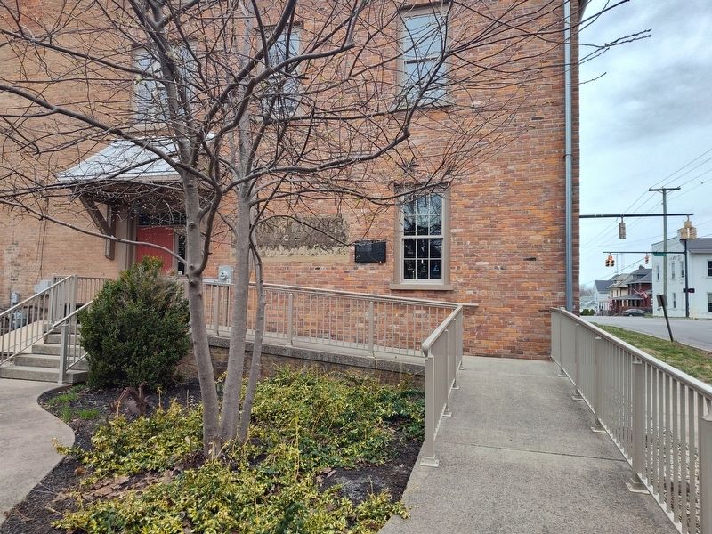
On South East Street at East Main Street, on the right when traveling south on South East Street.
Tracing the beginning of education in any area can be challenging and Highland County is no different. The Land Ordinance of 1785 was the first document to address public education; and the statute which governed the Northwest Territory, The . . . — — Map (db m268405) HM
On Washington Street at Grant Ct., on the left when traveling west on Washington Street.
Governor Charles Willing Byrd
was the son of Colonel William Byrd of
Virginia. In 1792 President John Adams
appointed him secretary of the Northwest
Territory and in 1802 he became acting
governor of the territory. He was a
delegate to the . . . — — Map (db m121877) HM
Near West Center Avenue at Circle Park Drive when traveling east.
Founded 1912 in old Desoto County by George E. Sebring and his son, H. Orvel Sebring, of Ohio. That year saw the first railroad and early citrus plantings. In 1921 Highlands County was formed with Sebring as County Seat. The founders devoted their . . . — — Map (db m160795) HM
On South McArthur Street at Mirabeau Street, on the right when traveling north on South McArthur Street.
The cemetery's four acres on the west bank of Paint Creek were given by Duncan McArthur when he founded Greenfield in 1799 and are the final resting place for approximately 900 burials.
In 1821 a stone meeting house stood to the north of the . . . — — Map (db m298926) HM
On North High Street (U.S. 62) north of West Main Street (U.S. 50), on the right when traveling south.
In recognition of the patriotism of the people of Highland County who oversubscribed their war savings quota in 1918 this tablet is gratefully erected by the Ohio War Savings Committee — — Map (db m221617) HM
On Gist Settlement Road (County Route 291) at Rollins Lane (County Route 430), on the left when traveling south on Gist Settlement Road.
Through the terms of his will, British absentee landowner Samuel Gist (c.1723-1815) freed his 350 Virginia slaves and provided funds for their relocation, the purchase of land and homes, and the establishment of schools and churches. Gist's . . . — — Map (db m272720) HM
On Wahlsburg East Road (County Route 81) east of South High Street (U.S. 68), on the right when traveling east.
Gist Settlement. Scott Township. Through the terms of his will, absentee British landowner Samuel Gist freed his 350 slaves in Virginia. Gist (c.1723-1815) intended that these freed people would remain on the land and receive . . . — — Map (db m272721) HM
On Barrett Mill Road (County Road 1) 0.3 miles west of Ferneau Road (County Road 259), on the right when traveling east.
Welcome
Welcome to Miller Nature Sanctuary
Over millions of years, this land was shaped by flowing water and glaciers, creating the natural arches, slump blocks, and waterfalls which make Miller Nature Sanctuary a fascinating and unique . . . — — Map (db m246407) HM
On East 11th Avenue at Essex Avenue, on the right when traveling west on East 11th Avenue.
Sometime during the Permian Period, about 280 million years ago, an object, likely an asteroid or meteor; struck southwestern Ohio and exploded, releasing the energy of hundreds of nuclear bombs. Impacting the area where Pike, Adams, and Highland . . . — — Map (db m282464) HM
On Mansfield Drive (U.S. 250) at North Main Street (U.S. 250), on the right when traveling east on Mansfield Drive. Reported permanently removed.
Col. Benjamin F. Kelley
Kelley, a railroad agent in Philadelphia and former resident of Wheeling, was called back to command the First Virginia (Union) Infantry--the first Union regiment raised in the South. He planned and led the attack on . . . — — Map (db m308160) HM
On Sherrill Avenue at Brewer and Malterer Avenues on Sherrill Avenue.
Named in memory of
Brigadier General
Henry H.C. Dunwoody
1842-1933.
General Dunwoody was Chief Signal Officer in Cuba from 22 Dec 1898-24 May 1901. Under his leadership, the United States Army Signal Corps reconstructed, extended, and . . . — — Map (db m6614) HM WM
On North High Street at West Main Street (Ohio Route 73), on the left when traveling north on North High Street.
In honor of the Revolutionary soldiers buried in Highland County, Ohio.
Samuel Adkins • James Anderson • Benjamin Arthur • Azor Bagley • John Beard • Andrew Beatty • William Bell • Thomas Bernard • William Boatman • Thomas Brady • Daniel . . . — — Map (db m235377) WM
Soldier in Capt. William Logan's company, 2nd Regiment, Volunteers, Texas War for Independence, 1836.
Born in Highland County, Ohio, came to Texas with his father, Aaron Cherry, 1818. Settled near a Coushatta Indian village. In 1838 by . . . — — Map (db m179185) HM
On North High Street (U.S. 62) at Trimble Place, on the right when traveling south on North High Street.
To the memory of the
Soldiers and Sailors
of
Highland County, Ohio
who served in the
Union Army
during the War of the Rebellion — — Map (db m166055) WM
On Careytown Road (County Route 10) 0.4 miles south of Powell Road.
The History of Fallsville
Fallsville Wildlife Area is named after Fallsville, Ohio, a short-lived small town in Highland County. Fallsville was settled in the mid- 1820s by the Clouser family of North Carolina, who built a grist mill at the . . . — — Map (db m274443) HM
On East Grove Street at South McLean Street, on the right when traveling east on East Grove Street.
421 E. Grove St.
John and Caroline
Roush House
Italianate Architectural
Style, 1870
Built on a Joliet stone foundation with local brick for
John Roush, a wholesale grocer. The Neo-classical porch was
added in 1907. The house . . . — — Map (db m183815) HM
On Campbellsville Bypass (Kentucky Route 210) north of Plantation Drive, on the left when traveling north.
Great Raid
July 4, 1863
Araminta Hiestand Chandler and her husband, Joseph Harrison Chandler, were living in this house, located a mile from Campbellsville on the Old Greensburg Road, during the Civil War.
Joseph H. Chandler was . . . — — Map (db m99301) HM
On Five Points-Fincastle Road (County Road 82) 0.2 miles west of James A Rhodes Appalachian Highway (State Route 32), on the right when traveling east.
Gist Settlement
Through the terms of his will. British absentee landowner Samuel Gist (c. 1723-1815) freed his 350 Virginia slaves and provided funds for their relocation. the purchase of land, and the establishment of schools and homes. The . . . — — Map (db m272722) HM
1796
Duncan McArthur leads surveying
party to Greenfield.
Washington elected president
1799
McArthur lays out town of
Greenfield. First road
to town completed.
1801
First inn and first
Justice of Peace.
Ferry . . . — — Map (db m60893) HM
Thin black lines indicate changes in relevance. Between each pair of lines entries are ordered geographically but all have the same relevance.
* Inflectional forms of words are their plurals, singulars, and possessives as well as gramatical tenses and similar variations.