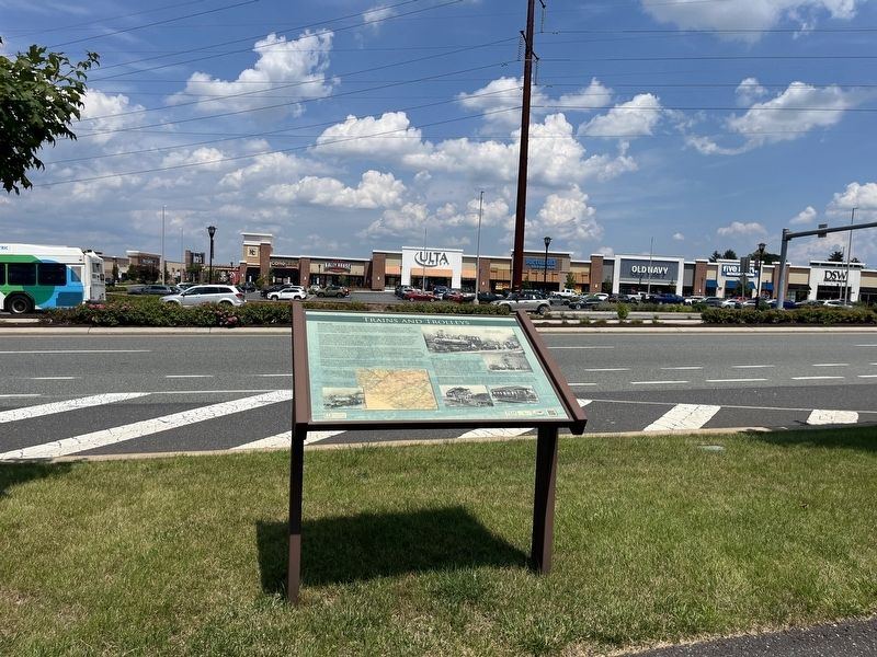
On North Krocks Road 0.1 miles Fred Jaindl Memorial Highway (U.S. 222), on the right when traveling south.
Railroads
Railroads came early to the Lehigh Valley for only one reason: anthracite coal. For iron to be smelted productively in the modern furnaces of the 1840s on, enormous amounts of coal needed to be brought to the furnaces. The ore . . . — — Map (db m252229) HM
On Hugh Moore Park Road 0.2 miles south of Hill Road, on the left when traveling south.
Five furnaces were in operation in 1854 when this image of the Lehigh Crane Iron Company was made, together producing an average of 750 tons of pig ron a week. These were the first commercially and technically successful anthracite-fired iron . . . — — Map (db m157376) HM
Near Lehigh Avenue (U.S. 209) at Lehigh Gorge Trail.
"Since most of the land was donated to the railroads by the American public in the first place, we believe it should be returned to the public." David Burwell, President, Rails-to-Trails Conservancy, 1988 A Well-Worn Path The path you . . . — — Map (db m153536) HM
Near Rockport Road 1 mile east of South Lehigh Gorge Drive.
"Since most of the land was donated to the railroads by the American public in the first place, we believe it should be returned to the public." David Burwell, President, Rails-to-Trails Conservancy, 1988 A Well-Worn Path The . . . — — Map (db m225717) HM
On Woodlawn Avenue 1.2 miles south of Church Street, on the left when traveling south.
"Since most of the land was donated to the railroads by the American public in the first place, we believe it should be returned to the public." David Burwell, President, Rails-to-Trails Conservancy, 1988 A Well-Worn Path The path you . . . — — Map (db m289330) HM
On North Krocks Road 0.1 miles south of Fred Jaindl Memorial Highway (U.S. 222), on the right when traveling north.
Barns in this area, with their distinctive decorations, are widely admired. Nowhere else can you find as many fine barns of the type known as "Pennsylvania standard" barns. Their signature features are symmetrical rooflines and a forebay that . . . — — Map (db m252166) HM
Near Hamilton Boulevard east of North Krocks Road, on the right when traveling west.
William Penn's 1681 charter from King Charles II of England authorized Penn to create counties and towns or townships in Pennsylvania. Philadelphia, Bucks, and Chester, all created in 1682, were the first three counties. If you were standing on . . . — — Map (db m252211) HM
Easton is situated at the confluence of the Lehigh and Delaware Rivers. Founded in the early 1750s, it became an important river community and transportation junction. Opened by 1834, the Lehigh, Morris, and Delaware Canal systems carried . . . — — Map (db m109572) HM
On D&L Trail - Lehigh Canal (North) 0.1 miles north of Bridge Street, on the left when traveling north.
Community landscapes can reveal our past. This part of the Delaware & Lehigh National Heritage Corridor has a lot of stories to tell. You'll see distinctive types of towns. Traditional market towns formed as crossroads commercial centers, . . . — — Map (db m252050) HM
Near North Krocks Road south of Fred Jaindl Memorial Highway (U.S. 222), on the right when traveling north.
Jasper
Mining and quarrying have been important activities in the Macungie area for many hundreds of years. The first rock to be extracted from the ground to be used by humans was jasper, which the Lenape Indians used for their tools and . . . — — Map (db m252185) HM
On Sgt Stanley Hoffman Boulevard (U.S. 209) at North Main Lane, on the right when traveling north on Sgt Stanley Hoffman Boulevard.
"Since most of the land was donated to the railroads by the American public in the first place, we believe it should be returned to the public."
David Burwell, President,
Rails-to-Trails Conservancy, 1988
A Well-Worn . . . — — Map (db m116342) HM
Entrepreneur Asa Parker founded the Lehigh Valley Railroad (LVRR) in 1853 to more efficiently transport anthracite coal to market. A freight and passenger station was constructed on this site in 1862. The LVRR Slatedale Branch opened in 1870 for the . . . — — Map (db m85695) HM
Near Sullivan Trail (Pennsylvania Route 191) 0.1 miles south of Bangor Road ( Route 191), on the left when traveling south.
"Since most of the land was donated to the railroads by the American public
in the first place, we believe it should be returned to the public."
David Burwell, President,
Rails-to-Trails Conservancy, 1988
A Well-Worn Path The . . . — — Map (db m268094) HM
On River Drive (Pennsylvania Route 145) at River Street, on the right when traveling north on River Drive.
"Since most of the land was donated
to the railroads by the American public
in the first place, we believe it should
be returned to the public."
David Burwell, President,
Rails-to-Trails Conservancy, 1988
A . . . — — Map (db m124049) HM
On West Market Street (Pennsylvania Route 25) west of North Center Street, on the right when traveling west.
Site of original log house--
Early Settler in Gratztown 1816-
Skilled Gunsmith 1796-1837-
Veteran of the War of 1812
Justice of the Peace 1818-1837
His Pennsylvania Kentucky rifles found
in Museums and private collections
Craftsmanship is . . . — — Map (db m218083) HM
On Hamilton Street at South 7th Street, in the median on Hamilton Street.
"This column commemorates the valor and patriotism of the soldiers and sailors of the county of Lehigh in the War of 1861-1865." Dedicated October 19, 1899.
Restored and rededicated to the Lehigh County veterans of all wars, of the United . . . — — Map (db m157481) HM WM
Near Mosser Road, on the right when traveling north.
The Valley Preferred Cycling Center, the most celebrated velodrome in modern American cycling history, traces its roots to the dream of one inspired visionary and its legendary success to the dreams of countless champions who began their trek to . . . — — Map (db m59294) HM
Near Poplar Street at S. Front Street, on the left when traveling east.
The only historic document that gives us a clue that a long-gone outbuilding once stood here is a map of the George Taylor property in the 1876 New Illustrated Atlas of Lehigh County, Pennsylvania. No living person can recall it, but its . . . — — Map (db m308035) HM
Near Schoenersville Road 0.2 miles east of Eaton Avenue, on the right when traveling east.
“The philosophy of farming has left the lasting and profound mark on our national landscape and it has made an enduring cradle for the things we now accept as Americana. America will always cherish the arts of farm life as mirrored . . . — — Map (db m258688) HM
On North Krocks Road just south of Fred Jaindl Memorial Highway (U.S. 222), on the right when traveling north.
Like any community with a long history, the Macungie area has changed a great deal over the years. By the end of the 1700s a few small businesses and industries had started. Some, such as mills, tanneries, harness shops and blacksmiths, provided . . . — — Map (db m252206) HM
Thin black lines indicate changes in relevance. Between each pair of lines entries are ordered geographically but all have the same relevance.
* Inflectional forms of words are their plurals, singulars, and possessives as well as gramatical tenses and similar variations.