20 entries match your criteria.
Related Historical Markers
To better understand the relationship, study each marker in the order shown.
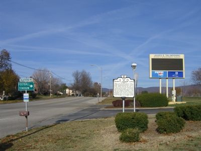
By Kevin W., November 24, 2007
General Andrew Lewis Marker
SHOWN IN SOURCE-SPECIFIED ORDER
| On Roanoke Blvd at Taliaferro Way, on the right when traveling north on Roanoke Blvd. |
| Near East Northern Street. |
| On E. Main Street (U.S. 460) at Park Avenue, on the right when traveling east on E. Main Street. |
| On West Virginia Route 80 0 miles south of U.S. 52, on the left when traveling north. |
| On Courtney Drive at Washington Street (U.S. 60) on Courtney Drive. |
| On Charleston Road (West Virginia Route 62) south of A Street (Local Road 35/11). |
| On Main Street 0 miles 1st Street, on the right when traveling south. |
| On Main Street 0 miles west of 1st Street, on the right when traveling south. |
| On Main Street 0.1 miles 1st Street, on the right when traveling south. |
| On Main Street 0 miles west of 1st Street, on the right when traveling south. |
| On Locust Street at 1st Avenue, on the right when traveling north on Locust Street. |
| On Canal Street (U.S. 33) at Pine Grove Drive, on the right when traveling east on Canal Street. Reported permanently removed. |
| On Ohio Route 56 0.5 miles north of Route 159, on the right when traveling north. |
| Near Ohio Route 56 0.5 miles north of Route 159, on the right when traveling north. |
| On Ohio Route 361 at Wolfe Road on Ohio Route 361. |
| On Emerson Road (Local Highway 48) 0.4 miles east of U.S. 23, on the right when traveling east. |
Nov. 11, 2026
