7 entries match your criteria.
Related Historical Markers
To better understand the relationship, study each marker in the order shown.
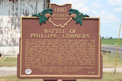
By Dale K. Benington, July 20, 2009
Battle of Phillips Corners Marker
SHOWN IN SOURCE-SPECIFIED ORDER
| On Ohio Route 109 at Route 120, on the left when traveling north on Ohio Route 109. |
| On South Dixie Highway 0.1 miles north of East Temperance Road, on the right when traveling south. Reported missing. |
| On East First Street at Washington Street on East First Street. |
| On Edgewater Drive at Lost Peninsula Marina Drive, on the right when traveling north on Edgewater Drive. |
| On Jackson Road at North Huron Street, in the median on Jackson Road. |
| On Adams Street at North Erie Street, on the right when traveling west on Adams Street. Reported missing. |
| On Erie Road at South Dixie Highway (Michigan Route 125), on the right when traveling east on Erie Road. |
Nov. 13, 2026
