17 entries match your criteria.
Related Historical Markers
First Manassas Markers around Mansasas (town)
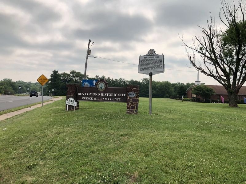
By Devry Becker Jones (CC0), July 5, 2020
Ben Lomond Farm Marker
SHOWN IN SOURCE-SPECIFIED ORDER
| On Sudley Manor Drive east of Sudley Road (Virginia Route 234), on the right when traveling east. |
| On Sudley Manor Drive at Copeland Drive, on the right when traveling east on Sudley Manor Drive. |
| On Sudley Manor Drive at Copeland Drive, on the right when traveling east on Sudley Manor Drive. |
| On Centreville Road (Virginia Route 28) at Yorkshire Lane, on the right when traveling south on Centreville Road. Reported permanently removed. |
| On Centreville Road (Virginia Route 28), on the right when traveling south. |
| On Centreville Road (Virginia Route 28), on the right when traveling south. Reported permanently removed. |
| On Centreville Road (Virginia Route 28), on the right when traveling south. |
| On Signal View Drive. Reported permanently removed. |
| On Main Street, on the right when traveling south. |
| On Quarry Road at Centerville Road ( Route 28), on the right when traveling east on Quarry Road. Reported permanently removed. |
| On Battle Street south of Center Street, on the right when traveling south. Reported permanently removed. |
| Near Prince William Street at Main Street, on the right when traveling west. Reported permanently removed. |
| On Prince William Street near Main Street, on the right when traveling east. |
| On West Street south of Center Street, on the left when traveling south. |
| On West Street at the railroad tracks, on the right when traveling south on West Street. |
Nov. 10, 2026
