By Brandon D Cross
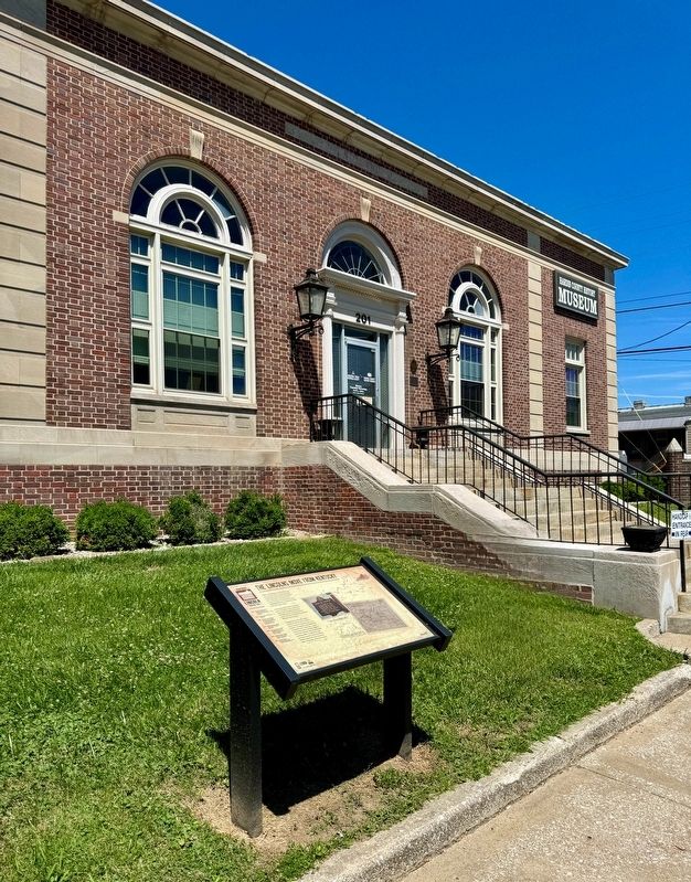
The Lincolns Move From Kentucky Marker
RANKED BY RELEVANCE
| On W Dixie Avenue at N. Mulberry Street (U.S. 62), on the left when traveling east on W Dixie Avenue. |
| On W Dixie Avenue at N. Mulberry Street (U.S. 62), on the left when traveling east on W Dixie Avenue. |
| On West Main Street (Kentucky Route 144) just east of Church Street ( Route 391), on the right when traveling west. |
| Near South College Street (U.S. 127) at West Lexington Street, on the right when traveling south. |
| On Park Road 0.3 miles west of Battlefield Road ( Route 1920), on the right when traveling west. |
| On East River Road at E Witherspoon Street, on the right when traveling east on East River Road. |
| Near South College Street (U.S. 127) at West Lexington Street, on the right when traveling south. |
| Near Beechland Road (Kentucky Route 438) at Lincoln Park Road ( Route 528), on the left when traveling east. |
| Near Beechland Road (Kentucky Route 438) at Lincoln Park Road ( Route 528), on the left when traveling east. |
| On Lincoln Park Road (Kentucky Route 528) south of Fairlane Drive, on the left when traveling south. |
| Near Beechland Road (Kentucky Route 438) at Lincoln Park Road ( Route 528), on the left when traveling east. |
| Near Beechland Road (Kentucky Route 438) at Lincoln Park Road ( Route 528), on the left when traveling east. |
| Near Beechland Road (Kentucky Route 438) near Lincoln Park Road ( Route 528), on the left when traveling east. |
| Near Beechland Road (Kentucky Route 438) at Lincoln Park Road ( Route 528), on the left when traveling east. |
| On Park Road 0.3 miles west of Battlefield Road ( Route 1920), on the right when traveling west. |
| Near Park Road 0.3 miles west of Battlefield Road ( Route 1920). |
| On State Road 144, on the right when traveling west. |
| Near Sycamore Road near Fincastle Road. |
| Near Farmington Access Road. |
| Near Farmington Access Road. |
| Near Danville Road Loop 2 0.4 miles south of Fitch Road. |
| Near Danville Road Loop 2 0.4 miles south of Fitch Road. |
| On Lincoln Blvd (Kentucky Route 210) north of West Main Street ( Route 2426), on the left when traveling south. |
| Near Bardstown Road (U.S. 31E) north of White City Road ( Route 470), on the left when traveling north. |
| Near Bardstown Road (U.S. 31E) north of White City Road ( Route 470), on the left when traveling north. |
| Near White Hall Shrine Road (Kentucky Route 3055) 0.4 miles south of Fox Town Road. |
| Near White Hall Shrine Road (Kentucky Route 3055) 0.4 miles south of Fox Town Road. |
| Near Union Square W near E 17th Street, on the left when traveling south. Reported permanently removed. |
| On North Lincoln Boulevard at Lincoln Square (U.S. 31E), on the right when traveling south on North Lincoln Boulevard. |
| On Union Square West at East 16th Street, on the right when traveling north on Union Square West. |
Thin black lines indicate changes in relevance. Between each pair of lines entries are ordered geographically but all have the same relevance.* Inflectional forms of words are their plurals, singulars, and possessives as well as gramatical tenses and similar variations.
Nov. 19, 2026

