17 entries match your criteria.
Historical Markers and War Memorials in Corbridge, England
By Michael Herrick, August 17, 2018
Corbridge Marker
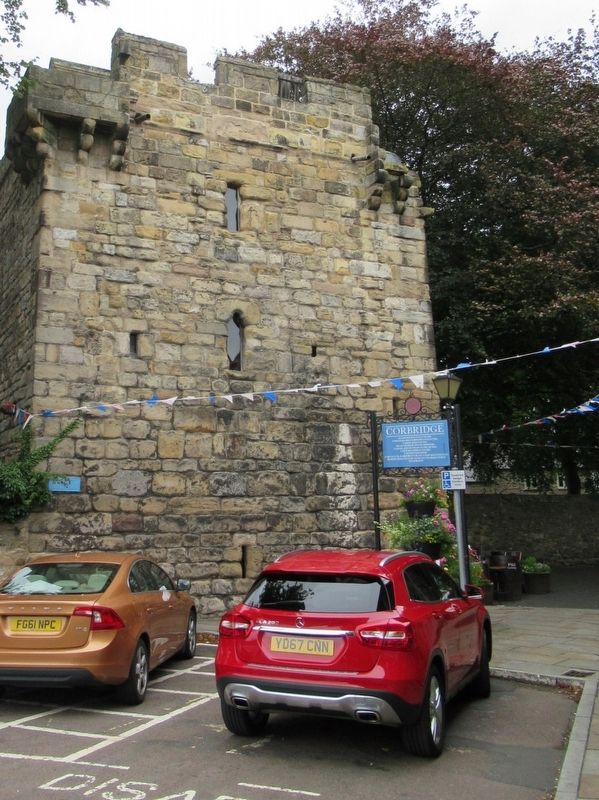
| On Middle Street at Market Place, on the right when traveling north on Middle Street. |
| Near Corchester Lane, 0.8 kilometers west of Stagshaw Road, on the left when traveling west. |
| On St Helen's Street at Watling Street, on the left when traveling east on St Helen's Street. |
| On Middle Street at Market Place, on the right when traveling north on Middle Street. |
| Near Corchester Lane, 0.8 kilometers west of Stagshaw Road, on the left when traveling west. |
| Near Corchester Lane, 0.8 kilometers west of Stagshaw Road, on the left when traveling west. |
| Near Corchester Lane, 0.8 kilometers west of Stagshaw Road, on the left when traveling west. |
| Near Corchester Lane, 0.8 kilometers west of Stagshaw Road, on the left when traveling west. |
| On Hill Street at Princes Street, on the left when traveling east on Hill Street. |
| On Corchester Lane, 0.8 kilometers west of Stagshaw Road, on the left when traveling west. |
| On Watling Street at Hill Street, on the left when traveling south on Watling Street. |
| Near Corchester Lane, 0.8 kilometers west of Stagshaw Road, on the left when traveling west. |
| Near Middle Street close to Market Place, on the right when traveling north. |
| Near Corchester Lane at Stagshaw Road, on the left when traveling west. |
| Near Corchester Lane, 0.8 kilometers west of Stagshaw Road, on the left when traveling west. |
| Near Corchester Lane, 0.8 kilometers west of Stagshaw Road, on the left when traveling west. |
| On Middle Street at Market Place, on the right when traveling north on Middle Street. |
May. 31, 2024