10 entries match your criteria.
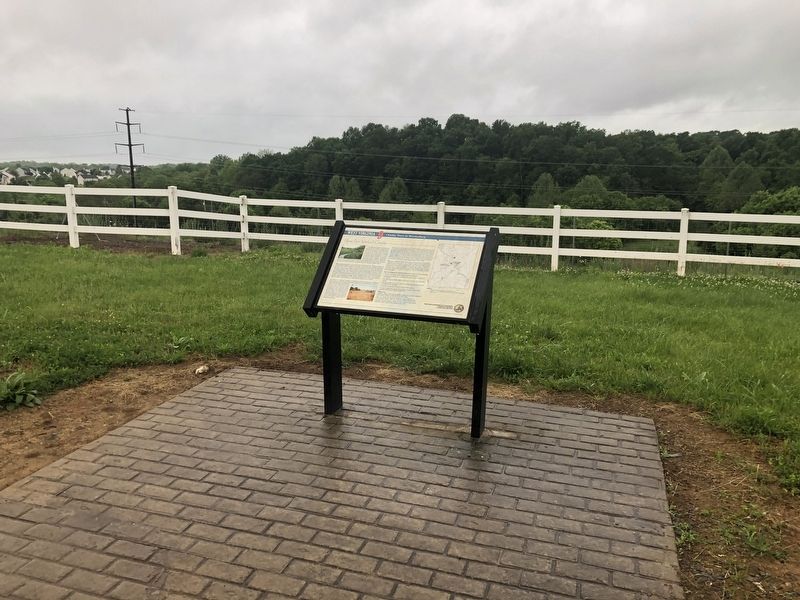
West Virginia 9 Historical Markers This series is a set of markers along the bike trail that follows along Route 9 in West Virginia's Eastern Panhandle between Charles Town and Martinsburg.
By Devry Becker Jones (CC0), May 28, 2020
Shaw Run Wetland Complex Marker
GEOGRAPHIC SORT Title Sort Marker Number Sort Marker Number Sort for Trails Publication Order Sort Publication Order Sort A Erected Year Sort Most Viewed Sort Most Recent-Interest Sort Most Recently Changed Sort SEE FAQ #33 FOR DESCRIPTIONS
On Route 9 Bike Path 0.2 miles south of Short Road (County Road 36/1), on the right when traveling south.
On Route 9 Bike Path south of Short Road (County Route 9/19), on the right when traveling north.
On Charles Town Road (West Virginia Route 9) east of Variform Drive (County Route 9/14). Reported unreadable.
On Route 9 Bike Path 0.8 miles north of Currie Road, on the right when traveling north.
On Route 9 Bike Path 0.2 miles north of Leetown Road (County Road 1), on the right when traveling north.
On Route 9 Bike Path 0.7 miles north of Leetown Road (County Road 1), on the right when traveling south.
On Route 9 Bike Path 0.4 miles south of Luther Jones Road (County Road 16/4), on the right when traveling north.
On Route 9 Bike Path at Charles Town Road ( Route 115), on the left when traveling north on Route 9 Bike Path.
On Route 9 Bike Path just east of Charles Town Road ( Route 115), on the left when traveling east.
On Charles Town Road (County Route 115/5) south of Luther Jones Road (County Route 16/4), on the right when traveling south.
︽
Nov. 13, 2026