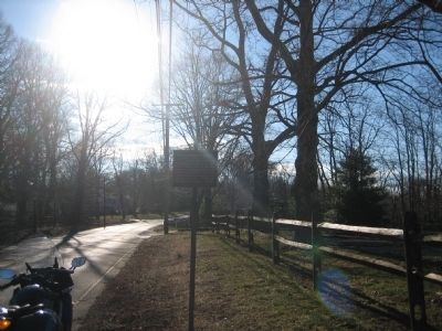
On King's Highway East, on the right when traveling west.
Seeking the Protection of Middletown's hills on the 29th of June 1778, the day after the Battle of Monmouth, the Main British Army under Gen. Sir Henry Clinton withdrew along this road toward Sandy Hook, whence they embarked for New York a week . . . — — Map (db m116869) HM
On King’s Highway East at Chapel Hill Road on King’s Highway East.
For a week following the Battle of Monmouth, the main British army under Gen. Sir Henry Clinton spread its encampment both side of this road while awaiting transport from Sandy Hook. They embarked for New York July 5, 1778. — — Map (db m5842) HM
On Monmouth Avenue at Sears Avenue on Monmouth Avenue.
Middletown Township Historic District. Summer camping ground of the Indians on their Minisink Trail, which became part of the King’s Highway. Location of the Burge’s Mill in Colonial Times; British campsite after the Battle of Monmouth. A . . . — — Map (db m116864) HM
On Monmouth Avenue at Navesink Avenue on Monmouth Avenue.
For a week following the Battle of Monmouth, the main British Army under Gen. Sir Henry Clinton spread its encampment both sides of this road while awaiting transport from Sandy Hook. They embarked for New York July 5, 1778. — — Map (db m5806) HM
On Navesink Avenue (County Route 8B) near Woodhaven Lane, on the right when traveling north.
For a week following the Battle of Monmouth, the main British Army under Gen. Sir Henry Clinton spread its encampment both sides of this road while awaiting transport from Sandy Hook. They embarked for New York July 5, 1778. — — Map (db m5804) HM
On Kings Highway at Brandywine Way, on the right when traveling east on Kings Highway.
Oldest settlement in New Jersey, the old Indian village of Chaquasitt. Settled 1613 by the Dutch; English land claim recorded in 1664. Haven for Captain Kidd's pirates. Scene of conflict between the Tories and Patriots; Clinton and Cornwallis met . . . — — Map (db m116860) HM
On Kings Highway, on the right when traveling west.
Oldest settlement in New Jersey, the old Indian village of Chaquasitt. Settled 1613 by the Dutch; English land claim recorded in 1664. Haven for Captain Kidd's pirates. Scene of conflict between the Tories and Patriots; Clinton and Cornwallis met . . . — — Map (db m116852) HM
On Locust Point Road at Lakeside Avenue, on the right when traveling east on Locust Point Road.
Settled circa 1715 by David Burdge of Hempstead, L.I. Significant as an early farming and fishing village, and center of local oyster trade to New York in the 19th c. Steamboats brought visitors as Locust evolved into an important estate area in the . . . — — Map (db m116866) HM
On King’s Highway East at Chapel Hill Road on King’s Highway East.
Middletown Township Historic District. An early Hamlet on the King’s Highway, known until 1809 as High Point. British Campsite after the Battle of Monmouth. Chapel, built in 1809, became the center of strife between temperance forces meeting . . . — — Map (db m116865) HM