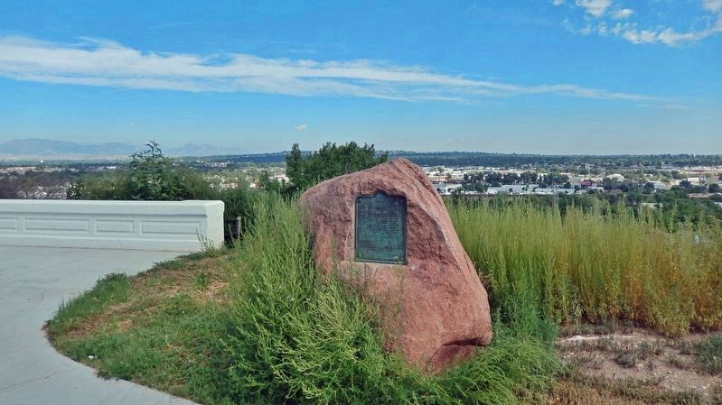
This tablet is the property of the State of Colorado ——— One mile north of this point Gold Was Discovered on June 22, 1850, by a party of California-bound Cherokees. The discovery was made by Louis Ralston, whose name . . . — — Map (db m203500) HM
This 1857 map of the United States shows Colorado as part of Kansas Territory. Colorado did not become a state until 1876. The white line marks the long journey of Ralston's party, starting at Auraria, Georgia and ending at Sutter's Mill, . . . — — Map (db m289348) HM
The route followed by the McNair party of 1850 has been named the Cherokee Trail, in honor of the members of the Cherokee tribes and their families who were among the first to travel the area. Sections of the trail may have been established by . . . — — Map (db m289341) HM
Gold miners in the early years recovered placer gold using equipment such as gold pans, sluice boxes, and rockers. Placer gold appeared as flakes, grains, and nuggets in gravel and sand deposits in the beds of creeks and rivers. Placer mining was . . . — — Map (db m289361) HM
Lewis Ralston made the first documented gold find in Colorado here on June 22, 1850. Although he stayed only a day and recovered little in the way of gold dust, his discovery paved the way for one of the largest migrations in the history of the . . . — — Map (db m289367) HM