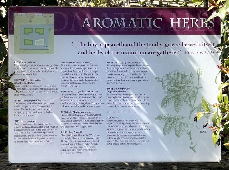
'... the hay appeareth and the tender grass sheweth itself and herbs of the mountain are gathered' - Proverbs 27.25
Bay (Laurus nobilis)
Bay was widely used in monastic herb gardens to make sweet-scented, decorative borders. The Strong . . . — — Map (db m314473) HM
Built 1618 to replace a former cross destroyed in the Great Fire of 1615. Formerly the Market Clerk's office this later became the Council chamber and reading room. — — Map (db m314476) HM
Bay (Laurus nobilis)
Bay was widely grown in monastic gardens for its ornamental value and its varied uses. Medicinally, bay leaf tisanes, oils and ointments eased stiff joints, arthritis and rheumatism. Such complaints must have been common . . . — — Map (db m314472) HM
Seeking a fairer society in Norfolk, Robert Kett supported by his brother William, led a rebellion of more than 15,000 people in 1549. The rising was crushed and over 3,000 died. On 7th December 1549 Robert was hanged for treason at Norwich Castle . . . — — Map (db m314475) HM
1. Surviving Parish Church (Wymondham Abbey)
2. Abbey Church
3. Cloister and monastic buildings
4. Outbuildings and gardens
5. Gatehouse
6. Walled Abbey grounds, extending by Lady's Lane
7. Tanneries
8. Mill pool and water mill . . . — — Map (db m314477) HM
There has been a church on this site for over 1000 years.
In 1107, the local Norman landowner established a small community of Benedictine monks here. The church he built was on a grand scale as it served both the monastery and the local parish . . . — — Map (db m306390) HM
This is where people entered the church through the porch. A road once passed close to the door, but was diverted by Rev'd William Papillon in 1826.
The monks' church was at the east end. It was taken down after the monastery closed in 1538, . . . — — Map (db m314467) HM
This is the sunny south side of the church. Some remains of the former monastery buildings still poke through the grass in the meadow behind you.
Be careful not to fall into the ha-ha which was added as a landscape feature in 1834. It separates . . . — — Map (db m314471) HM
This is the great west tower of the church. At 142 ft (42m) high, it is the tallest building for miles around.
The original church had two short Norman towers. They were taken down in 1446 and work started on this new tower to hold the parish . . . — — Map (db m314469) HM