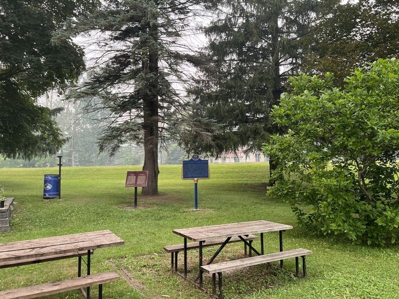
On Queen Street North (Bruce County Road 3) at Cambridge Street, on the right when traveling south on Queen Street North (Bruce County Road 3).
One of Canada's outstanding artists, Milne was born on a farm near Burgoyne, Saugeen Township, and raised in Paisley. Though largely self-taught, he studied briefly in New York at the Art Student's League, and in 1913 exhibited some of his paintings . . . — — Map (db m307595) HM
On Queen Street North (Bruce County Road 3) at Cambridge Street, on the right when traveling south on Queen Street North (Bruce County Road 3).
David Milne was one of the first Canadian artists to explore modernist styles and subject matter. His paintings, watercolours, and prints are subtle arrangements of colour, space, and line.
In 1903, he left Paisley for New York City, . . . — — Map (db m307589) HM
In July 1890, John Elliot, a mill builder from Chesley, purchased this lot in a section of Queen Street North Burned out by the fire of 1889 and constructed this handsome building. In 1902,
Elliot sold it to James Steele and the metal plaque near . . . — — Map (db m307651) HM
On Mill Street at Queen Street South, on the right when traveling west on Mill Street.
The mill property was developed by D. Hanna, in the 1850'S. He built a dam, mill race one saw mill on the south side of the river. In 1869, D. Fisher bought the property and operated a flour and saw mill. The central rectangle of the present mill . . . — — Map (db m307652) HM
On Goldie Street (Provincial Highway 11) at Queen Street South, on the right when traveling west on Goldie Street.
In 1852, shortly after this region was opened for settlement, the government reserved land for a town here on the Elora and Saugeen Road, at the confluence of the Teeswater and Saugeen Rivers. Already settled on the site were Simon Orchard and . . . — — Map (db m198319) HM
On Queen Street North (County Road 3) at Cambridge Street, on the right when traveling south on Queen Street North.
The brick chimney is all that remains of a foundry, which once employed as many as sixty men. Built in the early 1860's, it
operated for several years as Laidlaws
Foundry. John Stewart purchased the
business in the late 1860's and changed its . . . — — Map (db m307517) HM
On Queen Street North 0.1 kilometers south of Church Street, on the right when traveling south.
This shop was built by Wm. Flood who purchased the lot from David Hanna in 1869
and was the owner until 1894. In October of 1889, a fire destroyed much of the business section on the west side of Queen St. N. but did not affect this building. . . . — — Map (db m307637) HM
On Water Street at Goldie Street (Provincial Highway 11), on the right when traveling north on Water Street.
Pump House A brick building was constructed in 1887 for the purpose of providing fire protection to a portion of the village. A well was dug in the basement of the pump house with a pipe extending to the Saugeen River. A steam engine of 4 . . . — — Map (db m198320) HM
On Queen Street North (Bruce County Road 3) 1 kilometer south of Church Street, on the right when traveling south.
Born in Truro, England, March 9, 1819.
Came to New York (1838), then to Toronto (1840) and to Grey County (1844).
In 1851 he came from Walkerton by raft down the Saugeen River arriving in Paisley a few weeks after his friend Simon Orchard. He . . . — — Map (db m307650) HM
On Queen Street North (Bruce County Road 3) 0.1 kilometers Church Street, on the right when traveling south.
In April 1851, Simon Orchard and
family beached their raft near
this point. Motivated by a dream
he experienced during a brief residence in Walkerton, he and his family descended the Saugeen
River. Captivated by the sight of two rivers joining, . . . — — Map (db m307649) HM
On Queen Street South at Mill Drive, on the right when traveling south on Queen Street South.
In 1852 Samuel T. Rowe, 2nd settler to Paisley, built a log tavern on this site. It became the first store and provided food and drink for weary travelers. It was also the site of the first church service and meeting place for several denominations, . . . — — Map (db m307636) HM