Marker Logo HMdb.org THE HISTORICAL
MARKER DATABASE
“Bite-Size Bits of Local, National, and Global History”


7 entries match your criteria.  


Related Historical Markers

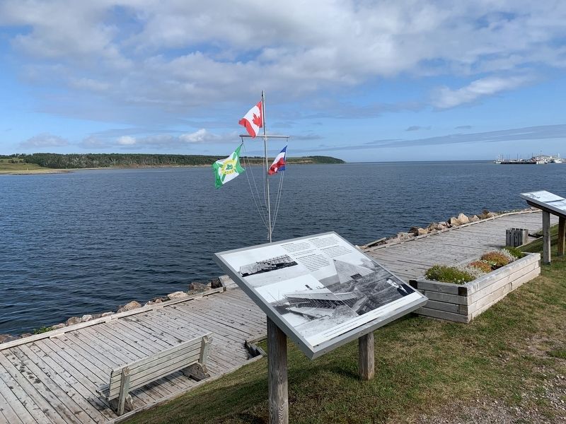
The Chéticamp Gypsum Mine
 
The Gypsum Mine/La Mine De Plâtre Marker image, Touch for more information
By Steve Stoessel
The Gypsum Mine/La Mine De Plâtre Marker
SHOWN IN SOURCE-SPECIFIED ORDER
1 Nova Scotia, Inverness County, Chéticamp — The Gypsum Mine/La Mine De Plâtre
On Cabot Trail just north of Barren Road, on the left when traveling north.
2 Nova Scotia, Inverness County, Chéticamp — Voie ferrée et « Lu vieille Louise » / The railroad and "The Old Louise"1910-1914
Near Cabot Trail just north of Barren Road, on the left when traveling north.
3 Nova Scotia, Inverness County, Chéticamp — Tunnel et Quai de la mine / Tunnel and Mine Wharf
Near Cabot Trail just north of Barren Road, on the left when traveling north.
4 Nova Scotia, Inverness County, Chéticamp — M. Joseph Macfarland / Mr. Joseph MacFarland1923-1947
Near Cabot Trail just north of Barren Road, on the left when traveling north.
5 Nova Scotia, Inverness County, Chéticamp — Dés l'année suivante, en 1927 / The following year, in 1927
Near Cabot Trail just north of Barren Road, on the left when traveling north.
6 Nova Scotia, Inverness County, Chéticamp — La fin d'un rêve / The End of a Dream
Near Cabot Trail just north of Barren Road, on the left when traveling north.
7 Nova Scotia, Inverness County, Chéticamp — La Bouée du havre / The Harbour Bouy
Near Cabot Trail just north of Barren Road, on the left when traveling north.
 
 
CeraNet Cloud Computing sponsors the Historical Marker Database.
This website earns income from purchases you make after using our links to Amazon.com. We appreciate your support.
Paid Advertisement
May. 14, 2024