Near Bakerton Road (County Road 27), on the right when traveling south.
Confederate General Robert E. Lee's first invasion of the North hinged on eliminating the Harpers Ferry garrison. To do so Lee devised Special Orders 191. He divided his force of 40,000 into four parts. Three columns marched from near Frederick, . . . — — Map (db m7839) HM
On Bakerton Road (County Route 27), on the right when traveling south.
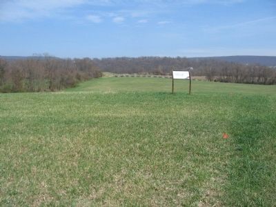
Never had "Stonewall" Jackson faced a stronger enemy position. Arriving here on Schoolhouse Ridge on the first day of the battle, Jackson scanned Bolivar Heights (the lower ridge in front of you) and saw a dangerous enemy - 7,000 Union infantry and . . . — — Map (db m168601) HM
Near Bakerton Road (County Route 27), on the right when traveling south.
Text of the marker is arranged to illustrate the movements of the Confederate Army during the Antietam Campaign of 1862: September 10, 1862 from Frederick, Maryland Confederate commander Lee sends part of his army to capture Harpers . . . — — Map (db m155741) HM
Near Bakerton Road (County Route 27), on the right when traveling south.
"Stonewall" Jackson understood the principle of military deception. On the second evening of the battle, he used deception here. To lure the Union attention away from the south end of Bolivar Heights, Jackson faked an attack against the north end of . . . — — Map (db m7866) HM
Near Bloomery Road (County Road 27), on the right when traveling south.
Invasion rocked the United States during the second year of the American Civil War. In September 1862 Confederate General Robert E. Lee launched his army into Maryland - the North. Lee's first target became Harpers Ferry. He ordered "Stonewall" . . . — — Map (db m7924) HM
Near Bloomery Road (County Road 27), on the right when traveling south.
Accurate communication was crucial to winning the Battle of Harpers Ferry. Rivers, mountains, and miles of distance separated Confederate General "Stonewall" Jackson from his mountaintop commanders. With telegraph messaging impossible and courier . . . — — Map (db m155742) HM
On Bloomery Road (County Road 27), on the right when traveling south.
(Upper Panel): Setting the Trap Confederate Major General "Stonewall" Jackson faced three enemies - the Union garrison at Harpers Ferry, its formidable position on Bolivar Heights, and time. On the second day of the battle, although . . . — — Map (db m7926) HM
Near Bloomery Road (County Road 27), on the right when traveling south.
(Upper Panel): Battle of Harpers Ferry Invasion rocked the United States during the second year of the American Civil War. In September 1862 Confederate General Robert E. Lee launched his army into Maryland - the North. Lee's first target . . . — — Map (db m168651) HM
Near Bloomery Road (County Road 27), on the right when traveling south.
Confederate Major General "Stonewall" Jackson faced three enemies - the Union garrison at Harpers Ferry, its formidable position on Bolivar Heights, and time. On the second day of the battle, although pummeled by a Confederate bombardment, the . . . — — Map (db m7929) HM