21 entries match your criteria.
Dominguez y Escalante Expedition Historical Markers
Markers commemorating the 1,800 mile expedition by Fathers Dominguez and Escalante from Santa Fe into Utah in 1776.
By Bill Kirchner, September 23, 2010
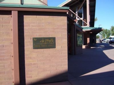
One Days Ride to Zuni Marker
| Near Interstate 40 at milepost 359. |
| On U.S. 89A at milepost 609, on the left when traveling north. |
| On U.S. 89A at milepost 557, on the left when traveling east. Reported missing. |
| On U.S. 89A at milepost 538.3, on the right when traveling west. |
| On Lake Powell Boulevard at Navajo Drive, on the right when traveling north on Lake Powell Boulevard. |
| On U.S. 491 at Guyrene Street, on the right when traveling west on U.S. 491. |
| On U.S. 160, 0.8 miles Cherry Creek Road, on the left when traveling west. |
| On U.S. 160, 0.8 miles west of Cherry Creek Road, on the left when traveling west. Reported missing. |
| Near Chipeta Road north of U.S. 550, on the right when traveling north. |
| On Chama Highway (U.S. 84 at milepost 191.1), close to Española, on the right when traveling north. |
| On U.S. 40, 0.1 miles east of East Third Avenue, on the right when traveling east. |
| On Highway 40 (U.S. 40), on the right when traveling west. |
| On Main Street at 200 North on Main Street. Reported missing. |
| On Utah Route 56 at milepost 57, on the right when traveling west. |
| On Burraston Road, 0.7 miles west of Old Highway 91, on the left when traveling west. |
| On North Main Street, on the right when traveling north. |
| On West 100 South Street at South 100 West Street, on the right when traveling east on West 100 South Street. |
| On U.S. 6 north of Powerhouse Road, on the right when traveling east. |
Apr. 29, 2024