Near here, in 1774, stood Daniel Smith’s fort, also known as Fort Christian. The fort was named for Smith, who was a surveyor and captain of the military company on Upper Clinch River. — — Map (db m89861) HM
On the hill to the north stood Russell’s Fort, an important link in the chain of forts built to protect settlers on Clinch River in the Indian War of 1774. William Russell, who established it, was a prominent soldier of the Revolution. — — Map (db m89826) HM
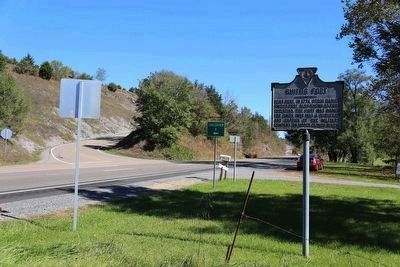
William Dorton Sr.
and his family, settled
here by 1773 and built a fort, one of
several defensive structures built by settlers
of European descent on the Virginia frontier.
Dorton's sons William Jr. Moses
fought in the Revolutionary War
and . . . — — Map (db m89847) HM
South of here stood Elk Garden Fort, built in 1774 to protect settlers of European descent along the upper Clinch River. Conflict between Indians and settlers intensified early in the 1770s as Shawnee and Mingo resisted white occupation. In June . . . — — Map (db m89859) HM
A short distance south stood Glade Hollow Fort, garrisoned by twenty-one men in 1774. From Witten’s to Blackmore’s, these Clinch Valley forts were the frontier defenses in Dunmore’s War, 1774. — — Map (db m89856) HM
Moore’s Fort, also referred to as Byrd’s Fort, stood nearby close to the Clinch River. Built by 1774 and likely named for the owners of the property, the wooden structure served as defensive fortification for settlers of European descent on the . . . — — Map (db m89811) HM
Patrick Porter was among the early pioneer
settlers in present Scott County. Nearby on
Fall Creek is the site of Porter’s Mill, built
by Porter in 1774, the earliest licensed mill
on waters of the Clinch River. Porter is also
credited with the . . . — — Map (db m91004) HM
Blackmore's Fort stood to the northeast on
the Clinch River near the mouth of Stony
Creek. John Blackmore and others likely
constructed the fort by 1774. It served as a
defensive fortification for settlers of European
descent on the frontier. . . . — — Map (db m89868) HM
Near here stood a fort first known as Crissman’s
Fort, and later as Carter’s or Rye Cove Fort,
and by militia officers as Fort Lee.
Built by
Isaac Crissman, Sr. in 1774, it was acquired by
Thomas Carter
(1731 1803) after Crissman’s
death at . . . — — Map (db m90918) HM
The first known settler of European descent
in Scott County, Thomas McCullough, moved
here in 1769 and lived on Big Moccasin
Creek until about 1771. Houston's Fort, built by
William Houston and other settlers about 1774
stood near McCullough's . . . — — Map (db m89862) HM
During Dunmore’s war (1774) and the
Revolutionary War
(1775–1783) conflicts
between Indians and colonists often intensified
as European powers encouraged Indians from
the Ohio region to attack frontier settlers.
Tensions also sometimes . . . — — Map (db m90654) HM
On the hillside to the west stood Maiden Springs Fort, also known as Reese Bowen’s fort. It was garrisoned in Dunmore’s War, 1774. Reese Bowen, the founder, fought at Point Pleasant, 1774, and was killed at King’s Mountain, 1780. — — Map (db m104951) HM
On the hillside to the south stood Big Crab Orchard Fort, also known as Witten’s Fort. Thomas Witten obtained land here in 1771 and built the fort as a neighborhood place of refuge. It was garrisoned in Dunmore’s War, 1774. — — Map (db m44614) HM
On the hillside to the north stood Wynne’s Fort. A settlement was made here as early as 1752. Some years later William Wynne obtained land here and built a neighborhood fort. After 1776 the state government built a fort and garrisoned it. — — Map (db m90625) HM