15 entries match your criteria.
Battlefield Trails - Revolutionary War Historical Markers Links to "trail heads" for battlefield tours. Each uses the related markers section to provide a virtual tour of a battlefield or portion of a battlefield. Please use the Click to map all markers shown on this page option on each related markers page to see a map of each "trail."
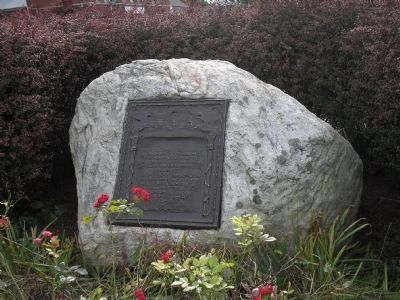
By Bill Coughlin, October 17, 2009
The Danbury Raid Marker
GEOGRAPHIC SORT Title Sort Marker Number Sort Marker Number Sort N Marker Number Sort T Publication Order Sort Publication Order Sort A Erected Year Sort Most Viewed Sort Most Recent-Interest Sort Most Recently Changed Sort SEE FAQ #33 FOR DESCRIPTIONS
On Main Street at Wooster Street, on the left when traveling south on Main Street.
On Newtown Reservation Road.
On Memorial Drive near State Route 69 (New York State Route 69), on the right when traveling north.
On North James Street (New York State Route 26) at West Dominick Street, on the right when traveling south on North James Street.
On U.S. 9W, on the right when traveling north.
On Stony Point Park Road, on the right when traveling east.
Near Minisink Battle Ground Road, on the left when traveling east.
On County Route 47 near Ohio Route 67, on the left when traveling south.
On Monument Avenue, on the left when traveling west.
On W Fort Mifflin Road, on the right when traveling east.
On Kings Mountain Park Road.
Near Mount Independence Road, on the right when traveling north.
On Monument Hill Road, on the left when traveling north.
Paid Advertisement
May. 4, 2024