On Mountain Parkway (West Virginia Route 20) at School Loop Road, on the right when traveling west on Mountain Parkway.
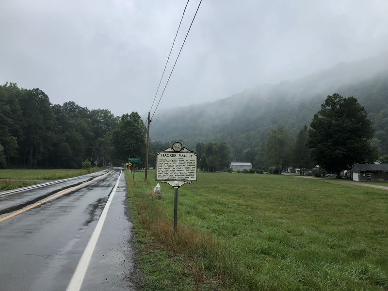
Community originally known as Hacker Lick for John Hacker and salt springs he found here in 1772, following a buffalo trail on lands he claimed by "tomahawk mark" in present Webster, Upshur, and Lewis counties. He killed a buffalo cow here. Post . . . — — Map (db m178889) HM
On County Route 2, 1.1 miles south of Waynes Ridge Road (Route 78), on the right when traveling south.
Side A
Cedar Curve Cemetery
Not far from this place on the inside of a bend called Wells Bottom sat the Cedar Curve Cemetery. The Cedar Curve Cemetery was in use from 1802-1847 on land first settled by James McMechen in 1776.
It . . . — — Map (db m102050) HM
On West Virginia Route 180, 0.3 miles south of Old Alt 18, on the right when traveling north.
Village settled early 1800s, named for pioneer Steven(1793-1873) and family in 1840s. John and Margaret Van Camp gave land for Methodist E. Church, 1879; services held into 1940s; cemetery dates to 1851; site for school, ca. 1870-1920, given by . . . — — Map (db m102051) HM
On Little Kanawha Parkway (West Virginia Route 5) at Chestnut Run Road (Local Road 35/6), on the left when traveling south on Little Kanawha Parkway.
One of the oldest “still attended” churches in the state, it was built in 1835 of hand-hewed logs. Much effort has been expended on the preservation of church's original appearance. It is heated by a pot-bellied stove and lighted by kerosene . . . — — Map (db m73491) HM
On Market Street at 10th Street, on the right when traveling north on Market Street.
National Register of Historic Places
Calvary Temple Evangelical Church
(First Presbyterian Church)
Presented by Wood County Historic Landmarks Commission — — Map (db m189832) HM
National Register of Historic Places
Logan Memorial Methodist Church 1891
Presented by Wood County Historic Landmarks Commission — — Map (db m189854) HM
On Market Street, on the right when traveling north.
National Register of Historic Places
Saint Francis Xavier Catholic Church - 1869
Presented by Wood County Historic Landmarks Commission — — Map (db m189828) HM
On Appalachian Highway (West Virginia Route 10) 0.2 miles south of Poplar Gap Road (County Route 1), on the right when traveling south.
The first church in Wyoming County, organized 1812 at the residence of Thomas and Ellen Cooke near Oceana with James Ellison as minister. Meetings held in homes, courthouse, and schools. About 1870, services moved to Jesse. Present church erected . . . — — Map (db m178517) HM
On Main Avenue (West Virginia Route 97) at River Drive Avenue (West Virginia Route 10), on the left when traveling west on Main Avenue.
Here is the statue of Rev. W. H. Cook, soldier, statesman, and minister. Oceana was the county seat for many years. Wyoming County is noted for the Burning Rocks where warm air from the earth’s depths melts ice or snow in winter. — — Map (db m138400) HM
On Main Avenue (West Virginia Route 97) at River Drive Avenue (West Virginia Route 10), on the right when traveling west on Main Avenue.
These historical documents known as the Ten Commandments, are put on display by donations received from the citizens of Wyoming County. They are to be used as a historical reference and model to enrich the knowledge of our citizens to an . . . — — Map (db m204173) HM
215 entries matched your criteria. Entries 201 through 215 are listed above. ⊲ Previous 100