After filtering for United States of America, 138 entries match your criteria. Entries 101 through 138 are listed.⊲ Previous 100
Historical Markers and War Memorials in Sacramento CA 95814
By Douglass Halvorsen, June 1, 2013
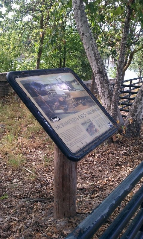
Sacramento's Early Waterfront Marker
| 101 ► California, Sacramento County, Sacramento, Old Sacramento — Sacramento's Early Waterfront — |
| Near Sacramento River Bike Trail north of J Street. | |||
| 102 ► California, Sacramento County, Sacramento, Old Sacramento — Sacramento's Original Level |
| On I Street west of 2nd Street, on the left when traveling west. Reported permanently removed. | |||
| 103 ► California, Sacramento County, Sacramento, Old Sacramento — Social Problems Grow — |
| Near K Street at Interstate 5, on the right when traveling east. | |||
| 104 ► California, Sacramento County, Sacramento, Old Sacramento — Ten Years that Electrified Our World — |
| Near K Street at Interstate 5, on the right when traveling east. | |||
| 105 ► California, Sacramento County, Sacramento, Old Sacramento — The Arrival of Sutter — |
| Near K Street at Interstate 5, on the right when traveling east. | |||
| 106 ► California, Sacramento County, Sacramento, Old Sacramento — The Birth of the City — |
| Near K Street at Interstate 5, on the right when traveling east. | |||
| 107 ► California, Sacramento County, Sacramento, Old Sacramento — The Birth Place of the Railroads — |
| Near Capital Mall. | |||
| 108 ► California, Sacramento County, Sacramento, Old Sacramento — The Docks — |
| Near Capital Mall. | |||
| 109 ► California, Sacramento County, Sacramento, Old Sacramento — The Early Homeless — |
| Near K Street at Interstate 5, on the right when traveling east. | |||
| 110 ► California, Sacramento County, Sacramento, Old Sacramento — The Educators — |
| Near K Street at Interstate 5, on the right when traveling east. | |||
| 111 ► California, Sacramento County, Sacramento, Old Sacramento — The First Brick Building in Sacramento — |
| Near Capital Mall. | |||
| 112 ► California, Sacramento County, Sacramento, Old Sacramento — The Gold Rush Begins — |
| Near K Street at Interstate 5, on the right when traveling east. | |||
| 113 ► California, Sacramento County, Sacramento, Old Sacramento — The Infant City — |
| Near K Street at Interstate 5, on the right when traveling east. | |||
| 114 ► California, Sacramento County, Sacramento, Old Sacramento — The Interurban Railroad Lines — |
| Near Capital Mall. | |||
| 115 ► California, Sacramento County, Sacramento, Old Sacramento — The Land Legacy — |
| Near K Street at Interstate 5, on the right when traveling east. | |||
| 116 ► California, Sacramento County, Sacramento, Old Sacramento — The Northern Electric Bridge — |
| Near Capital Mall. | |||
| 117 ► California, Sacramento County, Sacramento, Old Sacramento — The Pony Express — |
| On 2nd Street at J Street, on the left when traveling south on 2nd Street. | |||
| 118 ► California, Sacramento County, Sacramento, Old Sacramento — The Preservationists — |
| Near K Street at Interstate 5, on the right when traveling east. | |||
| 119 ► California, Sacramento County, Sacramento, Old Sacramento — The River Lines Fleet — |
| Near Capital Mall. | |||
| 120 ► California, Sacramento County, Sacramento, Old Sacramento — The Sisters of Mercy — |
| Near K Street at Interstate 5, on the right when traveling east. | |||
| 121 ► California, Sacramento County, Sacramento, Old Sacramento — The Squatters Settle In — |
| Near K Street at Interstate 5, on the right when traveling east. | |||
| 122 ► California, Sacramento County, Sacramento, Old Sacramento — The United States Merchant Marine — |
| Near Capital Mall at Front Street. | |||
| 123 ► California, Sacramento County, Sacramento, Old Sacramento — Theodore Dehone Judah — That The West May Remember — America’s First — |
| On 2nd Street at L Street, on the right when traveling north on 2nd Street. | |||
| 124 ► California, Sacramento County, Sacramento, Old Sacramento — Tower Bridge: Gateway to the Capital — |
| Near Capital Mall. | |||
| 125 ► California, Sacramento County, Sacramento, Old Sacramento — Transportation Gathers Steam — |
| Near K Street at Interstate 5, on the right when traveling east. | |||
| 126 ► California, Sacramento County, Sacramento, Old Sacramento — U.S.S. Sacramento – 1964 — [AOE-1] — |
| On Capital Mall at Front Street on Capital Mall. | |||
| 127 ► California, Sacramento County, Sacramento, Old Sacramento — U.S.S. Sacramento 1863 – 1867 — |
| Near Capital Mall at Front Street. | |||
| 128 ► California, Sacramento County, Sacramento, Old Sacramento — U.S.S. Sacramento 1914 – 1942 — The Galloping Ghost of the China Coast — |
| Near Capital Mall at Front Street. | |||
| 129 ► California, Sacramento County, Sacramento, Old Sacramento — USS Sacramento (PG-19) — “The Galloping Ghost of the China Coast” — 1914 – 1946 — |
| Near Capital Mall at Front Street. | |||
| 130 ► California, Sacramento County, Sacramento, Old Sacramento — 604 — Vernon-Brannan House — |
| On Firehouse Alley at J Street, on the left when traveling west on Firehouse Alley. | |||
| 131 ► California, Sacramento County, Sacramento, Old Sacramento — View Near the M Street Bridge — |
| Near Capital Mall. | |||
| 132 ► California, Sacramento County, Sacramento, Old Sacramento — War Games — |
| Near K Street at Interstate 5, on the right when traveling east. | |||
| 133 ► California, Sacramento County, Sacramento, Old Sacramento — Women Enter the Fray — |
| Near K Street at Interstate 5, on the right when traveling east. | |||
| 134 ► California, Sacramento County, Sacramento, Old Sacramento — Women in the Wartime Workforce — |
| Near K Street at Interstate 5, on the right when traveling east. | |||
| 135 ► California, Sacramento County, Sacramento, Poverty Ridge — Site of the Ridge Home - Sacramento's First Mercy Hospital — |
| On 23rd Street south of Q Street, on the left when traveling north. | |||
| 136 ► California, Sacramento County, Sacramento, Richmond Grove — St. Elizabeth Portuguese National Church — |
| On 12th Street at S Street on 12th Street. | |||
| 137 ► California, Sacramento County, Sacramento, Southside Park — 526 — California’s First Passenger Railroad — |
| On R Street at 3rd Street, on the left when traveling west on R Street. | |||
| 138 ► California, Sacramento County, Sacramento, Southside Park — Rededication of El Centro Mexicano Plaque — September 16, 2011 — |
| Near U Street west of 8th Street. | |||
138 entries matched your criteria. Entries 101 through 138 are listed above. ⊲ Previous 100