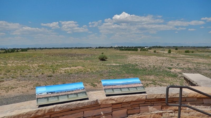
Near Gateway Road 0.7 miles north of Prairie Parkway (East 64th Avenue), on the left when traveling east.
Early Years of Statehood
In the early years of statehood, silver strikes at Leadville and Aspen brought settlers and money into Colorado. Rail lines, smelters, and refineries were built, and large coalfields were opened up.
The High . . . — — Map (db m119387) HM
Near Gateway Road 0.7 miles north of Prairie Parkway (East 64th Avenue), on the left when traveling east.
Rocky Mountain Arsenal National Wildlife Refuge
Located just eleven miles northeast of downtown Denver, the Refuge is the largest contiguous open space in the Denver metropolitan area. A major environmental restoration program will be . . . — — Map (db m119390) HM
Near Gateway Road 0.7 miles north of Prairie Parkway (East 64th Avenue), on the left when traveling east.
The Fourteeners
There are 58 peaks in the Colorado Rocky Mountains that are above 14,000 feet in height. While 54 are generally acknowledged to be "14ers", most people who want to climb them want to climb all 58. They are contained in six . . . — — Map (db m119395) HM
Near Gateway Road 0.7 miles north of Prairie Parkway (East 64th Avenue), on the left when traveling east.
Commerce City
Commerce City was incorporated as Commerce Town in 1952 and became Commerce City in 1970. In 2004 the Prairie Gateway, a 917-acre parcel of land located along the western edge of the Rocky Mountain Arsenal National Wildlife . . . — — Map (db m119381) HM
On South 3rd Street at Madison Street, on the left when traveling north on South 3rd Street.
James Haire, a Colorado Artist, was commissioned to create this life-sized bronze sculpture in honor of the Scouts and Leaders of Adams County. The piece depicts not only the practical skills instruction adult volunteers provide to young scouts . . . — — Map (db m211619) HM
Near East 160th Avenue (East Bridge Street) (State Highway 7) just east of South 4th Avenue (State Highway 2), on the right when traveling east.
Historic City Hall was initially built as the first permanent Adams County Courthouse. The courthouse was designed in 1904 by architect John James Huddart, who also designed the Brighton Armory. In 1906, builder A.B. McDonald completed the . . . — — Map (db m203311) HM
On Ohio River Scenic Byway (U.S. 52) 0.3 miles west of Blue Creek Road (County Highway 18), on the right when traveling west.
A thriving riverport in the 19th Century founded in 1835 by William Stout. Elisha Stout, son of William, born and raised here, was one of the founding fathers of Omaha, Nebraska and Denver, Colorado. Former site of Adamsville which served as the . . . — — Map (db m73138) HM
Near Havana Street (Wildlife Drive) 0.6 miles north of East 64th Avenue (Wildlife Drive), on the right when traveling north.
In 1942, women and men of the U.S. Army built this Arsenal that helped achieve victory in WWII and the Cold War. With thanks to our partners, the U.S. Army, Shell Oil Company and their contractors, we dedicate this flagpole to the employees of . . . — — Map (db m119380) HM
On West Second Street (Business U.S. 6) east of North Burlington Avenue, on the right when traveling east.
In 1909 a determined and energetic thirty-year-old man purchased
a 10 x 12 loft at 817 West Second Street. His purpose was to provide
Nebraska with quality cigars. However, John W. Kipp did not realize
what massive popularity his cigar-making . . . — — Map (db m251829) HM
On West 18th Street at Baynard Boulevard on West 18th Street.
African American Medal of Honor Recipients Memorial
The Medal of Honor takes its place in our country as the highest award for military valor. The honor, awarded by the President in the name of Congress, may only be accorded an . . . — — Map (db m173924) HM WM
Thin black lines indicate changes in relevance. Between each pair of lines entries are ordered geographically but all have the same relevance.
* Inflectional forms of words are their plurals, singulars, and possessives as well as gramatical tenses and similar variations.