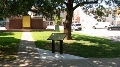
Nevada City was laid out as Vernon County's seat of government in 1855, and was named for a California town prominent during the Gold Rush. Founding spirit DeWitt C. Hunter had spent some years mining there before returning to western Missouri . . . — — Map (db m34210) HM
On August 26, 1804, Private George Shannon and George Drouillard went to hunt for two missing horses. Drouillard returned the next day without the horses - or Shannon. The private disappearance seemed ominous as the Lewis and Clark Expedition . . . — — Map (db m316018) HM
Here where the Ozark Highland borders on the Western Prairie region of Missouri, Cedar County was organized in 1845. The name is for the trees along Cedar Creek. Stockton, the county seat, was platted in 1846 on land given by Zimri and Marian . . . — — Map (db m72914) HM
The Omaha and Ponca
The Omaha and Ponca tribes were once a single people closely related to the Osage, Kansa and Quapaw tribes of the lower Missouri and Mississippi River valleys. The ancestoral Omaha-Ponca people migrated from that region . . . — — Map (db m234981) HM
Much of the early history of Cedar County involves the Indian inhabitants, the Ponca, Omaha, and Sioux. Several prehistoric and historic Indian villages were located in the region. In 1804, Lewis and Clark ascended the Missouri River near here . . . — — Map (db m181311) HM
This bell has been donated by the Rock School District of Cedar County Missouri in commemoration of the former Common School Districts which presently comprise the El Dorado Springs R-2 School District.
Cedar County
Barnes • Cedar Springs . . . — — Map (db m57417) HM
Encompassing 504 sq. miles of the west slope of Missouri's Ozarks, Dade County was organized in 1841 and named for Maj. Francis L. Dade killed in Florida War with Seminoles in 1835. In territory ceded by Osage tribes in 1808, the county was early . . . — — Map (db m79788) HM
Thin black lines indicate changes in relevance. Between each pair of lines entries are ordered geographically but all have the same relevance.
* Inflectional forms of words are their plurals, singulars, and possessives as well as gramatical tenses and similar variations.