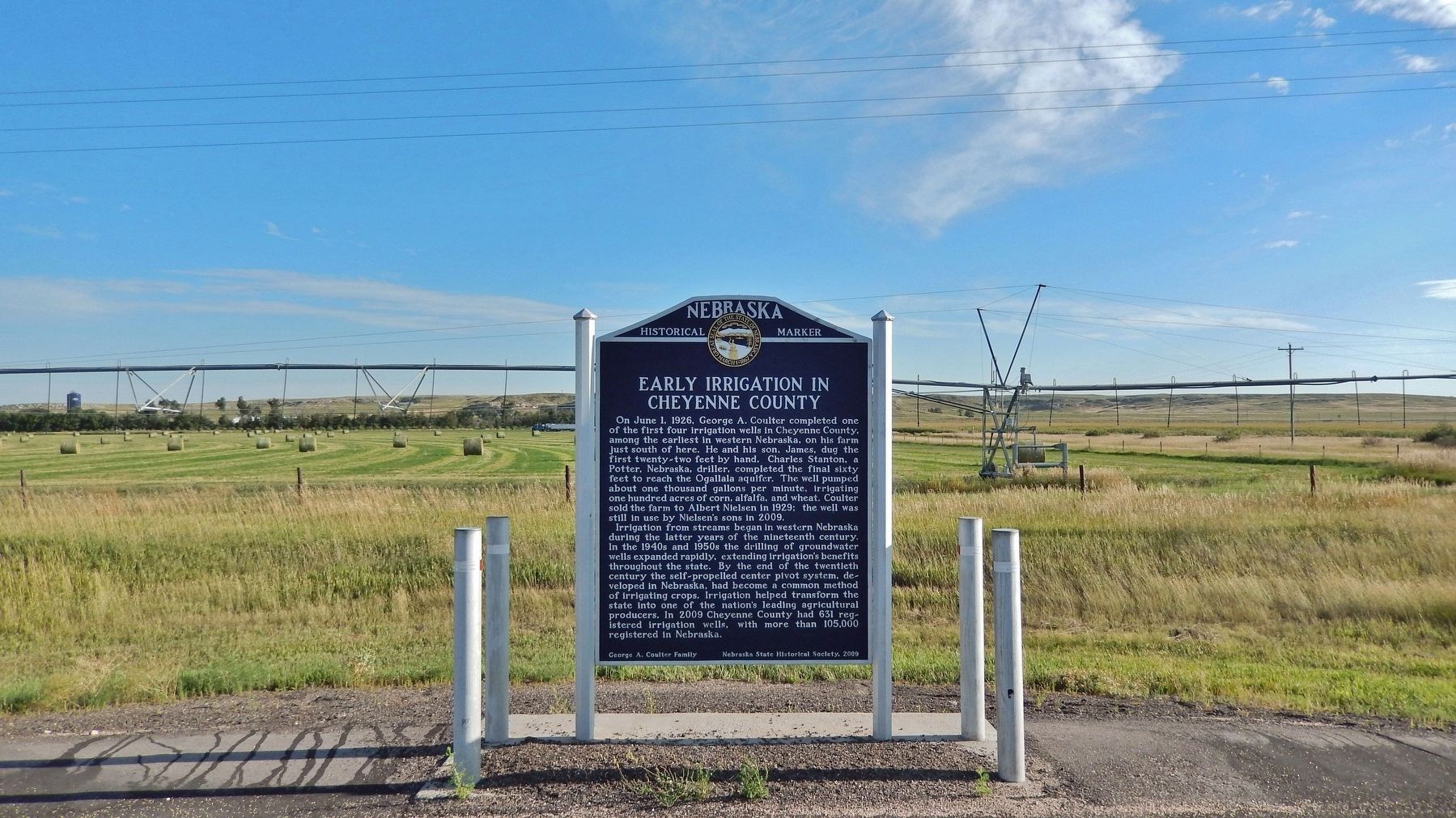
On Main Street (Lincoln Highway) (U.S. 30) at Road 79, on the right when traveling east on Main Street (Lincoln Highway).
On June 1, 1926, George A. Coulter completed one of the first four irrigation wells in Cheyenne County, among the earliest in western Nebraska, on his farm just south of here. He and his son, James, dug the first twenty-two feet by hand. Charles . . . — — Map (db m231142) HM
On Fort Sidney Road 0.1 miles north of Deaver Drive, on the left when traveling north.
A distinct group of prehistoric hunter-gatherers known to archeologists as the Oxbow Complex once occupied the northern High Plains from western Nebraska to southern Canada. About 2500 B.C. a band of Oxbow people interred two of their own near . . . — — Map (db m231081) HM
On Hickory Street at 10th Street, on the left when traveling east on Hickory Street.
Eight plaques mounted on a single monument are located at Hickory Square. The plaques are presented left to right.
Early Day Cheyenne County
The history of Nebraska and Cheyenne County correlate to the push westward of the . . . — — Map (db m76866) HM
Near Interstate 80 (at milepost 61), 1.3 miles east of Upland Parkway (Alternate Interstate 80), on the right when traveling west.
In 1867 an Army tent camp was established near here to provide protection for Union Pacific Railroad construction crews. Three years later it became Fort Sidney, the nucleus for the town of Sidney, county seat of Cheyenne County. The rush to the . . . — — Map (db m231061) HM
On Cabela Drive just south of Old Post Road, on the left when traveling south.
Thar’s gold in them thar hills! The Black Hills Gold Rush 1874: Two scientists attached to the Custer Expedition uncover gold in sacred Sioux land in South Dakota—and the Black Hills Gold Rush is on. During the Allison . . . — — Map (db m257339) HM
Near Interstate 80 (at milepost 61), 1.3 miles east of Upland Parkway (Alternate Interstate 80), on the right when traveling west.
Cheyenne County was organized in 1870 from lands ceded by the Cheyenne, Arapaho, and Dakota Sioux Indians. In the panhandle of Nebraska, it is part of the Cheyenne tableland portion of the Great Plains. Some fifteen miles west of Sidney lies the . . . — — Map (db m231054) HM
On County Highway 36 at County Highway 63.2, on the left when traveling south on County Highway 36.
The southeast corner of the Nebraska panhandle was organized November 6, 1888 from a part of Cheyenne County. Deuel County has two incorporated towns, Chappell, the County Seat and Big Springs.
Before 1850 Teton Sioux Indians camped on the . . . — — Map (db m119438) HM
On Commerce Road south of Old U.S. 24, on the right when traveling south.
Welcome to Land and Sky Scenic Byway, a land of expansive sky and agricultural abundance.
The expanse of land and sky extending in all directions provides an excellent
opportunity to see the agricultural abundance of Kansas in addition . . . — — Map (db m282332) HM
Thin black lines indicate changes in relevance. Between each pair of lines entries are ordered geographically but all have the same relevance.
* Inflectional forms of words are their plurals, singulars, and possessives as well as gramatical tenses and similar variations.