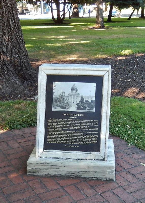
These Corinthian column segments originally were part of those that graced the west and east entrance porticos of Oregon's first state house. The cornerstone for the original Capitol was laid October 8, 1873. The building was partially . . . — — Map (db m113717) HM
(Seven panels dealing with topics related to the Applegate Trail are found at this kiosk:)
In 1846, Jesse Applegate and fourteen others from near Dallas, Oregon, established a trail south from the Willamette Valley and east to Fort . . . — — Map (db m114352) HM
In 1846, Jesse Applegate and fourteen others from near Dallas, Oregon, established a trail south from the Willamette Valley and east to Fort Hall. This route offered emigrants an alternative to the perilous "last leg" of the Oregon Trail down the . . . — — Map (db m114488) HM
The California Road
Originally a trail through the lands of the Shawnee Indians, running west from Westport through present day Johnson and Douglas Counties, this route was used throughout the 1830's and 1840's by Indians, missionaries, and . . . — — Map (db m50612) HM
This tree was given to Douglas County by Binger Hermann, U.S. Congressman, around the turn of the century. The occasion for the tree donation is not known positively, but research suggests that it was given at a dedication ceremony for the . . . — — Map (db m112587) HM
In 1846 the unsettled area that is now Parker, Colorado, consisted of wild open plains, inhabited only by local Indian tribes and passing trappers and traders. The Crosby-Brown Company, otherwise known as the Mississippi Saints, and detachments of . . . — — Map (db m97420) HM
Shawnee Tribal Leader Paschal Fish and his daughter, Eudora
This statue has been created to commemorate the 150th anniversary of the City of Eudora (1857-2007). The statue portrays Shawnee Tribal Leader Paschal Fish and his daughter, . . . — — Map (db m239853) HM
This is the site of the explosion which occurred in the early hours of August 7, 1959, resulting in fourteen deaths and injuring fifty seven persons. A fire in a lumber yard detonated a truck loaded with explosives and caused property losses . . . — — Map (db m112863) HM
This marks the Old Stage Route and the Daniel Smith Donation Land Claim Homesite 1852 – 1908 Smithfield Dedicated in His Honor 1862 — — Map (db m117049) HM
Thin black lines indicate changes in relevance. Between each pair of lines entries are ordered geographically but all have the same relevance.
* Inflectional forms of words are their plurals, singulars, and possessives as well as gramatical tenses and similar variations.