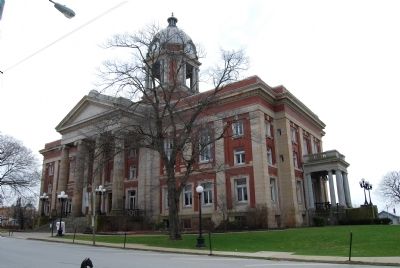
Formed March 12, 1800 from Allegheny County. The United States census reported 3228 residents in 1800. Named for General Hugh Mercer, Revolutionary hero killed at Battle of Princeton, 1777. Early iron and coal center. Mercer, the county seat, was . . . — — Map (db m41598) HM
European Contact: 17th and 18th Centuries
17th Century
French and English fur traders and explorers began to traverse the Allegheny Mountains in the late 17th century. The American Indians traded primarily beaver, mink, and other . . . — — Map (db m235182) HM
First Dutch Reformed Church west of the Allegheny Mountains, Established by fifty families who cam to Mercer County from Pennsylvania in 1781. Organized in 1796 the church was built on land purchased in 1800. In the church cemetery is the grave of . . . — — Map (db m153046) HM
End of Erie Extension of the Pennsylvania Canal system. Work begun here July 4, l838. Canal formally opened Dec. 5, 1844, by arrival of "R. S. Reed" with Mercer County coal, and "Queen of the West" with passengers. — — Map (db m180007) HM
Built in 1868, spanning the Shenango River. The only remaining bridge in Pennsylvania with an all-wooden truss design patented by Robert Smith of Tippecanoe City, Ohio. The last historic covered bridge in Mercer County, extending 120 feet in length . . . — — Map (db m22619) HM
[side 1] Here in Missouri's north central glacial plains, Mercer County was organized, 1845. Named for Rev. War Gen. Hugh Mercer, the county is in territory ceded by Iowa, Sac, and Fox tribes in 1824. Indians hunted in the . . . — — Map (db m179701) HM
Frederick James Kimball (1844-1903) was responsible for the Norfolk & Western Railway being built through McDowell County. Kimball was born on March 6,1844, in Philadelphia, Pennsylvania. He worked for railroad companies in Pennsylvania and England . . . — — Map (db m178855) HM
While the description of Bramwell as a town of millionaires can be
viewed as an exaggeration, it did have a significant number of wealthy
families. Their wealth was built largely upon the rapid growth of the
Pocahontas coalfield and Bramwell’s . . . — — Map (db m179168) HM
Patriotism has aiways been a Beaver County trait, and it was no different when the Civil War exploded on the scene. Eleven of the
270 regiments that the State of Pennsylvania raised contained one or more companies composed of Beaver County men, and . . . — — Map (db m176994) HM
The Mercer Oak was named for Brigadier General Hugh Mercer, who fought and was mortally wounded in the Battle of Princeton, January 3, 1777. The white oak is believed to have been here at the time of the American Revolution.
A legend says that . . . — — Map (db m166095) HM
In 1780 communal colonists came
from Pennsylvania to Mercer County, Kentucky. In
1784 thirty of the families came
here, purchased 10,000 acres from
Squire Boone. Lived in log fort.
Managed by Abraham Banta, George
Bergen made trustee later. . . . — — Map (db m136247) HM
Centuries of slavery destroyed countless people and families - dehumanized, abused, and sold as property. Its profound impacts have persisted for generations. West Windsor, a farming town from colonial settlement until the late 20th century, wasn’t . . . — — Map (db m302378) HM
Bramwell was not just the home to the owners and operators of the mines. The productive Pocahontas coalfield needed labor. Native Appalachians, immigrants of southern and eastern Europe and African-Americans from the agricultural south filled the . . . — — Map (db m179100) HM
Thin black lines indicate changes in relevance. Between each pair of lines entries are ordered geographically but all have the same relevance.
* Inflectional forms of words are their plurals, singulars, and possessives as well as gramatical tenses and similar variations.