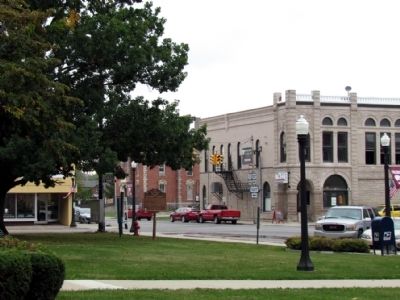
Named for John Paulding, a Revolutionary War soldier whose capture of a British spy implicated Benedict Arnold in treason, Paulding County was formed in 1820 from the last remaining unorganized area of Ohio. Sparsely settled, it remained under the . . . — — Map (db m69009) HM
New Rochester was platted in 1835 in an area recognized as a vital transportation hub through the Great Black Swamp. The 18-acre plat was situated on a high bluff overlooking the Maumee River. A 2009 archaeological survey discovered stone tools and . . . — — Map (db m281979) HM
In 1912, the president of the Public Library Association in Paulding requested funding from philanthropist Andrew Carnegie to building a library in Paulding. At first the Carnegie Corporation of New York refused, stating that it only provided . . . — — Map (db m69012) HM
Fort Brown was built in 1812 by a "Col. Brown." Together with Fort Jennings and Fort Amanda to the south, and Fort Winchester to the north, it guarded the army supply route into the Maumee Valley. In 1813, Gen. Greene Clay's Kentucky Militia, . . . — — Map (db m18989) HM
The Indians in early times plied the Auglaize River as they traveled between the Ohio and the Great Lakes. The French, the British, and then the Americans came into the valley as they succeeded in conquering the land. In the Indian Wars (1790 - . . . — — Map (db m19327) HM
A Natural Highway
Long before roads, the Maumee River served as a vital travel and trade route for Native peoples, French traders, and early settlers. Its winding course through dense forests and open plains provided both a guide and a . . . — — Map (db m282236) HM
In recent years, a magnificent pair of bald eagles has nested high in the towering trees along the Maumee River. During nesting season, you're likely to catch a glimpse of them soaring overhead, hunting along the river, or perched in the branches . . . — — Map (db m282242) HM
Horatio Nelson Curtis arrived in northwest Ohio by dugout canoe in 1825, eager to start a new life along the Maumee River. That same year, he helped organize Crane Township and was elected its first Justice of the Peace, an official empowered to . . . — — Map (db m282240) HM
On this site, the Miami and Erie Canal, that came north from Cincinnati and the Ohio River, intersected with the Wabash and Erie Canal that came from Fort Wayne and Evansville, Indiana. From this point, which became the town of Junction, the canals . . . — — Map (db m27250) HM
Tribe of the Ottawas
The last Chief of Oknoksee Village
Oquanoxas Indian reserve prior to 1820
The Indian chieftain and his tribe west westward about 1820.
In 1839 a town was formed and platted here, it was named Charloe after the . . . — — Map (db m161351) HM
Samuel Patterson arrived in East Orange in 1824 and, within a few years, began to hide runaway slaves in his home. He also invited anti-slavery speakers to the pulpit of the East Orange Methodist Church, which brought Patterson and his neighbors . . . — — Map (db m20550) HM
One of a chain of posts built
along the Auglaize River by
General William Henry Harrison
in his campaigns against the
British and Indians in the
War of 1812.
Presented to the State of
Ohio in the Sesquicentennial
Year of Statehood. . . . — — Map (db m18954) HM
Overlooking the Maumee River, New Rochester Park is a peaceful green space maintained by the Paulding County Park Board. Once the site of the early village of New Rochester, the park now honors that history while offering space for reflection, . . . — — Map (db m282244) HM
In 1823, Oliver Crane packed up his young family and left Goshen, New York, bound for the wilds of northwest Ohio. They traveled more than 900 rugged miles, arriving by dugout canoe on the Maumee River. Settling in the Great Black Swamp, Oliver . . . — — Map (db m282238) HM
Thin black lines indicate changes in relevance. Between each pair of lines entries are ordered geographically but all have the same relevance.
* Inflectional forms of words are their plurals, singulars, and possessives as well as gramatical tenses and similar variations.