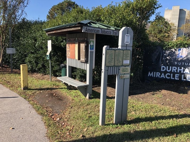
Durham was established in the 1850's when the North Carolina Railroad extended its tracks westward across the state. The new town became the destination for farmers in the area to bring their tobacco crops for sale and transport to the factories. . . . — — Map (db m126202) HM
Historic Hillcrest Cemetery is a planned African American cemetery located at 1905 Garner Road in Raleigh, Wake County, North Carolina. The Lightner Funeral Home was started in 1908 by Calvin E. Lightner and Rayford H. Lightner and received its . . . — — Map (db m233083) HM
On and around this spot
stood the old town of
Bloomsbury
or
Wake Court House
which was erected and made the county-seat when Wake County was established in 1771.
This place was the rendezvous of a part of Governor Tryon's army . . . — — Map (db m233421) HM
In its edition of August 27, 1851, the Plymouth Villager made a backhanded confirmation of the presence of abolitionists in Washington County, North Carolina. "A coat of tar and feathers is in waiting for the gentleman who will come about . . . — — Map (db m276306) HM
It is believed this site began as a burial ground for the enslaved well before the Civil War. On November 19, 1895, an official deed conveyed this section of ground from Pleasant Cates to "George Clifton and others" for the sum of four dollars as a . . . — — Map (db m205425) HM
Throughout the early 20th century, Oak View operated under a tenant farming system. From 1890-1940, the Wyatt family owned Oak View but did not live on the farm. Instead they hired a farm manager who lived in the main house. This manager hired other . . . — — Map (db m233630) HM
Union Troops and the Hospital In April 1865, 89,000 of General Sherman’s troops occupied Raleigh during the last days of the Civil War. Many Union soldiers camped on the hospital’s grounds and interacted with patients.
On the night of April . . . — — Map (db m233392) HM
In the first decades of the 20th century, Oak View's owners worked with their farm manager to plant the Pecan Grove in an effort to diversify the crops grown on the farm. The farm managers were careful to plant the trees in distinct row patterns to . . . — — Map (db m233627) HM
A Working Plantation, a People Enslaved For over 100 years beginning in the late 1700s, this land was part of the Spring Hill plantation owned by the Hunter family and worked by enslaved African Americans. Theophilus Hunter Sr. was a . . . — — Map (db m233358) HM
The roots of Reeves Grove Baptist Church can be traced to Wake County,
North Carolina, with the family of Charles Brumfield (1745-1826).
He supported the Revolutionary War cause and was a staunch Baptist
and church lay leader. About 1819, his . . . — — Map (db m300442) HM
In recognition of
Julius Valentine Hofmann
This Hofmann Forest, a 78,000 acre tract established in 1934 and dedicated to demonstrate sound forestry education and practice, is the result of the pioneering vision, energy and resourcefullness . . . — — Map (db m23732) HM
The White Plains Cemetery is typical of family burial grounds once common through our country. These cemeteries were a matter of practicality during the settlement of America due to distances between family farms and churches. Initially dictated by . . . — — Map (db m233127) HM
Originally located at 802 Oberlin Road on the other side of Oberlin Baptist Church; relocated to this site in 2019 by Preservation North Carolina to save it from demolition.
Willis M. and Eleanor Hinton Graves, both born into slavery, . . . — — Map (db m233282) HM
The Benton S.D. Williams family farmed the land at Oak View from the 1830s to the 1880s, when the property was sold to Job P. Wyatt. The Wyatt family owned the farm through 1940. Like most farmers in Wake County, the Williams and Wyatt families grew . . . — — Map (db m233634) HM
Originally called Leslie Manor, this distinctive local landmark was built by Archibald Leslie for his bride Isabelle Rogers. The mansion reflects the antebellum prosperity of Holly Springs. Its 38 rooms include a ballroom with a musician's gallery . . . — — Map (db m233970) HM
This property
has been placed on the
National Register
of Historic Places
by the United States
Department of the Interior
Morrisville
Christian Church
c. 1872
Morrisville
Historic Landmark
Morrisville
Christian . . . — — Map (db m232844) HM
Governor, 1889-91, state Adjutant General, 1863, Confederate officer, superior court judge, state legislator. His home was here. — — Map (db m65862) HM
Thin black lines indicate changes in relevance. Between each pair of lines entries are ordered geographically but all have the same relevance.
* Inflectional forms of words are their plurals, singulars, and possessives as well as gramatical tenses and similar variations.