By James Hulse, July 6, 2021
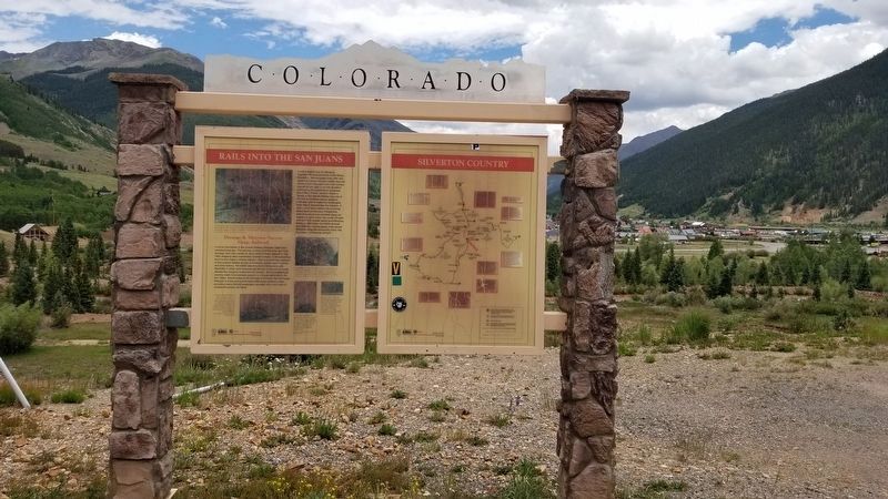
The Rails Into the San Juans Marker is the marker on the left of the two panels
| On Greene Street (County Highway 110) at West 15th Street, on the left when traveling north on Greene Street. |
| On Greene Street (County Highway 110) at Mineral Street, on the right when traveling north on Greene Street. |
| On U.S. 550, 0.1 miles west of County Highway 31, on the left when traveling east. |
| On Greene Street (County Highway 110) at East 16th Street, on the left when traveling north on Greene Street. |
| On Greene Street (County Highway 110) at West 15th Street, on the left when traveling north on Greene Street. |
| On Greene Street at Mineral Street, on the right when traveling north on Greene Street. |
| On Greene Street (County Highway 110) at East 12th Street, on the left when traveling north on Greene Street. |
| On Greene Street (County Highway 110) at West 12th Street, on the left when traveling north on Greene Street. |
| On Greene Street (County Highway 110) at West 12th Street, on the left when traveling north on Greene Street. |
| On County Highway 2, 0.4 miles west of County Highway 52, on the right when traveling east. |
| On County Route 28, 6 miles west of U.S. 385, on the right when traveling west. |
| Near County Highway 63.2 at County Highway 36, on the right when traveling north. |
| On 1st Street, on the right when traveling east. |
| Near U.S. 138 near U.S. 385, on the left when traveling north. |
| On Main Street at Morgan Avenue, on the left when traveling north on Main Street. |
| On U.S. 138 just east of 2nd Street, on the right when traveling east. |
| On Boreas Pass Road (County Road 10) near South Main Street (State Highway 9). |
| On Boreas Pass Road (County Road 10) near South Main Street (State Highway 9). |
| Near County Road 1220 near Interstate 70, on the right when traveling north. |
| On West 1st Street at Custer Avenue, on the left when traveling west on West 1st Street. |
| On CanAm Highway (U.S. 85) 0.1 miles north of 42nd Street, on the right when traveling north. |
| On CanAm Highway (U.S. 85) 0.1 miles north of 42nd Street, on the right when traveling north. |
| On 7th Avenue, on the right when traveling north. |
| On U.S. 34, 0.2 miles west of County Road 15, on the right when traveling west. |
| On CanAm Highway (U.S. 85) south of County Road 100, on the right when traveling north. |
| On CanAm Highway (U.S. 85) at Shafer Avenue, on the right when traveling south on CanAm Highway. |
129 entries matched your criteria. Entries 101 through 129 are listed above.
⊲ Previous 100