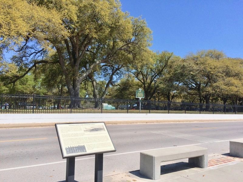
On Beach Boulevard east of Hague Street, on the right when traveling east.
Jackson County, being on the Confederate side during the American Civil War, suffered numerous incursions by Union forces. However, it was the one of April 9, 1863, which, although small by combat standards, had far-reaching import to Union . . . — — Map (db m102301) HM
On South Main Street at Water Street, on the right when traveling north on South Main Street.
The overland route linking St. Charles with the future sight of Fort Osage in present-day Jackson County was likely the earliest trail used by American settlers heading west. On its eastern end the trail passed in the vicinity of the later towns of . . . — — Map (db m124814) HM
Near Streetman Road west of Ephesus Church Road, on the left when traveling west.
Family History
William Clinton (1754-1847) married Violet Perry (1760-1852) in South Carolina
Their known children are:
1. David - Born 1785. Moved to Campbell County (Douglas), then to Louisiana.
2. John P. - Born . . . — — Map (db m298430) HM
1803 The Louisiana Purchase
1804 Lewis and Clark Explore
1808 They build Fort Osage - Osages cede lands to the east
1809 Troops to the Mandans
1811 Astorians to the Pacific - Sibley visits Kaws and Pawnees
1812 War with Great Britain . . . — — Map (db m86562) HM
On West Main Street (Business U.S. 59), on the right when traveling east.
Home of the Karankawa Indians granted in part to Stephen F. Austin and to Martin de Leon. Settled 1824-1835 by colonists largely from Alabama, Louisiana, Kentucky, Tennessee and, west of the Lavaca, Mexico. Organized as a municipality December 5, . . . — — Map (db m120609) HM
On Buckner-Tarsney Road, on the right when traveling north.
Four miles north are restored buildings of Fort Osage, westernmost frontier outpost of the U.S. government until 1819. One of 28 fortified Indian trading posts or "factories" operation on our Indian frontiers, 1795-1822, to promote and protect . . . — — Map (db m90355) HM
On Shortcut Road 0.1 miles east of Hospital Road when traveling east.
Front
The Mississippi Gulf Coast Blues & Heritage Festival, one of the longest running blues festivals in the Deep South, was founded in 1991 by the Mississippi Gulf Coast Blues Commission, Inc. At the Mississippi Coast Coliseum in . . . — — Map (db m102158) HM
On Heritage Landing south of South St. Peters Parkway, on the right when traveling north.
Cribbin's Home
• This park, historically known as the Cribbin's Home, Kuhlmann's Grove, and even Cedar Grove in 1875, features a well-known home built in the mid-1800s.
• The home was built by Lawrence Cribbin (sometimes spelled . . . — — Map (db m150854) HM
Thin black lines indicate changes in relevance. Between each pair of lines entries are ordered geographically but all have the same relevance.
* Inflectional forms of words are their plurals, singulars, and possessives as well as gramatical tenses and similar variations.