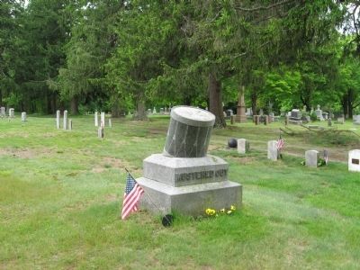
“It was the work of almost a single minute. The air was filled with sulphurous smoke, and the shrieks and howls of more than two hundred and fifty mangled men rose above the yells of triumphant rebels and the roar of their musketry.” . . . — — Map (db m40247) HM
Near Noble Avenue north of Crown Street, on the left when traveling north.
The eagle's drastic decline in the mid-20th century has been attributed to the widespread use of the pesticide DDT. In a process called biological magnification (brought brought forth to the general public by Rachel Carson in her book Silent . . . — — Map (db m230922) HM
Near East River Road 1.7 miles south of Connecticut Route 20.
Charcoal production was an important industry in northwestern Connecticut in the nineteenth century.
Before Pennsylvania coal became readily available, the iron forges in Litchfield County were reliant upon locally produced charcoal as . . . — — Map (db m112226) HM
Near Laburnum Avenue south of Pioneer, on the right when traveling south.
Julius Clinton Beach
Feb. 8, 1802 Goshen, Litchfield County, Connecticut
Mar. 12, 1882 Sacramento, California
Elizabeth Humphrey Beach
Dec. 18, 1793 Goshen, Litchfield County, Connecticut
Jan. 18, 1877 Sacramento, California . . . — — Map (db m233170) HM
On Woodland Avenue at East 66th Street, on the right when traveling west on Woodland Avenue.
Southwest quadrant:
Section 2 lot 7 Edward Wade (1802-1866) was born in Massachusetts and moved as a boy with his large family to Ashtabula. In 1832, he married Sarah Atkins, daughter of a prominent abolitionist, Josiah Atkins, who was . . . — — Map (db m297142) HM
On State Road South (County Road 25) 0.3 miles north of Plymouth Ridge Road, on the right when traveling west.
At one time, hundreds of covered bridges dotted the northeast Ohio countryside. A popular construction in 18th century Connecticut, the early settlers of the (Connecticut) Western Reserve brought this charming architecture with them from New . . . — — Map (db m213951) HM
On Litchfield Road (Connecticut Route 272) at Greenwoods Road East (U.S. 44), on the right when traveling north on Litchfield Road.
In the heart of the Green Woods on what was later the Hartford-Albany Turnpike, Norfolk was settled in 1744 by Cornelius Brown of Windsor. The town was incorporated in 1758 with forty-four voters at the first town meeting. A meeting house was . . . — — Map (db m29687) HM
On Main Street (U.S. 7) at Castle Street, on the left when traveling north on Main Street.
Near this spot stood the first court house of Berkshire County erected 1764. Here August 16, 1774 occurred the first open resistance to British rule in America — — Map (db m58957) HM
Thin black lines indicate changes in relevance. Between each pair of lines entries are ordered geographically but all have the same relevance.
* Inflectional forms of words are their plurals, singulars, and possessives as well as gramatical tenses and similar variations.