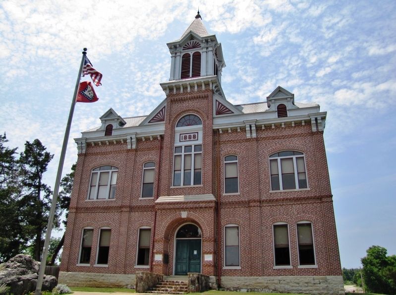
Near Arkansas Route 25 at 3rd Street, on the left when traveling south.
In 1815 Lawrence County was formed from the Territory of Missouri. It became part of the Arkansas Territory in 1819 when Missouri became a state. Thirty-one other counties were formed from Lawrence County, giving it the name, "Mother of Counties." . . . — — Map (db m155965) HM
On West Main Street (U.S. 412) at Northwest 4th Street (Business U.S. 67), on the right when traveling west on West Main Street.
We, the residence of Lawrence Co., erect this memorial to express our love and most sincere appreciation for the distinguished service displayed by our troops in protecting and preserving our freedoms During the Operation Desert Shield/Desert Storm, . . . — — Map (db m169765) WM
After the United States of America was drawn into World War II, the U.S. Army Air Forces urgently needed pilots. On April 15, 1942, its Site Selection Board recommended this location for a Basic Flying School, one of only 26 nationwide. The War . . . — — Map (db m286433) HM
On Main Street south of Virginia Avenue, on the right when traveling south.
When established in 1789, New Madrid was one of a handful of settlements in the Spanish territory west of the Mississippi River. First as a district and later as a county, the New Madrid jurisdiction extended as far south to the northern border of . . . — — Map (db m179976) HM
On Court Street at Spring Street, on the left when traveling north on Court Street.
The Sharp Family and the Civil War
Ephraim Sharp, namesake of Sharp County, and his brother William were prominent Evening Shade businessmen when the Civil War began. William served in the state legislature in 1860 and opposed Arkansas’s . . . — — Map (db m170472) HM
On Stadium Street near East College Street (U.S. 64).
Bell's Route of the Cherokee Trail of Tears in Tennessee, Arkansas, and Oklahoma, 1838-1839 Overview
The detachment headed by John Bell differed from the parties under Cherokee Chief John Ross's supervision. Bell's detachment was composed of . . . — — Map (db m29811) HM
Near State Highway 25, on the right when traveling east.
You are facing the Powhatan Jail
Designed by John D. Edwards, this is a rare example
of a stone military blockhouse.
Lawrence County, is known as the "Mother of Counties". In 1815,
Lawrence County formed this northern region of . . . — — Map (db m242636) HM
On U.S. 62/67 north of South Bettis Street, on the right when traveling north.
People have hunted and fished in the rich Black River Basin at least since the Paleo Indian Period (beginning around 10,000 B.C.). More recently, Native American built villages and mounds across the Mississippi River valley (3000 B.C.-A.D.1650). . . . — — Map (db m170367) HM
On North College Street at East Main Street (MLK Jr. Blvd), on the right when traveling north on North College Street.
Emory W. Rogers was born in Lawrence County, Alabama on July 2, 1813. Nancy Clinton was born on October 28, 1810. The Couple Married in 1833.
Mr. Rogers obtained a "Headright" certificate from the Republic of Texas in 1839, for 640 acres of . . . — — Map (db m212735) HM
On Main Street at 2nd Street, on the left when traveling east on Main Street.
Built in 1887, only 12 years after the
invention of the telephone, this building
served as Lawrence County's first
telephone exchange. Located on the
corner of First and Main, this building was
in the river port's center of commerce. . . . — — Map (db m242453) HM
Thin black lines indicate changes in relevance. Between each pair of lines entries are ordered geographically but all have the same relevance.
* Inflectional forms of words are their plurals, singulars, and possessives as well as gramatical tenses and similar variations.