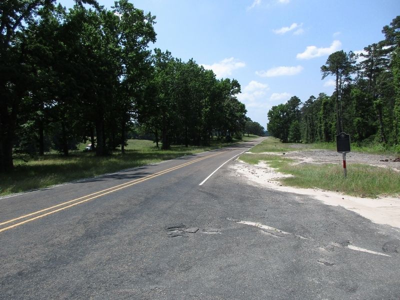
On North Freeway Service Road at Brimberry Cemetery Rd, on the right when traveling north on North Freeway Service Road.
Served in American Revolution from Halifax District of North Carolina, his native state. Later lived in South Carolina and in Conecuh County, Ala., coming to Texas at 97 to live with sons who had large land grants and helped to settle Walker County. . . . — — Map (db m274475) HM
Near Clepper Drive at Bessie Price Owen Drive, on the left.
Born in Ireland about 1790, James Jordan (also spelled "Jardine") came to Texas in 1826 as part of Jose Vehlein's colony. He built this cabin about 1830 on land obtained from the Mexican government in present Walker County. The hand hewn pine logs . . . — — Map (db m186669) HM
On State Highway 31 0.2 miles west of Parker Street (County Road 3302), on the left when traveling west.
In 1830, John Crane applied to be a part of Joseph Vehlein's colony. Reportedly from Virginia, he was a veteran of the War of 1812. He moved his wife and seven children to what is now Walker County, Texas, in 1834. There, he organized men and became . . . — — Map (db m31567) HM
On State Highway 75 0.1 miles south of Farm to Market Road 2793, on the left when traveling north.
A native of Walker County, Minnie Fisher earned a pharmacy degree at the University of Texas Medical Branch in Galveston in 1901. She worked in a Huntsville drugstore and married Attorney B.J. Cunningham in 1902. They moved to Galveston in 1907, and . . . — — Map (db m180226) HM
Oakwood Cemetery is home to many grave markers from the year 1867 when yellow fever, one of the most dreaded diseases of the time, struck the county. The disease ravaged many cities across the United States. Texas remained relatively untouched until . . . — — Map (db m129622) HM
On University Avenue, on the left when traveling north.
The earliest known inhabitants of this area were the Cenis and Bidai (Bedias) Indians. Spanish explorers began to arrive in 1542, followed by the French in 1687. The area was thinly populated by Spanish and Mexican settlers until the early 1830s . . . — — Map (db m307953) HM
On Bowers Boulevard 0.1 miles Avenue Sycamore, on the right when traveling east.
Located a few blocks from the first prison in Texas, the 1848 Huntsville Penitentiary, the Captain Joe Byrd Cemetery is the final resting place for more than 3,000 inmates who died while incargerated within the Texas prison system. The first inmate . . . — — Map (db m180265) HM
On Four Notch Road at Dorrell Road, on the left when traveling north on Four Notch Road.
Soldier and politician Henderson Yoakum (1810-1856) arrived in Texas in Oct. 1845 from Tennessee. In Dec. 1847, he purchased 640 acres from J.H. Shepherd seven miles east of Huntsville. At this site Yoakum built a center hall country home from . . . — — Map (db m180258) HM
On University Avenue, on the right when traveling south.
The first Walker County Courthouse was available for county Commissioners Court meetings in July 1848; the building was finally completed in the center of the Huntsville public square in 1850. Because of a defective foundation, a second courthouse . . . — — Map (db m29060) HM
A native of Pennsylvania, John Slater Besser was a Brigadier General, legislator, and judge in Missouri before moving his family to Texas in 1842. While living in Montgomery and Walker counties, Besser held a number of public offices before and . . . — — Map (db m129578) HM
On Avenue M at 12th Street, on the left when traveling north on Avenue M.
Sam Houston once said that he settled in Huntsville because the hills reminded him of his boyhood home in Maryville, Tennessee. The hills which lured him and many other prominent people here are the result of a geological formation. The geography of . . . — — Map (db m180498) HM
On Elmore Street at Walker Street, on the left when traveling south on Elmore Street.
The Rev. Felix Orzechowski, who came to Texas in 1866 to answer an appeal for Polish missionaries, organized St. Joseph's Parish in 1869. The first Catholic Church in Walker County, it served the many Polish families who settled this area in the . . . — — Map (db m180220) HM
On State Highway 21 0.9 miles west of Farm to Market Road 2158, on the right when traveling south.
James (1795-1870) and Calpernia (Franklin) (1805-1865) Mitchell came to Texas from Virginia in 1833 and received a Mexican land grant. In 1837 James served as a member of the commission to locate the seat of the newly formed Montgomery County; in . . . — — Map (db m219460) HM
Near Locust Street at Main Street (Business U.S. 82).
During the 4 years, 4 months after secession, Texas sent 18 lawmakers to the Confederate capitols. Her delegates to the Provisional Congress, Feb. 1861 to Feb. 1862, were John R. Gregg, Freestone County; John Hemphill, Travis County; Wm. B. . . . — — Map (db m96899) HM
Permanently wounded in the Battle of San Jacinto while serving in Captain William S. Fisher's company
Died January 18, 1842 near Old Cincinnati in Walker County, Texas — — Map (db m158949) HM
On Morgan Road 0.2 miles north of State Highway 30, on the left when traveling north.
Buck Foster Cemetery, also known as Foster or Loma Cemetery, is located about twelve miles west of Huntsville in the eastern part of the Loma Community. The cemetery was officially created when William Harrison "Buck" Foster (1835-1908) sold 100 . . . — — Map (db m195067) HM
In 1822 Jesse Parker moved to the Mexican state of Texas. A veteran of the War of 1812, he represented the Sabine District at the Convention of 1832 in San Felipe de Austin. Three years later he received a land grant in the Washington municipality, . . . — — Map (db m129701) HM
Born a slave and reared on the Alabama plantation of the Lea family, Joshua Houston was brought to Texas in 1840 by Margaret Lea and Sam Houston. During the years after the Civil War, he became a prominent businessman and respected community leader. . . . — — Map (db m8079) HM
On 11th Street (U.S. 190) east of Sam Houston Avenue (State Highway 75), on the left when traveling east.
Forrest Lodge No. 19, A.F & A.M., erected its first lodge building at this site early in 1850 on a lot measuring 50 by 75 feet purchased in 1849. The two-story white frame building was 50 feet square with five plastered brick columns in front. . . . — — Map (db m111849) HM
Near Gourd Creek Cemetery Road 0.1 miles north of Farm to Market Road 1375.
Born in Virginia, Elijah Collard later settled on the frontier in Kentucky and in Missouri, where he fought in the War of 1812. Collard migrated to Texas in 1833. He was elected to the Consultation at San Felipe in 1835 and served on the General . . . — — Map (db m180242) HM
On Possum Walk Road (Farm to Market Road 1374) 1.1 miles west of County Highway 215, on the right when traveling north.
Bath Cemetery near Union Hill Church was established in the 1870s. The earliest recorded burial is that of William Arnold (d. 1877). The burial ground has served the Bath Community, locally called Possum Walk, since that time and area residents and . . . — — Map (db m195014) HM
Near 10th Street at University Avenue, on the right when traveling east.
The Bedias (Bidai, Bedai) Indians, a small southeastern Texas tribe, were probably the earliest inhabitants of the Walker County region. "Bidai" is thought to derive from a Caddo word meaning "brushwood". The peaceful Bedias lived in scattered . . . — — Map (db m100258) HM
On Possum Walk Road (Farm to Market Road 1374) 1.1 miles west of County Highway 215, on the right when traveling north.
In 1872, W.L. Holloway donated a tract of land to the Bath Community. A small building on the land served as school and sanctuary for area residents who established Union Hill Church that same year. The congregation's first trustees were Martin . . . — — Map (db m195023) HM
On Sam Houston Avenue (State Highway 75) north of 12th Street, on the right when traveling north.
Formed from Montgomery County
Created April 6, 1846 --- Organized July 13, 1846
Named in honor of
Robert James Walker, 1801-1869
a distinguished citizen of
Mississippi and advocate of the
annexation of Texas
Renamed Walker County . . . — — Map (db m111861) HM
Joseph Addison Clark, who with his brother, Randolph Clark, later founded Texas Christian University, started this congregation in January 1854. The church originally had a dozen members who met in private homes, for a time worship services were . . . — — Map (db m180384) HM
Benjamin Harrison Powell (1881-1960) was a successful lawyer in the area for fifteen years until he was appointed in 1918 by Governor Hobby as judge of the 12th District Court and subsequently to the Commission of Appeals in Austin. Marian (Rather) . . . — — Map (db m129693) HM
On 10th Street at Avenue P, on the right when traveling west on 10th Street.
Noted for being Huntsville's oldest African-American neighborhood, Rogersville is roughly situated between 7th and 10th Streets and Old Madisonville Road and Avenue N. Micajah C. Rogers, Huntsville's first mayor, originally owned most of the land . . . — — Map (db m180442) HM
On Ranch Road 12 at River Road, on the right when traveling west on Ranch Road 12.
William Carvin Winters (1809-1864) and his wife Lavinia Winters (1805-1891) came to Texas from Tennessee in 1834, along with other members of his family. William and his brothers, James Washington and John Frelan, fought in the Battle of San . . . — — Map (db m198763) HM
Thin black lines indicate changes in relevance. Between each pair of lines entries are ordered geographically but all have the same relevance.
* Inflectional forms of words are their plurals, singulars, and possessives as well as gramatical tenses and similar variations.