On 16. Sk. just north of İsmail Bahri Bey Cd., on the right when traveling north.
English Text:
The remains of the ancient city of Thyateira, which is located within the borders of the county town of Akhisar, have been uncovered mostly in two areas named as the "Tepe Mezarligi" (Hill Cemetery) and the "Hastane . . . — — Map (db m119733) HM
Near 16. Sokak just north of İsmail Bahri Bey Cd., on the right when traveling north.
English Text:
The striking remains of the ancient city of Thyateira are located in the "Tepe Mezarligi (Hill Cemetery)" in the county town of Akhisar. The archeological excavations in this region were carried out by Professor Dr. Yusuf . . . — — Map (db m119765) HM
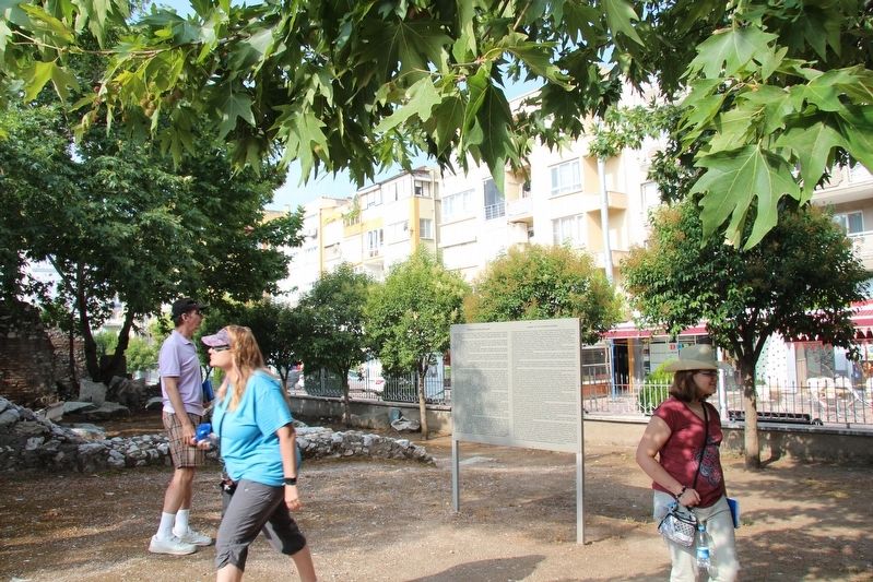
Near Şehit Polis Cemal Ilgaz Caddesi just north of İsmail Bahri Bey Cd., on the right when traveling north.
English Text:
In the excavations carried out in the east of the area called the "Tepe Mezarligi" (Hill Cemetery) within the range of the ancient city of Thyateira, a typical Roman street with columns was unearthed which lies in the . . . — — Map (db m119801) HM
On İsmet Paşa Caddesi close to Atatürk Cd., on the right when traveling west.
English Text
The Yildirim Beyazit Mosque, reflecting Ottoman architecture, located in Alasehir district of Manisa province.
Construction of the mosque was started between the years 1390-1400 by the Ottoman sultan Yildirim . . . — — Map (db m119167) HM
Near Kenan Evren Cd. just east of Sart Yolu, on the left when traveling east.
English Text:
Bathing was a part of an important Roman social tradition, which spread throughout the Roman Empire. That tradition emphasized the benefits of leisure and combined the pleasure of bathing in tepid, warm, and cold water . . . — — Map (db m119407) HM
Near Kenan Evren Cd. just east of Sart Yolu, on the left when traveling east.
Turkish Text:
Iki odali W/8-9 no''lu dükkân, muhtemelen boya üretim ve satis
yeri olarak kullanilmistir. Her iki odaya da dogruca revaktan
ulasilabiliyordu. Daha küçük olan W9 no''lu odanin tabani tuglalarla
kapliydi ve olasilikla . . . — — Map (db m119303) HM
Near Kenan Evren Cd. just east of Sart Yolu, on the right when traveling east.
The crane was brought to Sardis in 1911 by the Howard Crosby Butler Expedition and was used for lifting and moving fallen architectural blocks during excavation of the temple of Artemis, 1910-1914. The crane was operated by hand, had a lifting . . . — — Map (db m119416) HM
Near Kenan Evren Cd. just east of Sart Yolu, on the left when traveling east.
Turkish Text:
Hamamin güney girisinin her iki yaninda yer alan dükkânlar büyük
bir olasilikla lokanta veya taverna olarak hizmet vermekteydi. W1-2
no''lu dükkânin kazisinda iki adet ocak yeri ve yiyecek kaplari elde
edilmistir. W2 . . . — — Map (db m119305) HM
Near Kenan Evren Cd. just east of Sart Yolu, on the left when traveling east.
Turkish Text:
E5 no''lu dükkânin küçük olmasi ve içinde ilginç ev objelerinin bulunmasi, buranin bir mesken
olarak kullanildigina isaret etmektedir. Fevkalade enteresan objeler arasinda, uzun adimlarla
yürüyen aslan seklinde, . . . — — Map (db m119351) HM
Near Kenan Evren Cd. just east of Sart Yolu, on the left when traveling east.
English Text:
This monumental Roman avenue was one of a series of important east-wes
thoroughfares that passed through Sardis over a span of 2500 years. During the Lydian period (7th and 6th centuries BC), a road near here approached . . . — — Map (db m119309) HM
Near Kenan Evren Cd. just east of Sart Yolu, on the left when traveling east.
English Text:
Sardis (Sardeis in Greek, Sfard- in Lydian, Sparda in Persian, Sart in Turkish) has been the name of the settlement here for more than 3,000 years. The earliest known occupation dates from the Late Bronze Age, c. 1400 BC, . . . — — Map (db m119223) HM
Near Kenan Evren Cd. just east of Sart Yolu, on the left when traveling east.
This monumental synagogue occupied the southeast corner of the Roman bath-gymnasium and served as the center of a prosperous Jewish community during late antiquity. Discovered in 1962, the building is the largest known synagogue of the . . . — — Map (db m119383) HM
Near Kenan Evren Cd. just east of Sart Yolu, on the left when traveling east.
English Text:
Apse and Benches
The curved wall of the apse was once pierced by three niches and two vaulted passageways. The openings were later blocked and the wall covered with bands of white and colored marble. Three tiers of . . . — — Map (db m119405) HM
Near Kenan Evren Cd. just east of Sart Yolu, on the left when traveling east.
English Text:
Fountain
The large krater or vase at the center of the forecourt is a replica of the marble original, a fountain where congregants washed before prayer. Water was supplied by terracotta pipes below the floor. An . . . — — Map (db m119363) HM
Near Kenan Evren Cd. just east of Sart Yolu, on the right when traveling east.
English Text;
The temple, one of the largest in the world, was originally dedicated to Artemis. It faced west like other Anatolian temples of Artemis such as those at Ephesus and Magnesia. The two complete columns have stood intact . . . — — Map (db m119488) HM
Near Kenan Evren Cd. just east of Sart Yolu, on the right when traveling east.
English Text:
The Altar of Artemis (or "Lydian Altar") is the oldest preserved
building in the sanctuary of Artemis, and was the focus of its ritual and ceremony. It has two main building phases, one of
which is older than the temple. . . . — — Map (db m119504) HM