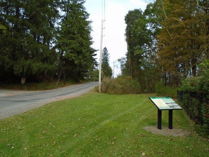
On Sand Spring Road (County Route 1008) at Hardytown Road, on the left when traveling south on Sand Spring Road.
The Flood of 1955 was the greatest natural disaster to affect Barrett Township in more than a century. The Flood occurred in the waning weeks of the summer of 1955 in the midst of the tourist season. Many of the local hotels and boarding houses . . . — — Map (db m125466) HM
On River Road 0 miles south of Hollow Road, on the left when traveling north.
The first settler of Shawnee. In 1727 purchased 3000 acres of land including the islands of Shawano and Manwalamink from the Minsi Indians. He was a grandson of Nicholas DuPuy and his wife Catherine DeVos, Huguenot refugees from Artois France . . . — — Map (db m106201) HM
On Main Street (U.S. 209), on the right when traveling north.
Colonel Jacob Stroud is buried in this graveyard,
originally the cemetery of the Mission of Dansbury.
Begun by the Monrovian Brethren in 1743, the chapel destroyed in the Indian uprising of 1755 was erected in 1753 under the leadership of Daniel . . . — — Map (db m37942) HM
On Main Street (U.S. 209) at 9th Street, on the left when traveling north on Main Street.
One of a chain of frontier forts of the Province of Pennsylvania in the French and Indian War. Erected under the direction of Benjamin Franklin. Stood hard-by to the rear extending across Ninth Street. Built in January 1756 by Captain Levi Trump and . . . — — Map (db m29) HM
On Rochester Street (New York State Route 251) 0.2 miles south of Main Street ( Route 383).
A Railroad Takes Over the Canal
The Genesee Valley Canal Railroad purchased the Genesee Valley Canal after it closed in 1878 or $100 a mile and began building tracks on the canal's towpath. By the time the line was opened here at . . . — — Map (db m64946) HM
On Slutter Road 0.5 miles Locust Ridge Road (State Route 4003), on the left when traveling east.
Born on December 25, 1745, Andrew Eschenbach, Jr. (Andreas, Jr.) lived most of his life in Philadelphia. At age 64 in 1809, he moved with his family to what was later named Tobyhanna Township. Andrew was among the first permanent settlers of our . . . — — Map (db m177492) HM
On Benton Avenue East (County Road H35) at North Clinton Street, on the right when traveling west on Benton Avenue East.
This building was built by Samuel Nobel in 1890. He was born November 30, 1819 in Hunting Co., Pennsylvania. In 1845 he moved to Fairfield, Iowa and four years later moved to Albia. At that time he started a dry goods store and ran that until 1865. . . . — — Map (db m188097) HM
On 3rd Street north of Fulmer Avenue / Kraemer Avenue, on the left when traveling north.
In 1868 the "Little Bethel" AME Church was built as a permanent place of worship for free yet segregated Native and Black Americans. Here they worshiped "Almighty God." The diverse congregation included Monroe County's Veterans of the United . . . — — Map (db m217042) HM WM
On Delaware Drive (Pennsylvania Route 611) at Hester Street, on the left when traveling north on Delaware Drive.
Measurer of the notorious Walking Purchase, 1737, lived in this area, 1755-1759. In the many Indian raids of this time, his wife and his oldest son were killed, 1757, supposedly in revenge. Later he returned to Bucks County. — — Map (db m37945) HM
Near South Washington Street south of West Hillside Road, on the right when traveling south.
John Dudley was born February 25, 1758 in Old Saybrook, Connecticut. In 1776 at the age of 18, he enlisted in the New Hampshire militia and served at Fort Ticonderoga in Colonel Reed's Regiment. There Dudley and the rest of the American troops . . . — — Map (db m230990) HM WM
On North Main Street south of First Street, on the left when traveling south.
Colonel William R. Morrison
One of Waterloo's most renowned and distinguished citizens was Colonel William R. Morrison, to whom the city owes its library.
The library building at the corner of Library and Park Streets was Colonel . . . — — Map (db m219967) HM
Near N. Texas Ridge Road 0.1 miles east of North County Line Road, on the left when traveling east.
(Side One)
Pennsylvania through truss iron bridge built 1903 by Lafayette Engineering Co.; crosses West Fork of White River, spans 316 feet, and rests on concrete and stone abutments. One of longest single-span iron bridges in Indiana; . . . — — Map (db m74167) HM
On Otia-Blythe Road east of Turkey Neck Bend (Kentucky Route 214), on the left when traveling south.
McMillian's Landing was a crossing point for both Union and Confederate troops making their way between Kentucky and Tennessee. Both forces viewed Monroe County and Tompkinsville as a key position for entry to central Kentucky and points northward. . . . — — Map (db m100955) HM
Near East State Street (New York State Route 408) at Genesee Street.
A Canal 1840-1878 The Genesee Valley Canal provided transportation through the Genesee River Valley between the Erie Canal in Rochester and the Allegheny River at Millgrove, southeast of Olean. The Genesee Valley Canal was one of several . . . — — Map (db m207301) HM
Near Park Road (County Route 25) 0.2 miles west of Corduroy Road.
The story of Powder Mills Park begins around 1850 when Daniel C. Rand arrived in this area from Middletown, Connecticut, where he was working for a manufacturer of blasting powder. The methods of making blasting powder, which is simply a coarse . . . — — Map (db m115406) HM
On North State Street (Ohio Route 3) at East Main Street, on the right when traveling north on North State Street.
From 1941 to 1967, Isaly's Dairy Store occupied this structure which
had an Art Deco influenced design. Isaly's was one of the first chain
businesses to come to Uptown.
The Isaly family, Swiss immigrants who settled in Monroe County,
Ohio, . . . — — Map (db m247891) HM
On Monroe Street at 7th Street, on the left when traveling west on Monroe Street.
Both cannons installed in 1897 by the Sons of
Veterans, Wadsworth GAR Post #150, of
Stroudsburg, Pennsylvania, to commemorate
Monroe County's involvement in the
American Civil War, 1861-65, and to honor the
hundreds of county . . . — — Map (db m141126) HM
On Kanawha Trail (West Virginia Route 311) at Jefferson Lane, on the right when traveling south on Kanawha Trail.
Ann Royall. Ann Royall, America's first woman journalist, lived here. Widowed at 50, she became an author and prominent figure in national political life. In her newspaper, "Paul Pry," at Washington, she set the style for modern columnists. . . . — — Map (db m34489) HM
Near Moore Road south of Elmwood Avenue, on the right when traveling south.
Empire State Trail – Rochester
Welcome to the western New York portion of the Empire State Trail. The Rochester area's settlement stretches back to the Seneca tribe -the westernmost of the Six Nations of the Iroquois Confederacy. While it's . . . — — Map (db m182422) HM
On Platt St 0.1 miles west of Brown's Race, on the right when traveling east.
The Earth is Constantly Changing
Soils and sands get washed from mountainsides and settle into lakes and oceans where they are naturally compressed into layers of sedimentary rocks. The layers of rock are like pages of a book and tell the . . . — — Map (db m64530) HM
The Genesee River valley, called by the Native Americans Gen-nis-he-yo (Geneseo) meaning "Pleasant Valley", was prized territory.
In addition to providing transportation and an abundant resource for salmon fishing and hunting, the land had . . . — — Map (db m64531) HM
Thin black lines indicate changes in relevance. Between each pair of lines entries are ordered geographically but all have the same relevance.
* Inflectional forms of words are their plurals, singulars, and possessives as well as gramatical tenses and similar variations.