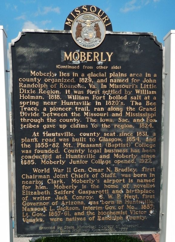
On North Sturgeon Street at West Reed Street, on the right when traveling north on North Sturgeon Street.
Moberly, the “Magic City,” grew from the town platted by the North Missouri R.R. (Wabash) in 1866 to a transportation center with a 6,070 population by 1880. The North Mo. acquired the site when it took over the Chariton and Randolph R.R. after . . . — — Map (db m110128) HM
William Hix operated the first ferry in Arkansas sometime around 1803 over the Current River, which separates northeastern Randolph County from Missouri. It was on the Natchitoches Trace, also known as the Old Southwest Trail. This important road . . . — — Map (db m170295) HM
On Court Street (Business U.S. 27) at Pine Street, on the left when traveling north on Court Street.
Randolph County was created by Act of Dec. 20, 1828 from Lee County. Originally Randolph County included all of what is now Stewart and Quitman and part of Terrell and Clay Counties. It was named for “John Randolph of Roanoke” (1773-1833), Virginia . . . — — Map (db m238725) HM
Randolph County was a "No-Man's Land" during all of the years of the
Civil War. Pocahontas and Pitman's Ferry were strategic locations because
of their necessary river crossings and important roads, and both the Union
and Confederate Armies . . . — — Map (db m170352) HM
On Kaskaskia Street (County Road 6) at Shaweeneetown Trail (County Road 3), on the right when traveling west on Kaskaskia Street.
This region lowered the French Bourbon flag in October 1765 when the territory fell under British control. A British military report commissioned a few years later states that the French redoubt here called Fort Kaskaskia had been burned and . . . — — Map (db m302431) HM
On North Bettis Street north of State Route 90, on the left when traveling north.
deMun, a French aristocrat (Chevalier or Knight),
emigrated to the U.S. in the 1790s. A trained
draftsman, he became the right hand man of
Benjamin Latrobe, architect of the U.S. Capitol.
deMun oversaw the construction of the west wing . . . — — Map (db m170292) HM
He is ranked among the representative citizens of Los Angeles County. He left Missouri in 1849 and settled in Santa Clara County. He came to Southern California in 1869 and purchased 325 acres of the old Dalton Tract, near El Monte. His family . . . — — Map (db m152637) HM
On Levee Road 3.3 miles south of Roots Road, on the left when traveling south.
Mississippi River Flooding and the Demise of Old Kaskaskia
Kaskaskia Village was the Randolph County seat of government from 1795 until 1844 when a massive flood extensively damaged the village, and the county seat was moved to Chester. . . . — — Map (db m257360) HM
On McDonald Street (U.S. 61/67) 0.1 miles East Broadway Street (State Highway 90/115), on the left when traveling south.
The railroad depot was donated to the City of Pocahontas by Michael Parker to honor the memory of his Grandfather,
Mr. Earney L. Dickson
He was a prominent businessman in Randolph County from 1920's until his death in 1974, During his . . . — — Map (db m174944) HM
Sometime before 1830, Ransom Bettis arrived and built a home on the bluff
overlooking this site. He operated a trading post for steamboat passengers and
pioneers traveling down the National Military Road. Bettis Bluff, as it was called
then, . . . — — Map (db m170290) HM
On Rice Street west of U.S. 62, on the right when traveling north.
At the beginning of the War Between the States in the spring of 1861, the people of Randolph County, with but few individual exceptions, were in favor of the proposed Confederacy, and did all in their power to help establish it Units, of . . . — — Map (db m170289) HM
On U.S. 62/67 north of South Bettis Street, on the right when traveling north.
People have hunted and fished in the rich Black River Basin at least since the Paleo Indian Period (beginning around 10,000 B.C.). More recently, Native American built villages and mounds across the Mississippi River valley (3000 B.C.-A.D.1650). . . . — — Map (db m170367) HM
On East Everett Street at North Bettis Street, on the left when traveling west on East Everett Street.
Erected in memory of the significant pain and lasting effects suffered by the people of Pocahontas and Randolph County during the Civil War.
Site of the capture of Confederate General Jeff Thompson, who was known . . . — — Map (db m172095) WM
Thin black lines indicate changes in relevance. Between each pair of lines entries are ordered geographically but all have the same relevance.
* Inflectional forms of words are their plurals, singulars, and possessives as well as gramatical tenses and similar variations.