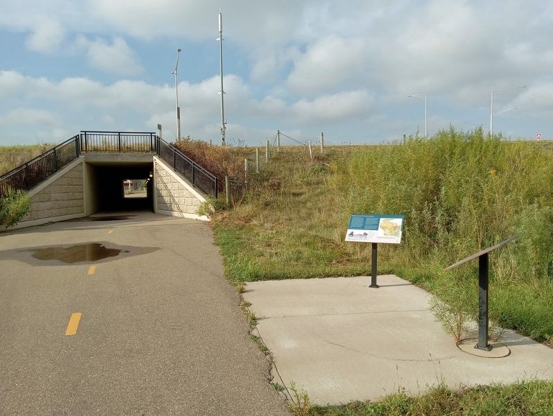
Near Wisconsin Route 35 east of Hawk Street, on the right when traveling east.
Based on archaeological evidence, the first known inhabitants of Wisconsin were the Paleo-Indians and Archaic cultures. They lived as hunters and gatherers between 10,000 and 3000 years ago. They were followed by the Woodland culture which . . . — — Map (db m238865) HM
The Lower St. Croix National Scenic Riverway includes the lower 52 miles of the St. Croix River between Taylors Falls, Minnesota and St. Croix Falls, Wisconsin and the confluence with the Mississippi River at Point Douglas, Minnesota and . . . — — Map (db m238994) HM
On North Main Street (State Highway 95) 0.6 miles north of Elm Street East, on the left when traveling north.
Here in 1839, in Crawford County, Wisconsin Territory, Joseph R. Brown, first settler of this valley, laid out the town of Dahcotah. The following year as a member of the Wisconsin Territorial Legislature, Brown secured passage of a bill setting . . . — — Map (db m233073) HM
On Minnesota Route 36, on the right when traveling west.
A replacement bridge crossing between the Stillwater, Minnesota area and the Town of St. Joseph, Wisconsin had been discussed for many years to address traffic congestions, safety, pedestrian use, and maintenance issues on the aging lift bridge. . . . — — Map (db m148113) HM
On Houlton School Circle at Hawk Street, on the right when traveling east on Houlton School Circle.
At the time of settlement by European immigrants in the mid-1800s, significant portions of western Wisconsin were covered by expanses of open grassland. The land was called "prairie" by early French settlers who could think of no other way to . . . — — Map (db m233786) HM
St. Croix County was once dotted with one-room country schoolhouses, all of which have been razed or converted to other uses. Camp Nine School, which was located near Glenwood City, Wisconsin, was one of the last which could still be salvaged. The . . . — — Map (db m158099) HM
Near Walnut Street West, west of 3rd Street South, on the right when traveling west.
Minnesota Territory 1849 – 1858
On March 3, 1849, during his last hours in office, President James K. Polk signed a bill adding a new name to the American political landscape – Minnesota Territory. A vast land, it stretched from . . . — — Map (db m43908) HM
On Depot Road 0.2 miles west of South Cascade Street (Wisconsin Highway 35), on the right when traveling west.
For thousands of years, this limestone bluff has been an area landmark. Chippewa Indians camped here along the "ginseng trail" that stretched from Balsam Lake in Polk County to New Richmond in St. Croix County. Overlooking the St. Croix National . . . — — Map (db m17667) HM
Near Hawk Street south of County Highway 35, on the left when traveling south.
To the Dakota and Ojibwe, life depended on their skills in using the natural resources. They made their own clothing, built their own homes, made their own tools and gathered or hunted for their food. The Ojibwe and Dakota were semi-nomadic . . . — — Map (db m234794) HM
Home to the hamlets of Houlton and Burkhardt, The Town of St. Joseph is a unique, rural, and beautiful place. The area's ample natural resources include bluff lands, streams, wetlands, woodlands, dairy farms, and rolling agricultural fields. The . . . — — Map (db m239280) HM
On County Road U 0.6 miles south of County Road N, on the left when traveling south.
Nicholas and Hely Schwalen were among the first farmers in St. Croix County. They emigrated from Honsfeld, Prussia, in present day German-speaking Belgium. The brothers arrived in Racine, Wisconsin in 1848 and steadfastly worked their way to St. . . . — — Map (db m46122) HM
Thin black lines indicate changes in relevance. Between each pair of lines entries are ordered geographically but all have the same relevance.
* Inflectional forms of words are their plurals, singulars, and possessives as well as gramatical tenses and similar variations.