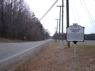
By J. J. Prats, January 16, 2010
Christopher Robinson Marker
RANKED BY RELEVANCE
On Old Virginia Street (County Route 602) at Town Bridge Road (County Route 615), on the right when traveling west on Old Virginia Street.
On Old Virginia Street (County Route 602) west of Cross Street (Virginia Route 227), on the left when traveling west.
On Old Post Road (Georgia Route 77) at Jack McVeigh Drive, on the right when traveling south on Old Post Road.
On Cross Street (Virginia Route 227) just south of Oyster Road ( Route 1002), on the right when traveling south.
On Prince George Street 0.1 miles west of Cross Street ( Route 227), on the right when traveling west.
On Urbanna Road (Virginia Route 227) south of County Route 1070, on the right when traveling north.
Near Grub Hill Church Road (State Road 609) 0.3 miles south of North Lodore Road, on the right when traveling south.
On US 17 at Rt 603, on the right when traveling south on US 17.
On Main Street 0 miles 1st Street, on the right when traveling south.
On General Puller Highway (Virginia Route 33) at Urbanna Road ( Route 227), on the left when traveling east on General Puller Highway. Reported permanently removed.
On General Puller Highway (Virginia Route 33) at Christchurch Drive, on the left when traveling east on General Puller Highway.
On General Puller Highway (Virginia Route 33) 0.5 miles east of Union Park Road, on the right when traveling west.
On Cross Street (Virginia Route 227) just south of Virginia Street ( Route 602), on the right when traveling south.
On Cross Street (Virginia Route 227) just south of Virginia Street ( Route 602), on the right when traveling south.
Paid Advertisement
On Siloam Church Road (State Highway S-24-29) 0.3 miles west of State Highway 246, on the right when traveling west.
On Main Ridge Road just south of Twin John Lane, on the right when traveling south.
On Plainview Road (County Route 663) just south of Long Point Lane (Route 646), on the right when traveling north.
On Jefferson Avenue (Virginia Route 143) 0.2 miles south of 6th Street, on the left when traveling south.
On Main Street (Connecticut Route 154) at Sand Creek Drive, on the left when traveling south on Main Street.
On Main Street (Connecticut Route 154) at Sand Creek Drive, on the left when traveling south on Main Street.
︽
Thin black lines indicate changes in relevance. Between each pair of lines entries are ordered geographically but all have the same relevance. * Inflectional forms of words are their plurals, singulars, and possessives as well as gramatical tenses and similar variations.
Nov. 13, 2026