THE HISTORICAL
MARKER DATABASE
“Bite-Size Bits of Local, National, and Global History”


11 entries match your criteria.  


Virginia, Strasburg, How Strata Shaped Strategy: The Hupp's Hill Civil War/Karst Interpretive Walking Trail Historical Markers
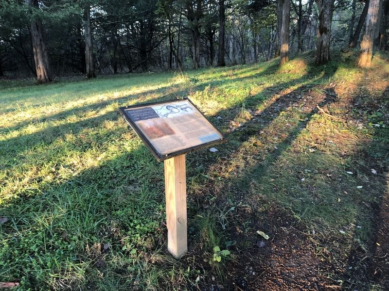
 
By Devry Becker Jones (CC0), October 31, 2020
A Natural Bombproof Marker
1 ► Virginia, Shenandoah County, Strasburg — CWK 2 — A Natural Bombproof — How Strata Shaped Strategy: The Hupp's Hill Civil War/Karst Interpretive Walking Trail —
Near Old Valley Pike (U.S. 11) 0.1 miles west of Signal Knob Drive, on the right when traveling west.
2 ► Virginia, Shenandoah County, Strasburg — CWK 1 — Crystal Caverns Mine — How Strata Shaped Strategy: The Hupp's Hill Civil War/Karst Interpretive Walking Trail
Near Old Valley Pike (U.S. 11) 0.1 miles west of Signal Knob Drive, on the right when traveling west. Reported damaged.
3 ► Virginia, Shenandoah County, Strasburg — CWK 3 — Hupp Cave — How Strata Shaped Strategy: The Hupp's Hill Civil War/Karst Interpretive Walking Trail —
Near Old Valley Pike (U.S. 11) 0.2 miles west of Signal Knob Drive, on the right when traveling west.
4 ► Virginia, Shenandoah County, Strasburg — CWK 13 — Hupp's "Little Gem" — How Strata Shaped Strategy: The Hupp's Hill Civil War/Karst Interpretive Walking Trail —
Near Old Valley Pike (U.S. 11) 0.1 miles west of Signal Knob Drive, on the right when traveling west.
5 ► Virginia, Shenandoah County, Strasburg — CWK 6 — Keyhole Cave — How Strata Shaped Strategy: The Hupp's Hill Civil War/Karst Interpretive Walking Trail —
Near Old Valley Pike (U.S. 11) 0.2 miles west of Signal Knob Drive, on the right when traveling west.
6 ► Virginia, Shenandoah County, Strasburg — CWK 11 — Lower Cave — How Strata Shaped Strategy: The Hupp's Hill Civil War/Karst Interpretive Walking Trail
On Old Valley Pike (U.S. 11) 0.1 miles west of Signal Knob Drive, on the right when traveling west. Reported unreadable.
7 ► Virginia, Shenandoah County, Strasburg — CWK 4 — Lunette — How Strata Shaped Strategy: The Hupp's Hill Civil War/Karst Interpretive Walking Trail —
Near Old Valley Pike (U.S. 11) 0.2 miles west of Signal Knob Drive, on the right when traveling west.
8 ► Virginia, Shenandoah County, Strasburg — CWK 10 — Signal Knob — How Strata Shaped Strategy: The Hupp's Hill Civil War/Karst Interpretive Walking Trail —
Near Old Valley Pike (U.S. 11) 0.1 miles west of Signal Knob Drive, on the right when traveling west.
9 ► Virginia, Shenandoah County, Strasburg — CWK 9 — Strasburg — How Strata Shaped Strategy: The Hupp's Hill Civil War/Karst Interpretive Walking Trail —
Near Old Valley Pike (U.S. 11) 0.1 miles west of Signal Knob Drive, on the right when traveling west.
10 ► Virginia, Shenandoah County, Strasburg — CWK 1 — Trail Head — How Strata Shaped Strategy: The Hupp's Hill Civil War/Karst Interpretive Walking Trail —
Near Old Valley Pike (U.S. 11) 0.1 miles west of Signal Knob Drive, on the right when traveling west.
11 ► Virginia, Shenandoah County, Strasburg — CWK 5 — Winter Quarters — How Strata Shaped Strategy: The Hupp's Hill Civil War/Karst Interpretive Walking Trail —
Near Old Valley Pike 0.2 miles west of Signal Knob Drive, on the right when traveling west.
 
 
CeraNet Cloud Computing sponsors the Historical Marker Database.
This website earns income from purchases you make after using our links to Amazon.com. We appreciate your support.
Paid Advertisement
Nov. 13, 2026
