7 entries match your criteria.
Related Historical Markers
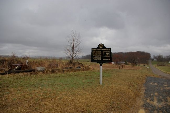
By Christopher Busta-Peck, March 29, 2009
Greenville Treaty Line Marker and the land to the east of it
SHOWN IN SOURCE-SPECIFIED ORDER
1 ► Ohio, Knox County, Fredericktown — Greenville Treaty Line — Originated 1797 —  |
| 2 ► Ohio, Knox County, Fredericktown — Greenville Treaty Line — Waterford Road, Knox County, Ohio — Second of a series of three, in Knox County — |
| 3 ► Ohio, Knox County, Loudenville — Greenville Treaty Line — |
| 4 ► Ohio, Knox County, Loudenville — Greene Ville Treaty Line — |
| 5 ► Kentucky, Carroll County, Carrollton — 1094 — Scott's Blockhouse — The Anchor Point of the Greenville Treaty Line — The Mouth of the Kentucky River — |
| 6 ► Ohio, Mercer County, Fort Recovery — Greene Ville Treaty Line — Surveyed by Israel Ludlow, 1797-1799 — |
| 7 ► Ohio, Shelby County, Fort Loramie — Greenville Treaty Line — the Starting Point — the Big Sycamore Tree on Loramie Creek — |