By James Hulse, August 10, 2021
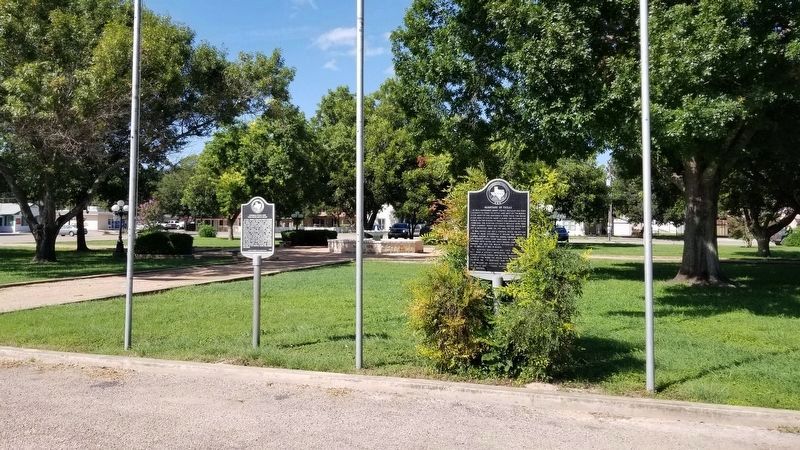
The General Wool and the Chihuahua Road Marker is on the left of the two markers
| On Angelo Street at Paris Street, on the right when traveling north on Angelo Street. |
| On Twigg Street east of Mesquite Street (State Highway 544), on the right when traveling east. |
| On Ramirez Street at Padre Street, on the right when traveling west on Ramirez Street. |
| Near Leopard Street (State Highway 407) east of North Alameda Street, on the right when traveling east. |
| On Chaparrel Street at Fitzgerald Street, on the right when traveling north on Chaparrel Street. |
| On Padre Street at Ramirez Street, on the right when traveling north on Padre Street. |
| On North Upper Broadway at Blucher Street, on the left when traveling south on North Upper Broadway. |
| On Matamoros Street west of Salinas Avenue, on the right when traveling east. |
| On West Walnut Street at North State Street, on the right when traveling east on West Walnut Street. |
| Near College Drive just west of Scottsville Road (Virginia Route 20), on the right when traveling west. |
| On Zachary Taylor Highway (U.S. 522) at Twin Mountains Road (Virginia Route 647), on the right when traveling north on Zachary Taylor Highway. |
| Near George Washington Memorial Parkway (at milepost 7). |
| On Spotswood Trail (U.S. 33), on the right when traveling east. |
| On Gordon Avenue (Virginia Route 231) south of Echo Back Lane, on the right when traveling north. |
| On James Madison Highway (U.S. 15/33), on the right when traveling north. |
| On South James Madison Highway (U.S. 15) at Little Skyline Drive (County Route 674), on the right when traveling south on South James Madison Highway. |
| On General Puller Highway (Virginia Route 33) at Woodport Lane, on the right when traveling east on General Puller Highway. |
| Near Smithfield Plantation Road, 0.1 miles south of Smithfield Road. |
| On Spotswood Trail (U.S. 33) at Old Montebello Drive, on the right when traveling east on Spotswood Trail. |
| On Germanna Highway (State Highway 3), on the right when traveling west. |
| On Germanna Highway (State Highway 3) at Constitution Highway (State Highway 20), on the right when traveling west on Germanna Highway. |
| On Constitution Highway (State Highway 20) at Bloomsbury Road, on the right when traveling west on Constitution Highway. |
| On West Main Street (State Highway 20) at Madison Road (U.S. 15), on the right when traveling west on West Main Street. |
| On Pacific Avenue (U.S. 60) just south of 14th Street. |
| On West Virginia Route 2 south of Woodland and Graysville Road, on the left when traveling south. |
| On 128 Dousman Street (U.S. 141) close to Museum Place, on the right. |
| On West Rice Street west of South Beaumont Road, on the right when traveling west. |
| On South Beaumont Road north of West Rice Street, on the right when traveling south. Reported permanently removed. |
| On West Rice Street west of South Beaumont Road, on the right when traveling west. |
| On Main Street (County Highway C) at Mill Street (State Highway 131) on Main Street. |
| On Dunroven Road at County Road DM, on the right when traveling south on Dunroven Road. |
| On County Highway Y at Canyon Park Road, on the right when traveling west on County Highway Y. |
| Near County Highway C, 2 miles west of U.S. 14, on the right when traveling west. |
| On County Route H, 0.2 miles north of Young Road. Reported missing. |
135 entries matched your criteria. Entries 101 through 135 are listed above.
⊲ Previous 100